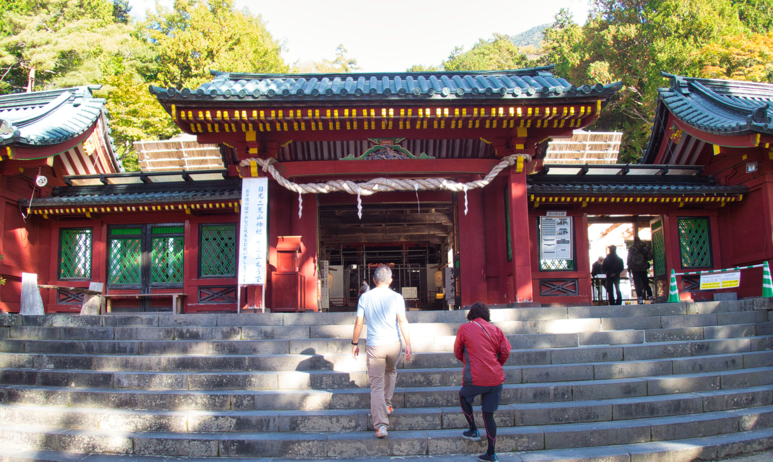
【Deep Dive Essays】Getting to Japanese Mountains: Complete Transportation Guide
目次
- 1 Trains, Buses, and Cars for Mountain Access
- 2 1. Introduction: Why Transportation Planning Matters
- 3 2. Understanding Japan’s Transportation System
- 4 3. Train Travel: The Backbone of Mountain Access
- 5 4. Bus Transportation: The Final Connection
- 6 5. Rental Cars: Flexibility and Independence
- 7 6. Taxis and Alternative Options
- 8 7. Regional Access Guides
- 9 8. Planning Your Journey: Step-by-Step
- 10 9. Cost Comparison and Money-Saving Strategies
- 11 10. Common Mistakes and How to Avoid Them
- 12 11. Seasonal Considerations
- 13 12. Conclusion: Your Transportation Toolkit
- 14 Additional Resources for Planning Your Journey
Trains, Buses, and Cars for Mountain Access
Article Information
- Difficulty Level: Beginner to Intermediate
- Target Audience: International visitors planning mountain trips in Japan
- Article Type: Practical transportation guide
- Keywords: Japan mountain transportation, train to hiking trails, Japanese bus system, mountain access Japan
- Related Articles: [Complete Guide to Hiking in Japan], [5 Best Mountains for Beginner Hikers Near Tokyo]
Navigate Japan’s Mountain Access with Confidence: Understanding Japan’s transportation system is crucial for successful hiking trips. This comprehensive guide covers train networks, bus services, rental cars, and practical strategies for reaching trailheads efficiently. Learn how to plan your journey, save money, and avoid common pitfalls that strand unprepared hikers.
1. Introduction: Why Transportation Planning Matters
The difference between a successful mountain trip and a frustrating experience often comes down to transportation. Japan’s mountains, while accessible, require navigating a complex system of trains, buses, and roads—each operating on precise schedules with limited flexibility.
The challenge: Miss the last bus from a trailhead, and you might face a ¥15,000 taxi ride or an unplanned night in the mountains. Arrive at a bus stop without correct change, and the driver may refuse to board you. Assume weekend bus service mirrors weekday schedules, and you’ll discover many mountain routes operate reduced or zero service outside peak seasons.
The opportunity: Master the transportation system, and Japan’s mountains become remarkably accessible. From central Tokyo, you can reach genuine alpine environments in 3-4 hours using only public transportation. The precision and reliability of Japanese transit—when properly understood—enables tight itineraries and efficient mountain experiences.
This guide provides the practical knowledge to plan transportation confidently, whether you’re heading to Mt. Takao for an afternoon or embarking on a week-long Northern Alps traverse.
2. Understanding Japan’s Transportation System

System Overview
Japan’s transportation network divides into distinct layers, each serving specific functions:
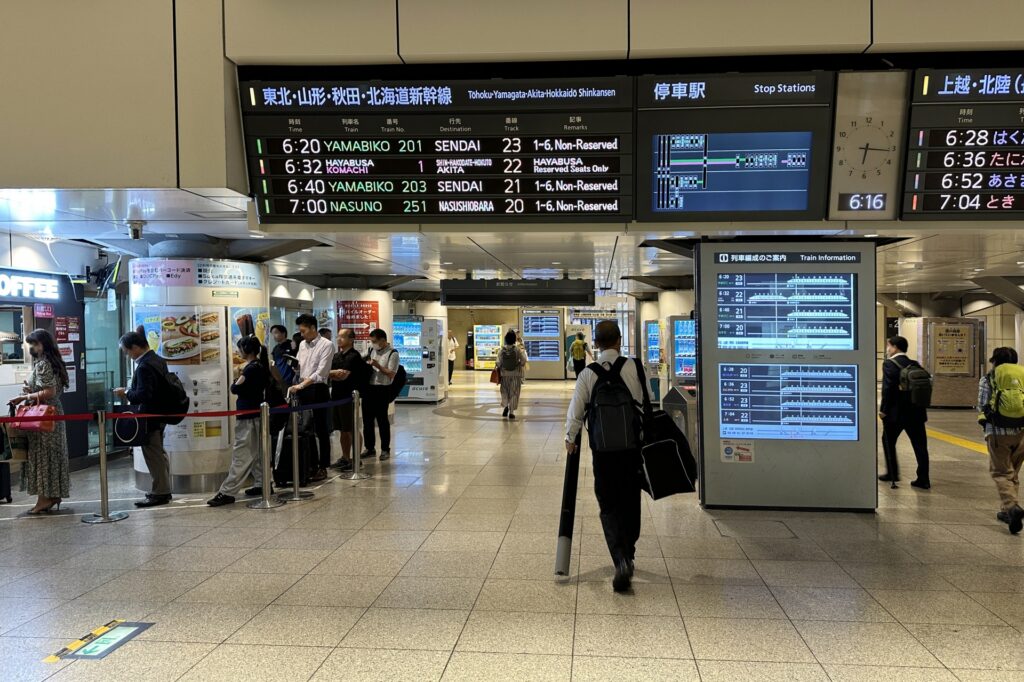
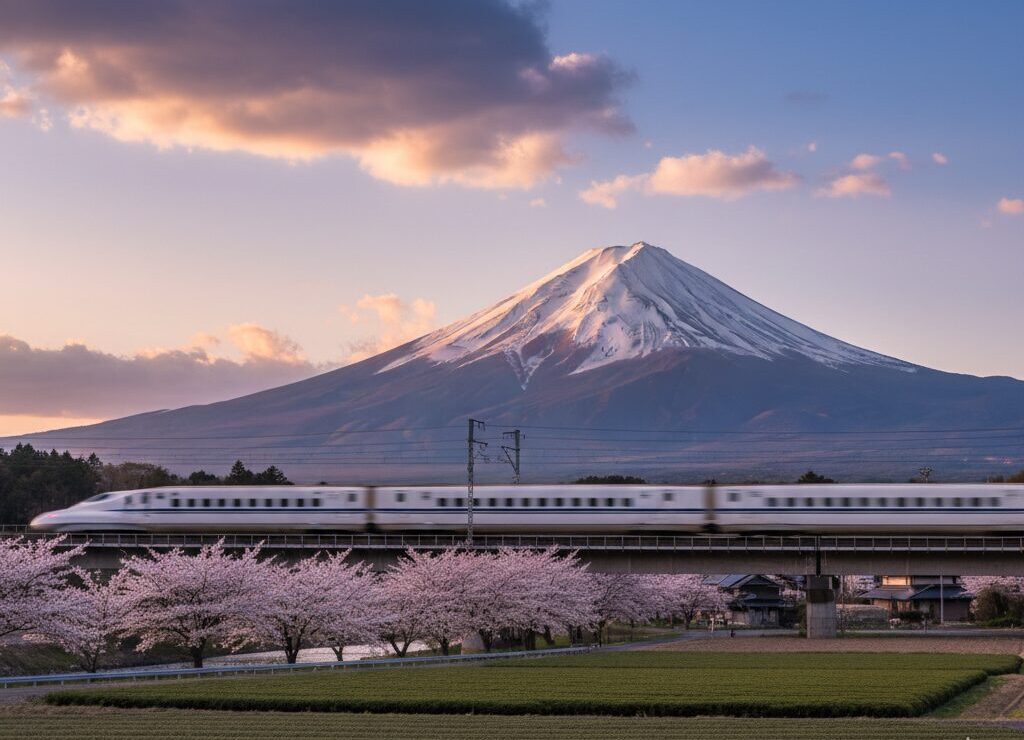
National rail (JR): Japan Railways operates the shinkansen (bullet train) network and major conventional lines. JR connects major cities and provides access to many mountain regions.
Private railways: Regional private companies operate trains in specific areas. Important for mountain access: Keio Line (Mt. Takao), Fujikyu Railway (Mt. Fuji area), Tateyama Kurobe Alpine Route.
Highway buses: Long-distance buses connect cities to mountain regions, often providing overnight service. Generally cheaper than trains but slower.
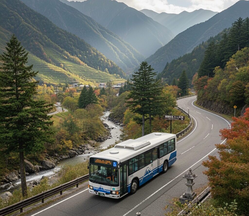
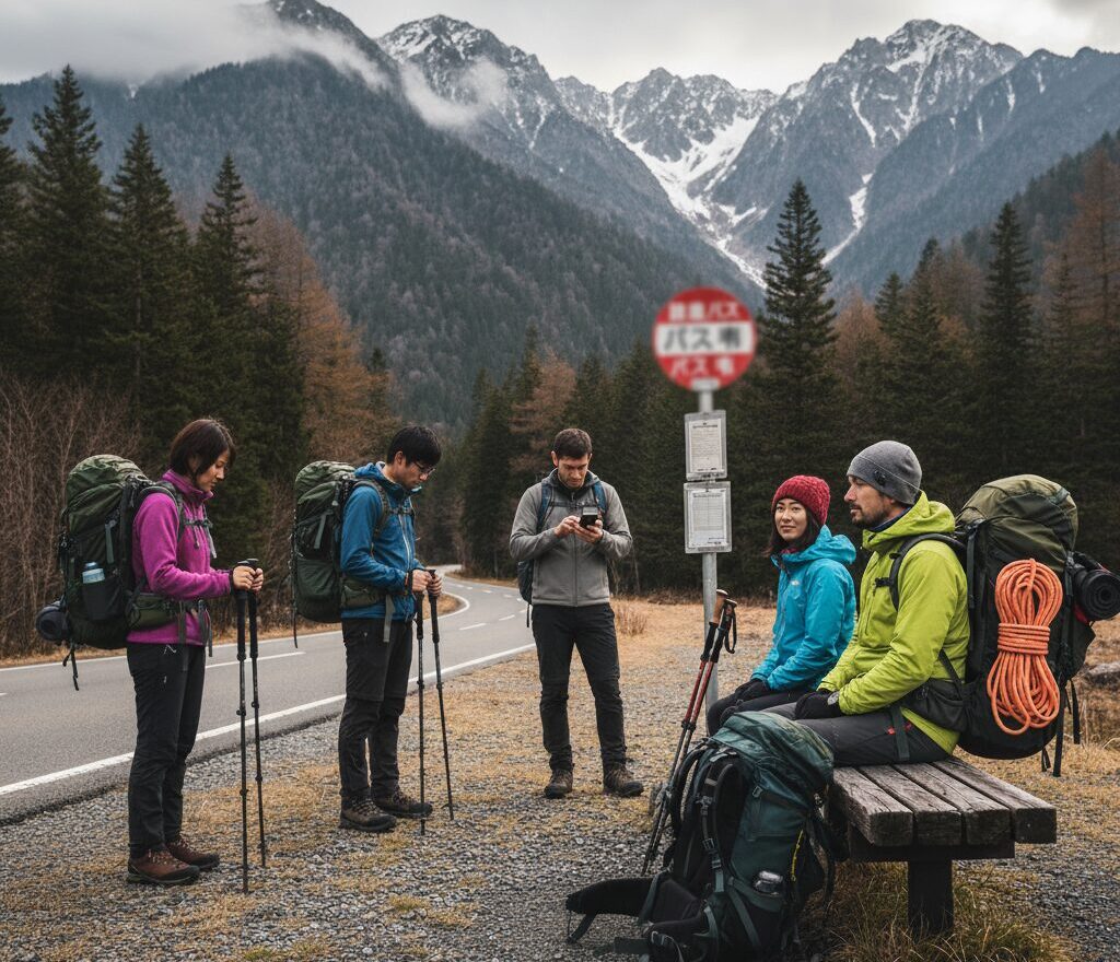
Local buses: The critical final link. Local buses connect train stations to trailheads. These services require the most careful planning due to limited schedules.
Rental cars: Provide maximum flexibility but require International Driving Permit, toll road navigation, and parking arrangements.
Key Characteristics
Punctuality: Japanese transportation operates with extraordinary precision. A train listed as departing at 8:43 will depart at 8:43, not 8:44. This reliability enables tight connections but demands punctuality from users.
Complexity: Multiple companies operate overlapping services with different fare systems, stations, and rules. A single journey might require tickets from three different operators.
Limited English: Outside major tourist routes, English signage and announcements become sparse. Station staff English ability varies widely.
Cash vs. IC cards: While IC cards (Suica, Pasmo, Icoca) work across most of Japan, some rural buses and mountain services remain cash-only.
Seasonal variation: Mountain bus services often operate seasonally (April-November typical) with reduced or zero winter service. Weekend vs. weekday schedules differ significantly.
3. Train Travel: The Backbone of Mountain Access

The JR Pass Decision
What is it? The Japan Rail Pass provides unlimited travel on JR trains (including most shinkansen) for 7, 14, or 21 consecutive days. Purchased outside Japan at significantly lower prices than individual tickets.
2024 prices (ordinary class):
- 7 days: ¥50,000 (~$340 USD)
- 14 days: ¥80,000 (~$540 USD)
- 21 days: ¥100,000 (~$680 USD)
When it makes sense:
Multiple long-distance trips: A single Tokyo-Nagano-Tokyo shinkansen journey costs ¥16,000. Two round trips justify a 7-day pass.
Base-hopping itinerary: Planning to visit Northern Alps, then Mt. Fuji area, then Hokkaido? The pass pays for itself.
Flexibility value: With a pass, spontaneous destination changes cost nothing. Weather bad in Kamikochi? Head to Nikko instead.
When it doesn’t make sense:
Single-region focus: Staying near Tokyo and making only local trips? Regular tickets or regional passes cost less.
Heavy bus usage: JR Pass doesn’t cover most buses (exception: some JR-operated buses).
Extended stays: If spending 10 days in one area, then traveling, you’ll waste pass days.
Regional alternatives:
- JR East Pass (Tohoku, Niigata, Nagano areas): ¥30,000 for 5 flexible days
- Hokuriku Arch Pass (Tokyo-Osaka via Kanazawa): ¥25,000 for 7 days
- Various other regional passes
IC Cards: Suica and Pasmo
What they are: Rechargeable contactless cards usable on trains, buses, and even some vending machines and shops. Purchase at major stations for ¥500 deposit (refundable).
Coverage: Work across most of Japan’s urban and suburban transit networks. Load value at ticket machines, tap at gates, balance deducts automatically.
Mountains utility: Excellent for reaching mountain areas from cities. However:
- Many mountain buses don’t accept IC cards
- Some rural stations lack IC card gates
- Balance can’t be checked on buses that do accept them
Recommendation: Essential for urban travel, useful for many mountain approaches, but carry cash backup.
Major Mountain Rail Routes
Tokyo to Northern Alps (Nagano, Matsumoto):
Shinkansen option (fastest):
- Tokyo → Nagano: 90 minutes, ¥8,200
- Tokyo → Nagano (JR Pass covered)
- From Nagano: buses to Togakushi, northern mountains
- Nagano → Matsumoto: 50 minutes, ¥1,170 (limited express)
- From Matsumoto: buses to Kamikochi, Norikura
Limited Express option (no JR Pass):
- Tokyo → Matsumoto: 2.5 hours, ¥6,620 (Azusa limited express)
- Direct service, comfortable, good views
- Advance seat reservations recommended (free with valid ticket)
Local trains option (cheapest):
- Tokyo → Matsumoto: 4-5 hours, ¥6,380
- Multiple transfers, but possible with JR Pass
- Good for flexible schedules, budget travelers
Tokyo to Mt. Fuji area:
To Kawaguchiko (Fuji Five Lakes):
- Direct highway bus from Shinjuku: 2 hours, ¥2,000
- Train: JR to Otsuki, transfer to Fujikyu Railway: 2.5 hours, ¥2,900 total
- Highway bus is simpler and cheaper
To Fuji-Yoshida (Yoshida Trail trailhead):
- Fujikyu Railway to Fuji-san Station: Same as Kawaguchiko +15 minutes
- Night buses available during climbing season (July-September)
Tokyo to Nikko:
Tobu Railway (most direct):
- Tobu-Nikko Line from Asakusa: 2 hours, ¥2,800
- Limited express option: 1 hour 50 minutes, ¥4,000
- Not covered by JR Pass
JR option (with JR Pass):
- Tokyo → Utsunomiya → Nikko: 2 hours, ¥2,800
- Good if you have JR Pass, otherwise Tobu is better
Tokyo to Yatsugatake:
To Chino/Chino-Shibutu Onsen:
- Limited express Azusa: 2.5 hours, ¥5,400
- Gateway to Kitayatsugatake ropeway
To Kobuchizawa:
- Limited express Azusa: 2 hours, ¥5,100
- Access to southern Yatsugatake trails
Osaka/Kyoto to Northern Alps:
Via Nagoya:
- Shinkansen to Nagoya: 50 minutes from Kyoto, ¥5,500
- Limited express Shinano to Matsumoto: 2 hours, ¥5,600
- Total: 3 hours, ¥11,100
Hokuriku route (scenic):
- Limited express Thunderbird to Kanazawa: 2.5 hours
- Connection to Toyama, then Tateyama area
- Good for Tateyama-Kurobe Alpine Route access
Practical Train Travel Tips
Reserved vs. non-reserved seats:
Shinkansen and limited express trains offer both:
- Reserved seats (指定席, shiteiseki): Guarantee your seat, advance booking required, small additional fee
- Non-reserved seats (自由席, jiyuseki): First-come, first-served, board via specific cars, cheaper
Strategy:
- Peak times (weekends, holidays): Reserve seats
- Off-peak: Non-reserved acceptable, save money
- Long journeys: Reserved seat comfort worth the cost
Luggage storage:
Overhead racks: Standard size backpacks (30-40L) fit easily.
Behind last row: Large backpacks can be placed in space behind final row of each car (limited space, first-come).
Between seats: Not recommended—blocks aisles.
Coin lockers: Available at most major stations. Large locker (¥500-700) fits big backpack. Use if splitting trip over multiple days with city accommodation.
Luggage forwarding service (takkyubin):
- Send luggage ahead to accommodations
- Cost: ¥2,000-3,000 per bag
- Useful for: Arriving in Japan, heading to mountains, want to avoid carrying bags through cities
- Services: Yamato Transport, Japan Post
- Book at hotels or convenience stores
Station navigation:
Major stations are vast: Tokyo, Shinjuku, Osaka stations sprawl across multiple levels with dozens of exits.
Transfer time reality: Allow 10-15 minutes for connections in major stations. Some platform changes require 5+ minutes walking.
Exit strategy: Know which exit you need. Stations may have 20+ exits, emerging from wrong exit adds 10-15 minutes walking.
Signage: Major stations have English signs. Follow color-coded lines on floor for major rail lines. “JR Line” signs in orange/green, private railways in company colors.
Information counters: Most major stations have tourist information or JR ticket offices with English-speaking staff (look for “English OK” signs).
4. Bus Transportation: The Final Connection
Bus travel represents the critical and often most challenging transportation element for mountain hiking. While trains bring you to mountain regions, buses complete the journey to trailheads.

Understanding Mountain Bus Systems
Operating characteristics:
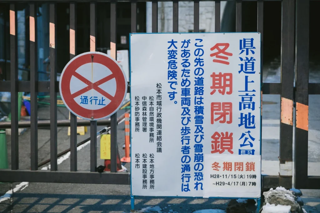
Seasonal service: Most mountain buses operate April-November only. Winter service to high-mountain areas generally non-existent.
Limited frequency: 3-5 buses per day typical. First bus often 6:30-8:00 AM, last bus 3:00-5:00 PM.
Weather dependence: Buses may cancel in severe weather or road conditions.
Advance reservations: Some popular routes require reservations (especially Kamikochi, Tateyama).
Cash requirements: Many mountain buses don’t accept IC cards. Exact change often required (change machines available on most buses).
Major Mountain Bus Operators
Alpico Transportation (Northern Alps):
Coverage: Matsumoto to Kamikochi, Norikura, Hakuba region
Key routes:
- Matsumoto/Shin-Shimashima → Kamikochi: 65 minutes, ¥2,600
- Reservation required during peak season
- First bus: 6:10 AM, last bus from Kamikochi: 5:00 PM
- Operates late April-November only
- Matsumoto → Norikura: 90 minutes, ¥2,600
- Reservation required
- Limited daily service (2-3 buses each direction)
Booking: Online at Alpico website (English available), convenience stores, bus terminals
Fujikyu Bus (Mt. Fuji, Yamanashi):
Coverage: Kawaguchiko area, Mt. Fuji Fifth Station, Yamanashi mountains
Key routes:
- Kawaguchiko Station → Mt. Fuji Fifth Station: 50 minutes, ¥2,300
- During climbing season only (July-September)
- Very crowded weekends—reserve in advance
- Kawaguchiko area retro buses: Loop local attractions, ¥200 per ride or ¥1,000 2-day pass
Booking: Online, FamilyMart convenience stores, station ticket counters
JR Bus (Various regions):
Coverage: Select routes in Tohoku, Kanto, and other regions
Characteristics:
- Covered by JR Pass (major advantage)
- Generally reliable service
- English information more available than private operators
Key routes:
- JR Bus Kanto: Services to Nikko area
- JR Bus Tohoku: Sendai to mountain areas
Keio Bus (Tokyo area mountains):
Coverage: Mt. Takao area, some western Tokyo mountains
Characteristics:
- Frequent service to popular destinations
- Good English signage
- IC cards accepted
Key route:
- Takao area: Multiple buses per hour from station, mostly ¥100-300
Highway Buses (Long-distance)
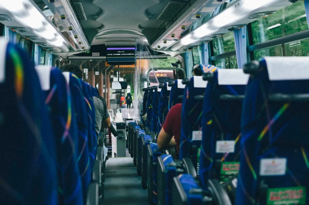
Highway buses offer overnight or daytime long-distance service at lower cost than trains.
Advantages:
- Cheaper than trains (often 30-50% less)
- Direct service to some mountain areas
- Overnight buses save accommodation costs
- Some routes not well-served by trains
Disadvantages:
- Slower than trains
- Less comfortable for tall passengers
- More weather-dependent
- Limited luggage space
Major operators:
- Willer Express (English booking available)
- JR Bus (various companies)
- Keio Bus
- Regional operators
Booking: Online booking essential (Willer Express, Japan Bus Online, Kosokubus.com). English options available on major sites.
Popular mountain routes:
- Tokyo → Matsumoto: Overnight, ¥3,500-5,000
- Tokyo → Kanazawa: Overnight, ¥4,000-6,000
- Osaka → Takayama: 5 hours, ¥4,000
Bus Riding Practicalities
How to board:
Rear door entry (most common on mountain buses):
- Board through rear door
- Take numbered ticket from machine (shows your boarding stop)
- Sit down
- Watch fare display board at front (shows fare for each ticket number)
- When approaching your stop, press button
- Exit through front door
- Insert ticket and exact fare into machine
- Driver will make change if needed (but better to have correct amount)
Front door entry (some urban buses):
- Board through front door
- Pay flat fare when boarding (IC card tap or cash)
- Press button near stop
- Exit through middle or rear door
Fare payment tips:
Change machines: Most buses have a change machine near the driver accepting ¥1,000 notes (breaks them into coins). Only works for ¥1,000 notes—¥5,000 and ¥10,000 notes not accepted.
Prepare coins: Before reaching your stop, use the change machine. Don’t wait until your stop to get change.
IC cards: If accepted (check for IC card reader near driver), simply tap when exiting. Balance deducts automatically.
Multiple passengers: If traveling together, one person can pay for multiple passengers. Tell driver “futari” (two people), “sannin” (three people), etc.
Reservation-Required Routes
Kamikochi (peak season: late April-early November):
- Reservations required during Golden Week (late April-early May) and August
- Book 2-4 weeks in advance for weekends
- Weekdays outside peak times: Often available without reservation
Tateyama-Kurobe Alpine Route:
- Multiple bus/cable car/ropeway segments
- Through-tickets available (¥10,000+ for complete traverse)
- Advance booking highly recommended April-May and September-October
- Book 1-2 months ahead for autumn colors peak (late September-early October)
Mt. Fuji (climbing season: July-September):
- Buses to Fifth Station can fill up
- Overnight buses from Tokyo book out weeks in advance
- Reserve 2-4 weeks ahead for weekends
Bus Schedules and Timing
First and last bus critical:
Morning first bus: Determines earliest possible hike start. Miss it, and you may arrive too late for safe summit return.
Afternoon last bus: Miss it, and you’re stranded. Options: expensive taxi, unplanned accommodation, or emergency bivouac.
Schedule variations:
Weekday vs. weekend: Many routes run reduced weekend service (counterintuitive but true, especially outside peak season)
Seasonal changes: Summer schedules (July-August) often add buses. Spring/autumn reduce service. Winter may eliminate service entirely.
Holiday schedules: Golden Week, Obon (mid-August), and autumn foliage peak weekends see additional buses but also book up fast.
Where to find schedules:
Official websites: Most reliable but often Japanese-only. Use browser translation.
Hyperdia: Journey planning website/app, includes some bus routes, English available.
Jorudan: Similar to Hyperdia, more comprehensive for buses, mostly Japanese.
Station information desks: Staff can print current schedules.
Trailhead information boards: Schedules posted, but may not show updates.
Key Japanese phrases:
- バスの時刻表 (basu no jikokuhyō): bus timetable
- 始発 (shihatsu): first bus/train
- 終発 (shūhatsu): last bus/train
- 平日 (heijitsu): weekdays
- 土日祝 (donichi-shuku): weekends and holidays
5. Rental Cars: Flexibility and Independence
Rental cars provide maximum flexibility and access to remote trailheads but require understanding Japanese driving rules and navigation systems.

When Cars Make Sense
Advantageous situations:
Groups of 3-4: Cost splits favorably compared to per-person bus/train fares.
Remote trailheads: Many excellent mountains have no or extremely limited bus service.
Flexible itineraries: Want to change plans based on weather? Cars enable spontaneous route changes.
Multiple peaks: Visiting several trailheads in a region becomes efficient.
Heavy gear: Camping equipment, winter gear, or large groups’ food supplies easier to transport.
When cars don’t make sense:
Solo travelers: High cost, all driving responsibility, parking fees add up.
Urban-based: Tokyo/Osaka parking is expensive and unnecessary given excellent transit.
Drinking: Japan has zero-tolerance drunk driving laws with severe penalties.
Popular well-served routes: Kamikochi, Mt. Takao, etc. have excellent bus service; car adds cost and parking hassle.
Requirements and Regulations
International Driving Permit (IDP):
Required: Japan doesn’t recognize foreign licenses alone. You must carry:
- International Driving Permit (Geneva Convention 1949 version)
- Your original driver’s license from home country
- Passport
Where to get IDP:
- Automobile associations in your home country (AAA in USA, AA in UK, etc.)
- Cost: $15-30
- Validity: One year
- Apply before leaving your country (cannot be obtained in Japan)
Age restrictions: Most companies require drivers be 18+ for basic cars, 20+ for larger vehicles.
Driving fundamentals:
Left-side driving: Japan drives on the left side, opposite to most of Europe and North America. Controls (turn signals, wipers) are reversed from right-side driving countries.
Speed limits:
- Urban areas: 40-50 km/h
- Rural roads: 50-60 km/h
- Expressways: 80-100 km/h
- Limits strictly enforced; police use radar and cameras
Zero tolerance drunk driving: Any detectable alcohol (0.03% blood alcohol) results in arrest, heavy fines, and possible deportation for foreigners.
Stop signs: “止まれ” (tomare) painted on road means full stop required, even if no traffic visible.
Rental Process
Major companies:
International chains:
- Toyota Rent a Car: Extensive network, English service, reliable
- Nissan Rent a Car: Similar coverage to Toyota
- Times Car Rental: Good prices, English booking
- Budget/Avis: Limited Japan presence but familiar to international travelers
Japanese companies:
- Nippon Rent a Car: Largest network, improving English service
- Orix Rent a Car: Good prices, less English support
Booking: Reserve online in advance (especially cherry blossom season, autumn colors, and Golden Week). Same-day rentals possible in off-season but risky.
Pick-up locations: Major train stations usually have rental counters nearby (often 5-10 minute walk). Some locations offer free shuttle from station.
Costs (per day):
- Compact car: ¥5,000-7,000
- Mid-size: ¥7,000-10,000
- Large/7-seater: ¥10,000-15,000
- Insurance: Usually included in base rate
- Additional driver: ¥500-1,000 per day
- GPS/English navigation: Often free, sometimes ¥500/day
- Snow tires (winter): ¥1,000-1,500/day or included in winter rates
Insurance: Basic insurance included in rental rates covers most accidents with deductibles (typically ¥50,000). Additional full-coverage insurance (¥1,000-2,000/day) eliminates deductibles—recommended.
One-way rentals: Returning car to different location possible but adds fees (¥5,000-20,000 depending on distance).
GPS systems:
English GPS: Request at booking. Most modern rental cars include English-capable GPS. Interface usually straightforward.
Using GPS:
- Enter destination by phone number (most reliable method in Japan—every facility has unique phone number)
- Or enter by address
- GPS map button: マップ (mappu)
- Destination: 目的地 (mokutekichi)
- Route: ルート (rūto)
Smartphone navigation:
Google Maps: Works well in urban areas, less reliable in mountains. Download offline maps before departure (mountains often have limited cell service).
Alternative apps:
- Mapfan: Popular Japanese navigation app, some English
- Yahoo! Car Navigation: Free, mostly Japanese
- Sygic: Offline GPS option
Paper maps: Useful backup in areas with no cell service. Available at convenience stores, gas stations.
Mountain Roads
Road types:
Toll expressways (高速道路, kōsoku-dōro): Fast inter-city highways. Tolls are expensive (Tokyo to Matsumoto: ~¥5,000-6,000). ETC cards (electronic toll collection) give discounts but require Japanese bank account—use cash lanes.
National roads (国道, kokudō): Free major routes, often used for mountain access. Numbered (Route 19, etc.).
Prefectural roads (県道, kendō): Secondary routes, often lead to trailheads.
Forest roads (林道, rindō): Unpaved or rough roads accessing remote trailheads. May require high-clearance vehicles. Some closed to general traffic.
Toll mountain roads:
Some mountain access roads charge tolls:
- Fuji Subaru Line (Mt. Fuji Fifth Station): ¥2,100
- Norikura Skyline: Free but private cars prohibited (bus only)
- Tateyama Alpine Route: Various fees, complex pricing
Winter closures:
Many mountain roads close November-April due to snow. Major closures:
- Kamikochi: Mid-November to mid-April
- Norikura: November to May
- Tateyama-Kurobe: December to mid-April
- Check road status before departure
Mountain road driving tips:
Narrow roads: Mountain roads often lack shoulders. Pullouts allow passing. Uphill traffic has right of way.
Switchbacks: Tight hairpin turns common. Take wide approach, slow speeds.
Wildlife: Deer, monkeys, bears cross roads. Dusk and dawn especially risky. Hit animal = driver responsibility for damage.
Rockfall: Signs warning “落石注意” (rakuseki chūi) mean rockfall danger. Don’t linger in these areas.
Parking at trailheads:
Free parking: Many trailheads offer free parking (20-100+ spaces depending on popularity).
Paid parking: Popular destinations charge ¥500-1,000/day.
Overnight parking: Usually allowed at trailhead lots but check posted signs. “駐車禁止” (chūsha kinshi) means no parking.
Security: Car break-ins rare but leave nothing valuable visible. Don’t leave hiking permits or accommodation information visible (thieves target cars of hikers away multiple days).
Parking challenges:
Popular mountains on weekends: Arrive by 6:00 AM or risk full lots. Secondary parking areas may be 1-2 km from trailhead.
Golden Week and peak autumn: Impossible parking situations at famous spots. Public transportation better option.
Gas Stations
Types:
Full service (フルサービス, furu sābisu): Attendants pump gas, check oil, wash windows. More common in rural areas. Slightly higher prices.
Self service (セルフ, serufu): Pump yourself, cheaper. Increasing in rural areas.
Refueling process:
Full service:
- Pull in, attendant approaches
- Say “Regular, man-tan de” (regular, full tank)
- Payment: Cash or credit card to attendant
- Wait in car
Self service:
- Pull up to pump
- Select fuel type (レギュラー/regyurā = regular, most cars)
- Insert payment (credit cards often require postal code—enter 000-0000 or use cash)
- Pump fuel
- Replace nozzle
- Collect receipt
Costs: ¥150-180 per liter typical (varies by region and season). Budget ¥5,000-8,000 for gas on a Tokyo-Matsumoto-Tokyo round trip in a compact car.
Finding gas stations: Navigation systems show nearby stations. Look for signs: ガソリンスタンド (gasorin sutando) or GS.
6. Taxis and Alternative Options

Taxi Services
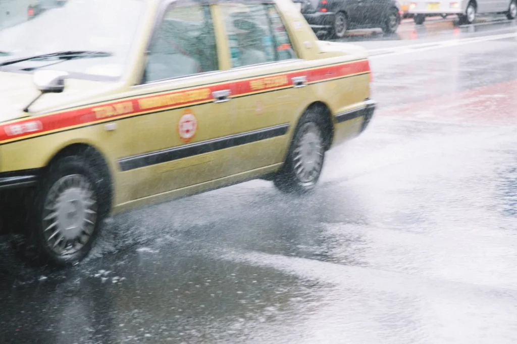
When taxis make sense:
Missed last bus: Often the only option besides hitchhiking (not recommended) or emergency bivouac.
Early morning starts: First bus too late? Taxi to trailhead allows earlier start.
Groups of 3-4: Splitting fare makes some routes cost-competitive with buses, especially when bus requires multiple transfers.
Remote trailheads: No bus service exists for many excellent routes.
Emergency evacuation: Injury or illness requires getting off mountain.
Costs and Logistics
Fare structure:
Base fare: ¥500-730 depending on region (first 1-2 km)
Distance: ¥80-100 per 300-400 meters
Time: Additional charges during low-speed travel (traffic, waiting)
Highway tolls: Added to fare if used
Typical mountain taxi costs:
- Station to nearby trailhead (5-10 km): ¥2,000-3,000
- Station to remote trailhead (20-30 km): ¥6,000-10,000
- Matsumoto to Kamikochi: ¥15,000-20,000
- Emergency mid-mountain evacuation: Variable, potentially ¥20,000+
Booking taxis:
At taxi stands: Major stations have taxi ranks. Simply board next available taxi.
Smartphone apps:
- GO (formerly Japan Taxi): English available, credit card payment, GPS pickup
- Uber: Limited Japan coverage, mainly Tokyo/Osaka
- DiDi: Expanding in Japan, some English
Phone booking: Requires Japanese language ability. Have hotel staff assist if needed.
Advance booking: For early morning mountain access, book 1-2 days ahead. Provide:
- Pickup time and location
- Drop-off location (use trailhead phone number if available)
- Number of passengers
- Contact number
Language:
- タクシー (takushī): taxi
- 予約 (yoyaku): reservation
- [destination]まで ([destination]-made): to [destination]
Taxi tips:
Communication: Have destination written in Japanese. Show driver phone number or map.
Doors: Rear left door opens/closes automatically. Don’t touch it.
Payment: Most accept cash only. Some accept credit cards (ask: “クレジットカード使えますか?” / kurejitto kādo tsukaemasu ka?).
Receipts: Always provided, includes phone number to call if item left behind.
Tipping: Not done in Japan. Attempting to tip may confuse or offend driver.
Hitchhiking
Legal status: Hitchhiking is legal in Japan but uncommon.
Cultural context: Japanese people generally don’t pick up hitchhikers. As a foreigner, your chances are slightly better than for Japanese hitchhikers, but still low.
Mountain areas: Slightly better success rate near trailheads as drivers recognize the situation. Still unreliable.
Safety: Generally safe given Japan’s low crime rate, but all standard hitchhiking risks apply.
Recommendation: Don’t plan transportation around hitchhiking. If stranded with no bus and can’t afford taxi, it’s an option, but may mean hours of waiting.
Tour Companies
Guided day trips: Several companies offer all-inclusive mountain day trips from Tokyo:
Advantages:
- No transportation planning needed
- English-speaking guides
- Group experience
- Usually includes insurance
Disadvantages:
- Expensive (¥10,000-60,000 per person)
- Fixed itinerary, no flexibility
- Slower pace to accommodate all participants
- Limited destination options
Major operators:
- Willer Travel (English service)
- Jorudan (Japanese company, some English)
- Various smaller adventure tour companies
7. Regional Access Guides
Detailed transportation strategies for major mountain regions.
Northern Alps (Kita Alps)
Primary gateways:
Matsumoto:
- Major hub for Northern Alps access
- Train connections: JR Chuo Line from Tokyo (2.5 hours express, ¥6,620)
- Shinkansen via Nagano: Tokyo → Nagano (90 min) → Matsumoto (50 min local)
- Base for: Kamikochi, Norikura, Utsukushigahara
Nagano:
- Shinkansen from Tokyo: 90 minutes, ¥8,200 (JR Pass covered)
- Access to northern mountains, Togakushi area
Shinano-Omachi:
- Local trains from Matsumoto: 1 hour
- Access to: Tateyama, Kurobe area
Key routes:
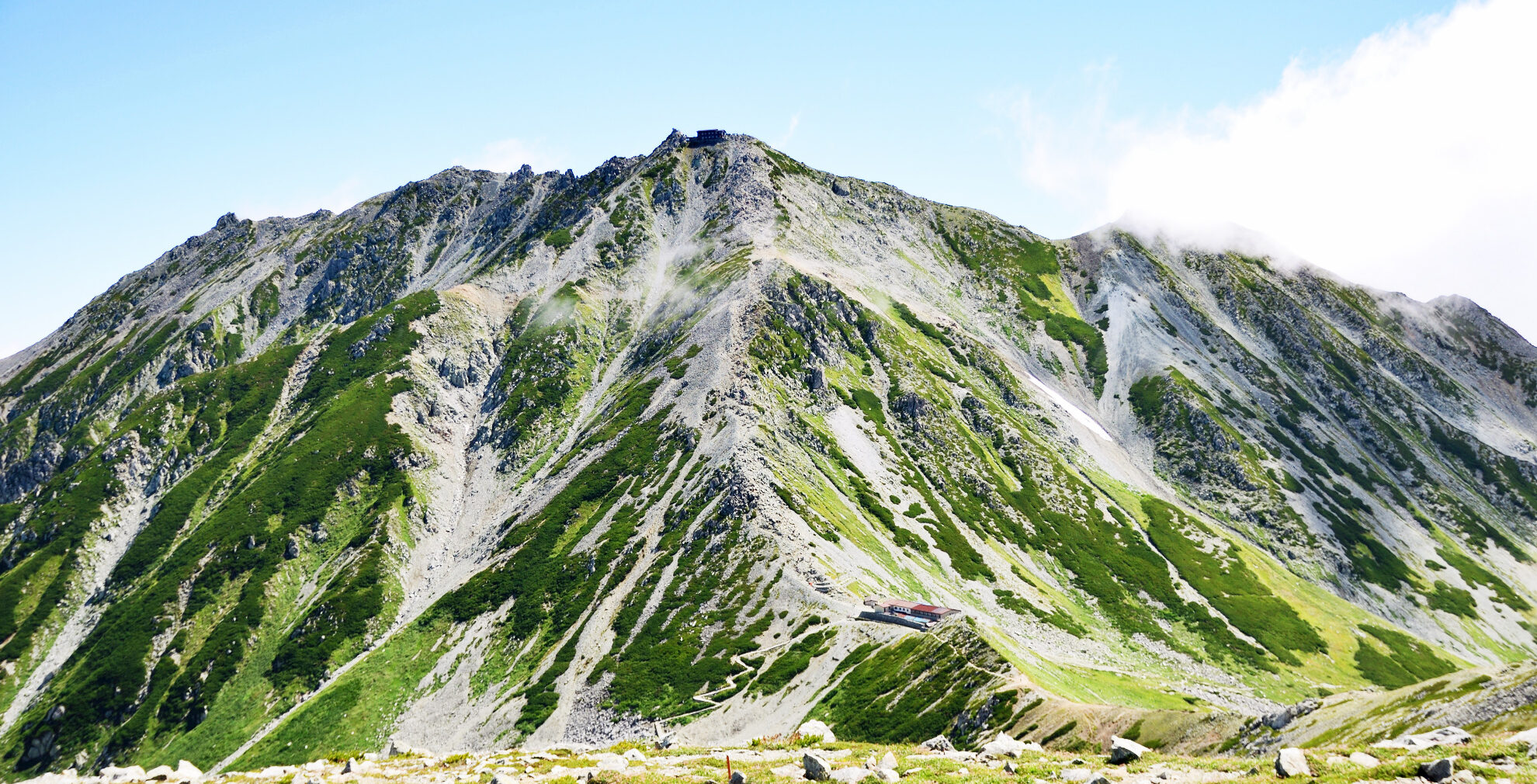
Kamikochi (most popular Northern Alps destination):
From Matsumoto:
- Train to Shin-Shimashima (30 min, ¥700)
- Bus to Kamikochi (65 min, ¥2,600, reservation required peak season)
Total: 2 hours, ¥3,300
From Takayama:
- Direct bus (90 min, ¥2,600, reservation required)
Season: Late April-early November only
Norikura:
From Matsumoto:
- Direct bus (90 min, ¥2,600)
- Or train to Shinshimashima, bus to Norikura Kogen, shuttle to summit area
Season: July-October only (weather dependent)
Tateyama-Kurobe Alpine Route:
From Shinano-Omachi:
- Multiple transportation segments (bus, cable car, ropeway)
- Through-ticket: ¥10,000+ (varies by season and route)
- Book 1-2 months advance for autumn colors
8. Planning Your Journey: Step-by-Step
Successful mountain transportation requires methodical planning. This section provides a systematic approach to ensure you reach trailheads on time and return safely.
Step 1: Determine Your Mountain and Route
Before booking any transportation, confirm:
Trail information:
- Trailhead name and location
- Expected hiking duration
- Required start time (for summit attempts, consider weather and afternoon thunderstorms)
- Return time to trailhead
Seasonal access:
- Is the road open? (winter closures common)
- Are buses operating? (many routes seasonal)
- Do you need reservations?
Information sources:
- Mountain official websites
- YAMAP app trail information
- Recent trip reports (check for road/trail closures)
Step 2: Work Backwards from Your Timeline
Calculate required times:
Example: Mt. Hotaka day hike from Kamikochi
- Trailhead return target: 3:00 PM (to catch bus)
- Hiking time: 8 hours round trip
- Required start: 7:00 AM
- Transit time to trailhead: 2 hours
- Must leave Matsumoto: 5:00 AM
- First bus departs: 6:10 AM
- Must stay overnight in Matsumoto or take earlier accommodation in Shin-Shimashima area
This backward calculation reveals whether your plan is feasible with available transportation.
Step 3: Check Schedules and Availability
Transportation research checklist:
Trains:
- [ ] Departure times from origin city
- [ ] Connection times (allow 10-15 minutes in major stations)
- [ ] Arrival time at mountain region station
- [ ] Reserved vs. non-reserved seat availability
- [ ] JR Pass coverage or ticket costs
Buses:
- [ ] First bus time from station to trailhead
- [ ] Last bus time from trailhead to station
- [ ] Frequency (how many buses per day?)
- [ ] Reservation requirements
- [ ] Cost and payment methods accepted
- [ ] Alternative pickup/drop-off points
Schedule sources:
- Hyperdia (trains, some buses): https://www.hyperdia.com
- Jorudan (comprehensive, mostly Japanese): https://www.jorudan.co.jp
- Google Maps (useful but not always accurate for mountain buses)
- Official bus company websites (most reliable)
Step 4: Build in Buffer Time
Where buffers matter:
Train connections: Minimum 10 minutes between trains in major stations, 5 minutes in smaller stations. Add 5 minutes if platform change required.
Bus connections: 15-20 minutes preferred, especially if bus departs from location away from train station.
Final bus timing: Plan to reach trailhead bus stop 15-20 minutes before last bus. Trails often take longer than estimated, and missing the last bus creates serious problems.
Weather delays: Mountain buses may run late due to weather or road conditions. Build 30-60 minute buffer before important connections (shinkansen, flights).
Step 5: Book Required Elements
Priority booking order:
- Accommodation (if staying overnight near mountains)
- Reserved bus seats (Kamikochi, Tateyama, Mt. Fuji routes during peak season)
- Train reserved seats (shinkansen, limited express during holidays/weekends)
- Mountain hut reservations (if multi-day trip)
Booking timeline:
2-3 months ahead:
- Mountain huts during peak season
- Tateyama-Kurobe Alpine Route in autumn color season
- Accommodation near popular mountains for weekends/holidays
1 month ahead:
- Mt. Fuji climbing season buses
- Kamikochi buses for Golden Week and August
- Highway buses for holiday periods
1-2 weeks ahead:
- Most mountain buses outside peak times
- Hotel/guesthouse near mountain areas
- Rental cars for holiday weekends
Few days ahead:
- Train reserved seats (except peak periods)
- Most standard transportation
Booking platforms:
English-available:
- Alpico bus reservations: https://www.alpico.co.jp (partial English)
- JR train reservations: Through JR Pass office or station ticket counters
- Highway buses: https://willerexpress.com, https://www.kosokubus.com
- Rental cars: Major companies have English sites
Requires Japanese:
- Most mountain bus companies
- Local accommodations
- Regional bus operators
If you can’t read Japanese:
- Use Google Translate camera function on websites
- Ask hotel staff to assist with bookings
- Book through tour companies (higher cost but handles everything)
- Join English-speaking hiking groups who share booking knowledge
Step 6: Prepare Backup Plans
Common disruptions and responses:
Weather cancellation:
- Mountain buses often cancel in heavy rain, snow, or wind
- Have alternative, lower-elevation hike options
- Keep accommodation flexible (cancel without penalty if possible)
Missed connection:
- Know the next available transportation option
- Have taxi company numbers saved in phone
- Budget extra for emergency taxi if needed
Injury or illness:
- Know location of nearest medical facilities
- Have mountain rescue/emergency contact numbers
- Understand your insurance coverage
Early finish:
- Earlier bus times allow flexibility
- Alternative activities near trailhead (onsen, museums, etc.)
Step 7: Document Everything
What to keep accessible:
Digital copies (save offline on phone):
- Train/bus reservation confirmations
- Schedule screenshots
- Maps showing bus stop locations
- Emergency contact numbers
- Accommodation addresses and phone numbers
- Rental car confirmation
Physical copies (print if possible):
- Bus schedules (in case phone dies)
- Hiking maps
- Emergency contact card with Japanese
Information to memorize or write down:
- Bus stop names in Japanese
- Key times (last bus, train departures)
- Emergency numbers (110 police, 119 fire/ambulance)
9. Cost Comparison and Money-Saving Strategies
Understanding transportation costs helps budget accurately and identify savings opportunities.
Cost Breakdown by Region
Example: Tokyo to Northern Alps (Kamikochi) – 2 Day Trip
Option 1: JR Pass + Buses (if making other trips)
- JR Pass 7-day: ¥50,000 (covers Tokyo-Matsumoto trains)
- Train Matsumoto-Shin-Shimashima: Covered by JR Pass
- Bus Shin-Shimashima-Kamikochi round trip: ¥5,200
- Total additional cost: ¥5,200 (plus pass cost amortized over other trips)
Option 2: Regular Tickets
- Train Tokyo-Matsumoto round trip: ¥13,240 (limited express)
- Train Matsumoto-Shin-Shimashima round trip: ¥1,400
- Bus Shin-Shimashima-Kamikochi round trip: ¥5,200
- Total: ¥19,840
Option 3: Highway Bus
- Overnight bus Tokyo-Matsumoto round trip: ¥8,000
- Local train to Shin-Shimashima: ¥1,400
- Bus to Kamikochi: ¥5,200
- Total: ¥14,600
Option 4: Rental Car (4 people)
- Car rental 2 days: ¥14,000
- Gas: ¥6,000
- Tolls Tokyo-Matsumoto: ¥11,000 round trip
- Parking Kamikochi: ¥1,000
- Total: ¥32,000 (¥8,000 per person)
Option 5: Rental Car (2 people)
- Same costs as above
- Total: ¥32,000 (¥16,000 per person)
Analysis:
- Solo/pair: Highway bus cheapest (¥14,600)
- Groups 3-4: Car competitive (¥8,000-11,000 per person)
- Multiple long trips: JR Pass best value
- Comfort priority: Limited express train (¥19,840)
Money-Saving Strategies
JR Pass optimization:
Maximize value:
- Plan long-distance trips consecutively during pass validity
- Use for expensive routes (shinkansen prioritizes pass value)
- Take advantage of unlimited local trains
- Include side trips to make pass worthwhile
When to skip:
- Single region trips
- Extended stays in one area
- Heavy reliance on private railways/buses
Discount tickets and passes:
Seishun 18 Ticket:
- ¥12,050 for 5 days of unlimited JR local/rapid trains
- Valid specific periods (spring, summer, winter holidays)
- One day can be used by multiple people
- Good for: Flexible schedules, don’t need speed, traveling with others
- Bad for: Time constraints, long distances
Regional passes:
- JR East Nagano-Niigata Pass: ¥18,000 for 5 days
- Tateyama-Kurobe Option Ticket: ¥9,000 (Tokyo round trip + alpine route)
- Check eligibility (some limited to foreign passport holders)
Bus savings:
Round-trip tickets: Often 10% discount vs. two one-way fares
Multi-day passes: Some regions offer unlimited bus passes
- Kamikochi area: Free shuttle within valley if staying at hut/hotel
- Fuji Five Lakes: Retro bus 2-day pass ¥1,500 (vs. ¥200 per ride)
Early booking: Some routes offer advance purchase discounts (5-10%)
Rental car savings:
Compare booking sites:
- Company direct websites
- Aggregators (Rental Cars.com, etc.)
- Package deals (flight + hotel + car)
Longer rentals: Per-day rate decreases with rental duration
- 1 day: ¥7,000
- 3 days: ¥18,000 (¥6,000/day)
- 7 days: ¥35,000 (¥5,000/day)
Insurance options: Weigh full coverage (¥2,000/day extra) vs. deductible risk
Gas prices: Fill up before returning to avoid expensive rental company rates
Toll road alternatives:
- National roads parallel most toll expressways (slower but free)
- Tokyo-Matsumoto via national roads: 5 hours vs. 3 hours, save ¥11,000
Accommodation location:
Trade-off analysis:
Stay in mountain town (Matsumoto, Nikko, etc.):
- Advantages: More accommodation options, restaurants, evening activities
- Disadvantages: Morning transportation to trailhead required, less flexibility
Stay near trailhead:
- Advantages: Earlier starts, last-minute weather decision flexibility
- Disadvantages: Limited options, higher prices, requires advance booking
Cost example (Kamikochi trip):
- Matsumoto hotel: ¥6,000-8,000/night + ¥5,200 bus round trip = ¥11,200-13,200
- Kamikochi area lodge: ¥10,000-15,000/night, no additional transport = ¥10,000-15,000
- Similar total cost but trailhead location saves morning time
Luggage forwarding:
When it saves money:
- Avoiding large locker fees (multiple days)
- Skipping intermediate hotel stays
- Reducing taxi costs (luggage limits shared taxi options)
Cost: ¥2,000-3,000 per bag vs. alternatives
Budget Templates
Budget day trip (Tokyo-area mountain):
Train round trip: ¥1,500-3,000
Bus (if needed): ¥500-1,500
Food/snacks: ¥1,000-2,000
Onsen post-hike: ¥800-1,500
Emergency reserve: ¥2,000
--------------------------------
Total: ¥5,800-10,000
Mid-range overnight trip (Northern Alps):
Train Tokyo-Matsumoto RT: ¥13,240
Bus to trailhead RT: ¥5,200
Accommodation: ¥7,000
Meals (2 days): ¥3,000
Onsen: ¥1,200
Emergency reserve: ¥3,000
--------------------------------
Total: ¥32,640
Group car trip (4 people, 3 days):
Rental car (3 days): ¥18,000
Gas: ¥8,000
Tolls: ¥11,000
Parking: ¥2,000
--------------------------------
Total: ¥39,000
Per person: ¥9,750
Accommodation: ¥7,000 per person x 2 nights
Meals: ¥5,000 per person
--------------------------------
Grand total per person: ¥30,750
10. Common Mistakes and How to Avoid Them
Learning from others’ errors prevents expensive or dangerous situations.

Critical Mistakes
1. Missing the last bus
The mistake: Underestimating hiking time or not checking schedule. Arriving at bus stop 5 minutes after last bus departed.
Consequences:
- ¥10,000-20,000 taxi ride (if available)
- Unplanned night in mountains (potentially dangerous)
- Missed train connections, accommodation
Prevention:
- Note last bus time prominently (write on hand if needed)
- Plan to reach bus stop 20-30 minutes early
- Set phone alarms for turnaround time
- Start hike earlier than seems necessary
If it happens:
- Check if any alternative buses exist
- Call taxi company (have numbers saved)
- If no transport available: Assess safety of descending in dark vs. emergency bivouac
- Contact accommodation to inform of delay
2. Insufficient cash
The mistake: Assuming IC cards or credit cards accepted everywhere.
Consequences:
- Unable to board buses
- Stranded at bus stop
- Forced to find ATM (may not exist in mountain areas)
Prevention:
- Withdraw ¥20,000-30,000 before leaving cities
- Keep emergency ¥10,000 separate from daily spending cash
- Check which payment methods accepted on your routes
- Carry small bills and coins (¥1,000 notes, not ¥10,000)
Mountain area reality:
- Many buses: Cash only
- Some buses: Won’t make change for ¥5,000 or ¥10,000 notes
- Mountain huts: Cash preferred, some accept cards
- Trail onsen: Usually cash only
3. Wrong assumptions about schedules
Common false beliefs:
- “Buses run hourly” (often 3-4 per day)
- “Weekend service is better” (sometimes worse)
- “First bus is early” (often 7:00-8:00 AM)
- “Last bus is late” (often 3:00-5:00 PM)
Prevention:
- Check actual schedules, don’t assume
- Verify weekday vs. weekend differences
- Confirm seasonal schedule (summer vs. spring/autumn)
- Screenshot schedules to phone
4. Booking wrong date or bus
The mistake: Confusing Japanese date formats, booking wrong direction, selecting different date.
Consequences:
- Invalid tickets, lost money
- No seats available for correct date
- Missed hiking day
Prevention:
- Japanese date format: Year/Month/Day (2025/10/15)
- Double-check:
- 行き (iki) = outbound
- 帰り (kaeri) = return
- Date in booking confirmation
- Number of passengers
- Book immediately after reservations open for popular routes
5. Overconfident timing
The mistake: “We can make that 5-minute connection” or “We’ll definitely finish hiking by 3 PM.”
Consequences:
- Missed connections
- Rushed, dangerous descents
- Expensive alternative transport
Prevention:
- Buffer time everywhere (10-15 minutes between connections)
- Conservative hiking time estimates (add 20-30% to guidebook times)
- Bad weather adds time—reassess on trail
- Turn back if behind schedule rather than risk rushing
6. Wrong exit at stations
The mistake: Large stations have 10-20+ exits. Emerging from wrong exit can add 10-20 minutes walking.
Consequences:
- Missed buses/trains
- Confusion and stress
- Wasted time
Prevention:
- Research correct exit before arrival
- Follow signs for bus terminal (バスターミナル)
- Ask station staff: “Which exit for [destination] bus?” (show written destination)
- Use Google Maps near station (shows which exit closer to destination)
7. Not downloading offline maps
The mistake: Relying on cell connection in mountains (often non-existent).
Consequences:
- Can’t navigate to bus stops
- Unable to check schedules
- Lost in station complexes
Prevention:
- Download Google Maps offline areas before trip
- Screenshot bus stops and walking routes
- Save important information to phone photos
- Consider dedicated GPS device for serious hiking
8. Confusing bus stops
The mistake: Multiple stops near stations with similar names. Boarding wrong bus.
Consequences:
- Wrong destination
- Missed correct bus
- Confused and lost
Prevention:
- Know exact bus stop name in Japanese
- Arrive 10-15 minutes early to locate correct stop
- Ask station information desk for bus stop location
- Show bus ticket/reservation to staff: “Where is this bus stop?”
- Look for bus company signs at stop matching your ticket
Equipment and Preparation Mistakes
9. Inadequate clothing for temperature changes
The mistake: Dressing for city temperature, not considering mountain conditions.
Consequences:
- Hypothermia risk
- Shortened hike
- Discomfort affecting performance
Prevention:
- Calculate temperature drop (6.5°C per 1,000m elevation)
- 25°C Tokyo = 10-12°C at 2,500m elevation
- Bring warm layer even in summer
- Rain gear essential (weather changes rapidly)
10. Insufficient food and water
The mistake: “We’ll buy food at the trailhead.”
Reality:
- Most trailheads have zero facilities
- Vending machines may exist but limited selection
- Mountain huts expensive (¥500+ for drinks)
Prevention:
- Buy food/drinks in city before departure
- Convenience stores near stations perfect for supplies
- Carry more water than seems necessary (1.5-2L minimum)
- Energy snacks for bus/train if long journey
11. Seasonal Considerations
Transportation logistics vary significantly by season.

Spring (April-May)
Road access:
- Many high-mountain roads closed until late April or May
- Kamikochi: Opens mid-April (exact date varies)
- Tateyama: Opens mid-April (snow walls)
- Norikura: Opens July
Bus service:
- Starting limited operation
- Full schedules begin Golden Week (late April-early May)
- Confirm operation dates—websites often show “April start” but don’t specify exact date
Golden Week challenges:
- Japan’s biggest holiday period (April 29-May 5)
- Everything books out 1-2 months in advance
- Prices increase 20-50%
- Crowds at all popular destinations
- Alternative: Choose lesser-known mountains or hike weekdays after GW
Weather unpredictability:
- Late snow possible
- Rain common
- Bus cancellations more frequent
- Always check morning of departure
Summer (July-August)
Peak season characteristics:
- All buses operating full schedules
- Mountain huts fully staffed
- Highest prices
- Most crowds
- Best weather windows
Booking timeline:
- Reserve 2-4 weeks ahead for weekends
- Obon week (mid-August): Book 1-2 months ahead
- Weekdays outside Obon: Often available week-of
Afternoon thunderstorms:
- Plan morning-heavy activities
- Last bus time becomes critical (must descend before storms)
- Bus cancellations rare but possible in severe weather
Night buses:
- Overnight buses popular for Mt. Fuji climbing season
- Book 3-4 weeks ahead for weekends
- Arrive at Fifth Station around 5:00-6:00 AM (perfect timing)
Autumn (September-November)
Peak season complexities:
- Autumn colors (koyo) drive massive demand
- Tateyama, Kamikochi, popular mountains book out 1-2 months ahead
- Transportation prices at maximum
- Worth it for spectacular scenery
Color timing:
- Hokkaido: Late September
- Northern Honshu: Early October
- Central Honshu: Mid-October
- Lower elevations: Late October-November
Booking strategy:
- Research predicted peak color dates (tourism websites publish forecasts)
- Book immediately when reservations open
- Consider weekdays (half the crowds, same colors)
- Alternative mountains offer similar beauty without crowds
Temperature considerations:
- 10-15°C cooler than summer
- Morning starts can be 5°C or colder
- Warm layers essential
- First snow possible at high elevations by late September
Schedule changes:
- Bus service starts reducing mid-October
- Some routes end by early November
- Mountain huts close mid-October to early November
- Verify operation dates carefully
Winter (December-February)
Limited access:
- Most mountain roads closed
- Bus service ends (exceptions: ski resorts)
- Only low mountains accessible by public transport
Accessible winter destinations:
- Mt. Takao: Year-round bus service
- Mt. Tsukuba: Cable car operates (may close in severe weather)
- Nikko: Some access maintained
Skiing vs. hiking:
- Ski resort transportation runs regularly
- Hiking-specific transport nearly non-existent
- Car rental becomes necessity for serious winter mountaineering
Safety considerations:
- Road conditions dangerous (ice, snow)
- Rental cars require snow tires (included in winter rentals)
- Chains may be required (usually provided by rental companies)
- Drive with extreme caution—many foreign visitors inexperienced with snow driving
12. Conclusion: Your Transportation Toolkit
Mastering transportation logistics transforms Japanese mountain access from intimidating puzzle to manageable system.
Core Principles
Plan backwards: Start with required trailhead times, work back to departure from accommodation.
Build buffers: Connections, hiking time, weather delays—everything benefits from extra time.
Research thoroughly: Schedules, reservation requirements, payment methods—verify everything.
Prepare alternatives: Buses cancel, weather changes, injuries occur—have backup plans.
Document everything: Offline copies of schedules, maps, confirmations, emergency contacts.
Your Planning Checklist
Two months before:
- [ ] Choose mountains and dates
- [ ] Check seasonal access (roads open? buses operating?)
- [ ] Book popular accommodations
- [ ] Reserve mountain huts (if multi-day)
- [ ] Apply for International Driving Permit (if renting car)
One month before:
- [ ] Purchase JR Pass (if using)
- [ ] Reserve peak-season buses (Kamikochi, Tateyama, Mt. Fuji)
- [ ] Book rental car (if using)
- [ ] Reserve shinkansen seats for holidays
One week before:
- [ ] Confirm all reservations
- [ ] Check weather forecasts
- [ ] Verify bus schedules (look for updated schedules)
- [ ] Download offline maps
- [ ] Withdraw cash (¥20,000-30,000)
- [ ] Charge phone and power banks
Day before departure:
- [ ] Check weather forecast again
- [ ] Confirm first and last transportation times
- [ ] Pack emergency contact information
- [ ] Set alarms for departure times
- [ ] Screenshot critical information to phone
Departure day:
- [ ] Check weather one final time
- [ ] Verify buses still operating (call if possible)
- [ ] Arrive at stations 10-15 minutes early
- [ ] Keep small cash readily accessible
- [ ] Double-check platform/bus stop numbers
Resources to Save
Essential websites (bookmark these):
- Hyperdia (journey planning): https://www.hyperdia.com
- Alpico Bus (Northern Alps): https://www.alpico.co.jp
- Fujikyu Bus (Mt. Fuji): https://bus.fujikyu.co.jp
- JR East (English info): https://www.jreast.co.jp/e/
- YAMAP (hiking app): https://yamap.com
Emergency contacts (save in phone):
- Police: 110
- Fire/Ambulance: 119
- Japan Helpline (English): 0570-000-911
- Your accommodation phone numbers
- Mountain rescue (varies by region—research specific areas)
Final Thoughts
Japan’s transportation system rewards preparation with reliable, efficient mountain access. The precision that makes the system function also demands users understand and respect schedules, booking requirements, and operational limitations.
Yet this same precision makes the seemingly impossible possible: leaving Tokyo at 6:00 AM and reaching 2,500m elevation in the Northern Alps by 11:00 AM using only public transportation. Few mountain regions worldwide offer such accessibility.
Master these logistics, and Japan’s mountains open fully. The highest peaks, remotest valleys, and most spectacular ridge walks become achievable goals rather than unreachable dreams.
Your journey begins with transportation planning. The mountains await.
Additional Resources for Planning Your Journey
Essential Reading:
- Japan Mountain Trekking: The Complete Guide to Huts, Safety, & Etiquette
- [5 Best Mountains for Beginner Hikers Near Tokyo] – Starter mountains with detailed access
- [Essential Gear for Hiking in Japan] – What to bring and where to buy
- [Cultural Etiquette for Hikers in Japan] – Respectful mountain travel
Regional Transportation Guides:
- Northern Alps Access Guide (detailed Kamikochi, Tateyama, Hakuba routes)
- Mt. Fuji Transportation Options (climbing season specifics)
- Hokkaido Mountain Access (bear country considerations)
Mobile Apps:
- YAMAP: GPS tracking, offline maps, trail reports (some English)
- Hyperdia: Journey planning app version
- Google Translate: Camera function for reading schedules
- Japan Travel by NAVITIME: Good for complex journeys
This article was created by a current Japanese mountain guide based on years of experience and the latest local knowledge. I guarantee that all information provided is accurate knowledge for international visitors to enjoy the mountains in Japan safely and respectfully.

