【Deep Dive Chronicle】Mt. Onodake - Walking Through Aizu's Golden Autumn
北村 智明
稜線ディープダイブ
As early winter pressed in — early November, when the cold begins to bite — I set out for Futakuchi, a mountain district in the Ou Mountains that spreads across western Miyagi Prefecture. With plans calling me away in the afternoon, I chose a peak suited to a half-day outing: Sampokura-yama. A chronicle of one autumn day — gorge foliage, a ridgeline panorama, and an unexpected plunge into the stream.
目次
I left Fukushima in the early hours and drove toward Akiu, in western Sendai. The forest road leading into the Futakuchi Gorge was draped in foliage just past its peak.
With a gathering scheduled for three in the afternoon, I had chosen a low mountain nearby. Sampokura-yama — 971 meters, a trim triangle of a peak set within the Futakuchi range of the Ou Mountains, west of Sendai. The trails were established around 2005 by a volunteer organization, making this a relatively young climbing destination. Its name, meaning “three steep faces,” is said to derive from its sharply precipitous sides on three flanks.
We parked at the Futakuchi Nature Trail trailhead, sorted our gear, and headed up the maintained path toward the start of the route. Our party: S, Y, and myself — three in all.
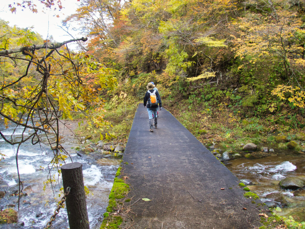
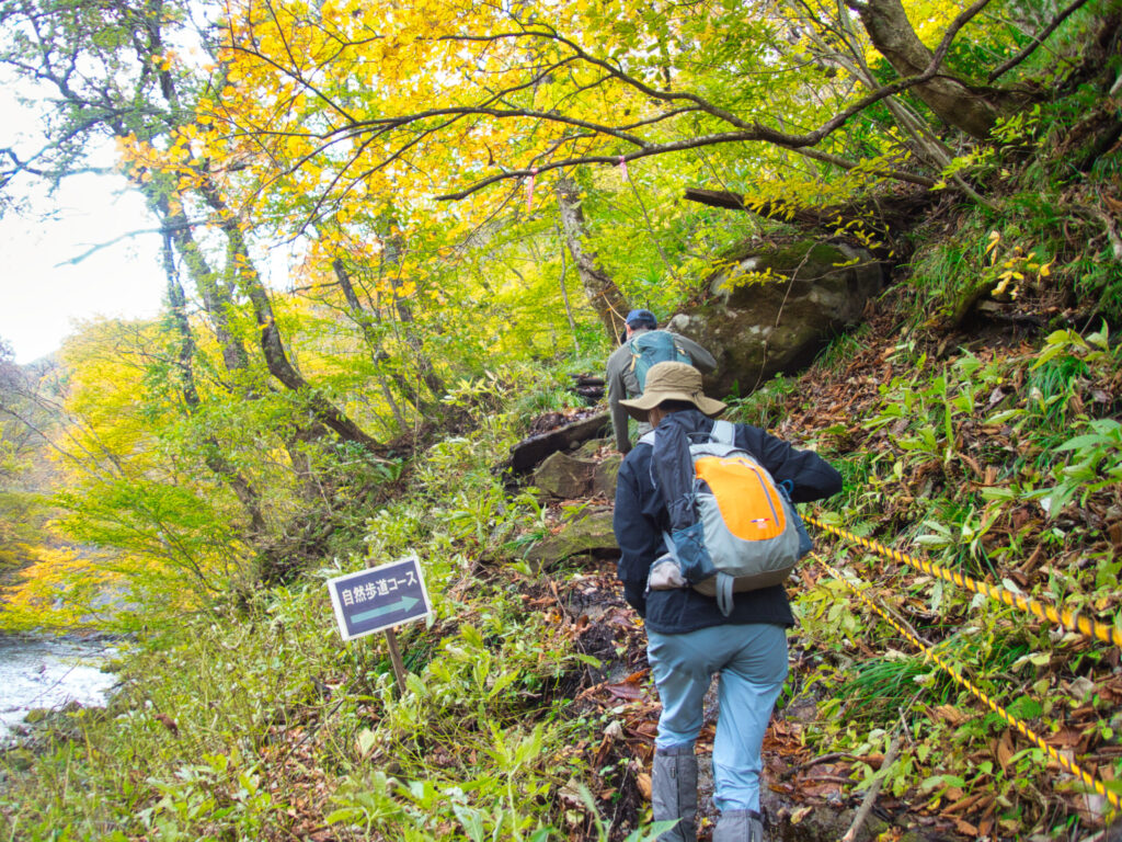
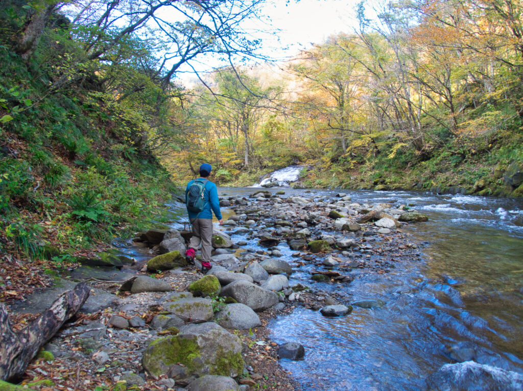
The morning cold was sharp. Each breath turned white in the frozen air. Yet the sky was high and clear — a mountain day without complaint. A tributary of the Natori River ran between trees of crimson and gold, its sound ringing in the chill. Beyond a red bridge, a “Nature Trail” sign guided us onto the mountain path.
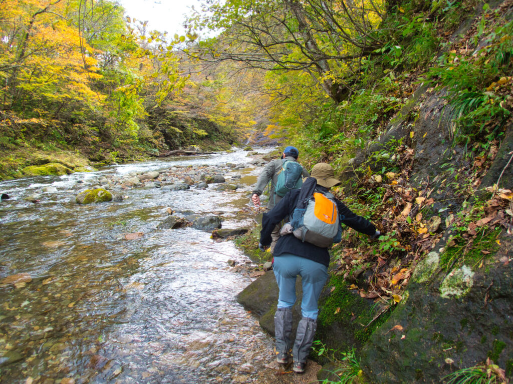
The trail followed the streambed over mossy rocks, still slick with morning dew. I picked my steps carefully — and then, within minutes, the path met the stream directly. Crossing from rock to rock, I let my guard slip for just a moment, and one foot plunged into the water up to the ankle.
The cold seized me instantly. S and Y’s laughter reached my ears as I gasped at the shock, suddenly wide awake. “At least this guarantees I’ll be careful for the rest of the day,” I told myself — a chilly lesson in the cost of a wandering mind.
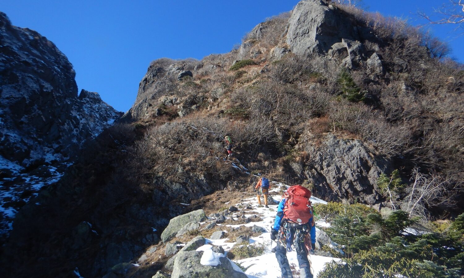
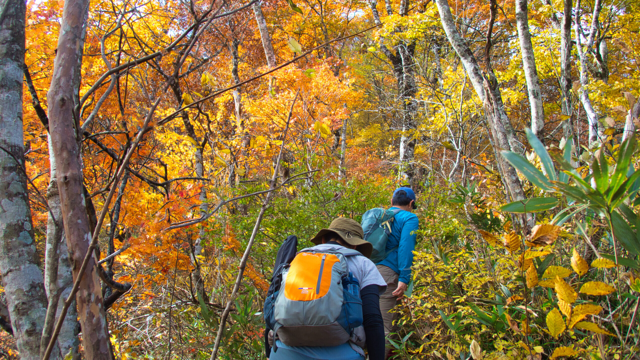
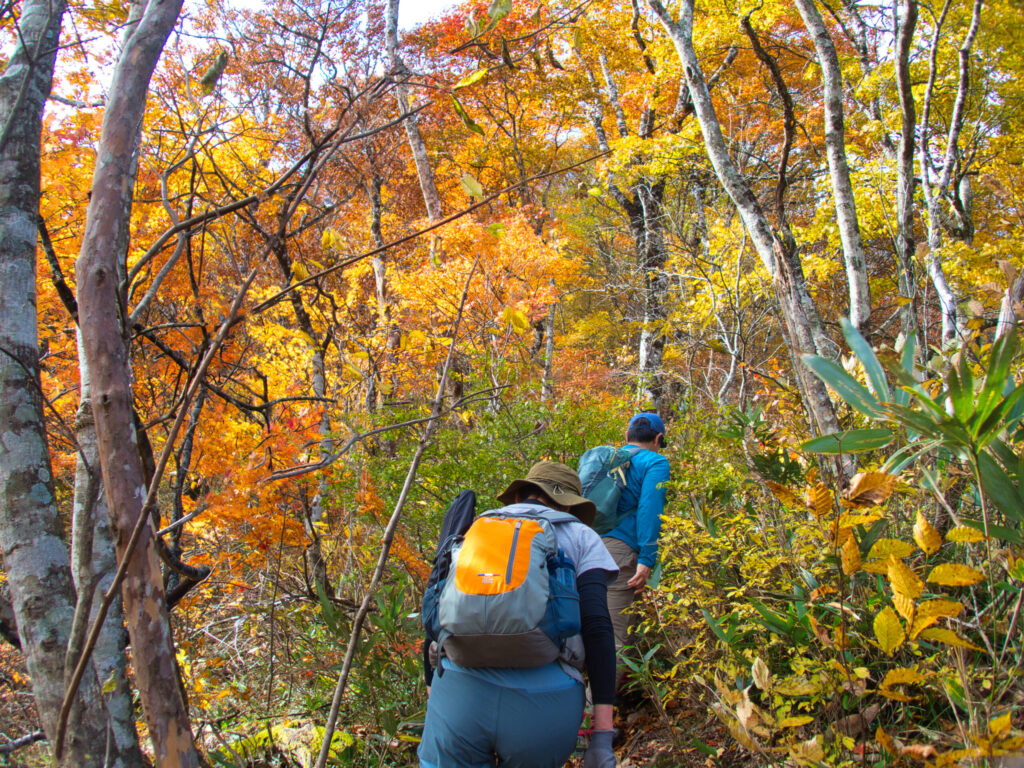
Past the stream section, the trail pitched sharply upward, a near-vertical slope fitted with fixed ropes. We chose each foothold with care, the incline bearing down on us like a test of will. Then the beech forest gave way, the slope relented — and all at once, the view burst open. The ridgeline.
From the ridge, the steep climbing was behind us. An easy path stretched ahead. Looking back, the city of Sendai spread out far below, and the Pacific horizon gleamed dully in the distance.
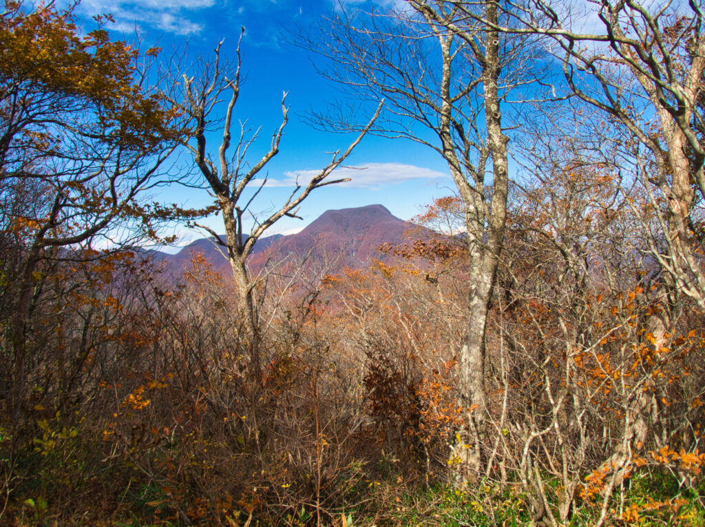
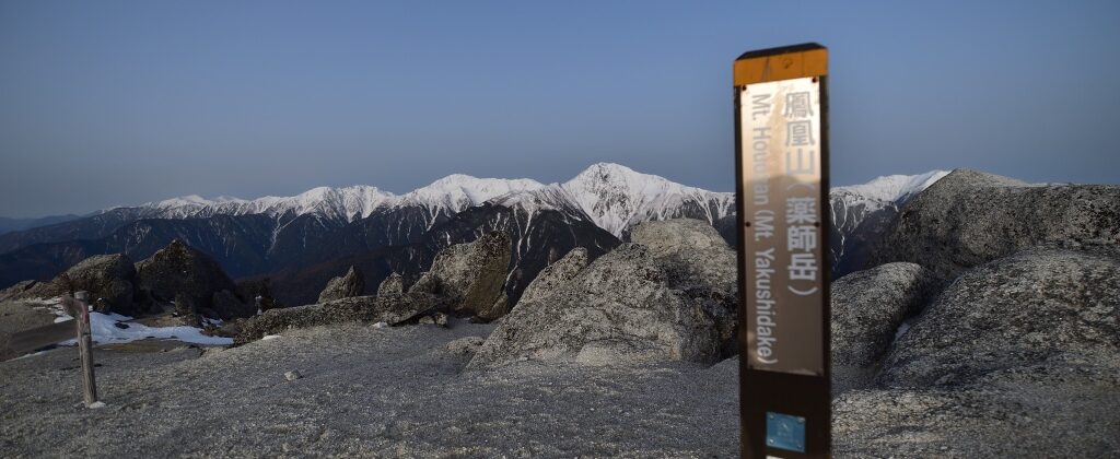
To the left, the long silhouette of Zaō. To the right, the bold mass of Daitō-dake, and beyond, the deep folds of the Ou Mountains cradling Mt. Funagata. We followed the ridgeline path as it widened and climbed toward the summit.
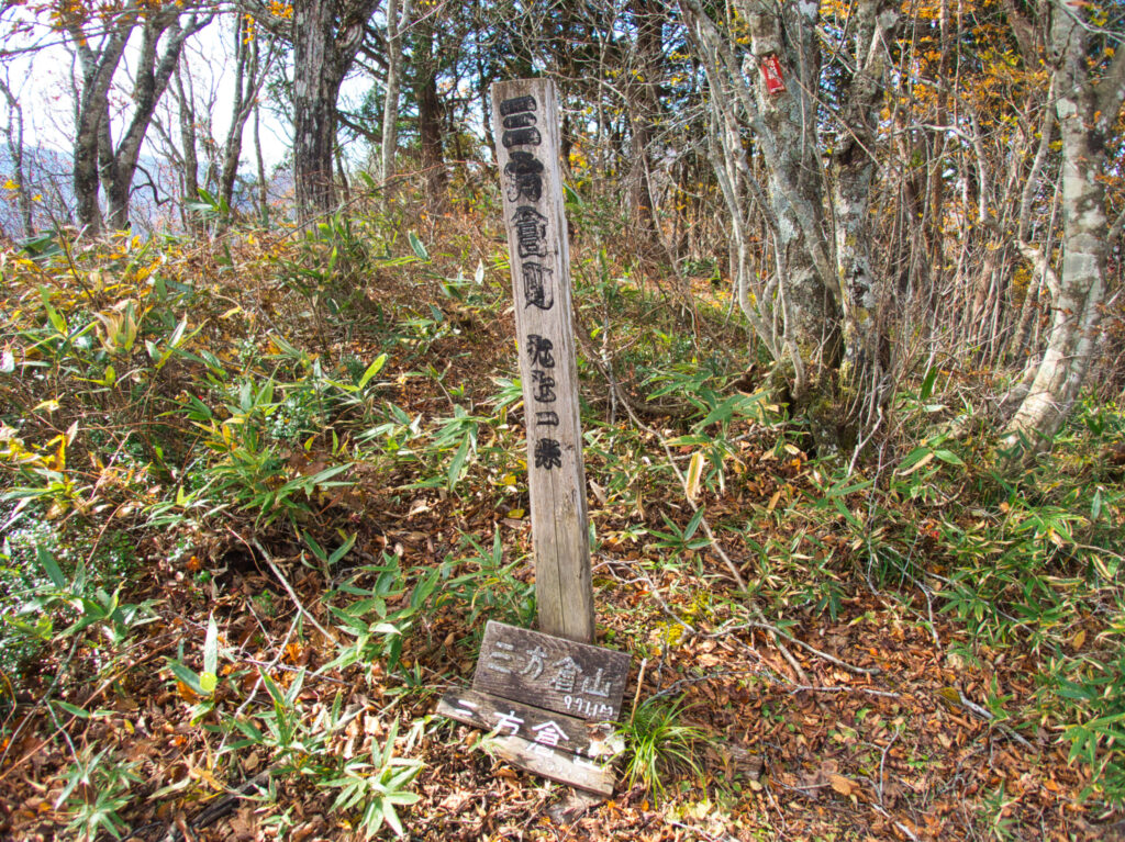
At 11:35 AM — one hour and thirty minutes from the trailhead — we reached the top. The summit itself is enclosed by beeches, but a wooden observation platform offers a full 360-degree panorama.
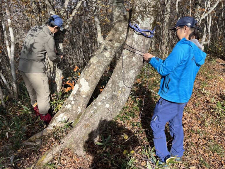
“We’ve got time before the afternoon,” S pointed out, and so we decided to put the summit to use: a short technical session. A mountaineer’s learning never stops. The three of us ran through fixed rope systems, clove hitches, and Munter hitches. A brief interlude, but it gave the outing a richer shape — hiking and craft, bound together.
After a rest, we descended by a different trail. The path was slippier going down than coming up. Recalling my morning stumble, I placed each step with deliberate care.
The beech forest dressed the descent in yellow. Light filtered through the canopy and turned the fallen leaves to gold. It was as if the mountain had laid a gilded carpet beneath our feet.
We returned to the streambed path. I passed the very spot where I had stepped into the water that morning — this time, choosing my footing across the rocks without incident.
At 2:45 PM we were back at the trailhead. Total moving time: approximately four hours and forty minutes. A low mountain, yes — but one that delivered the full character of the Futakuchi range.
At the parking area I pulled off my boots. The wet sock confirmed what I already knew. After changing, my thoughts turned toward the gathering ahead.
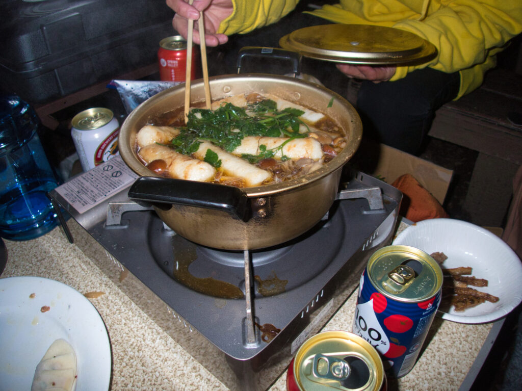
By three o’clock I had arrived at the venue. It was a gathering of the Tohoku stream climbing community — the Goru-oji. Members of the Kitakami Alpine Club, the Nishikawa Alpine Club, the Yawata Alpine Club, the Hakuho-kai, and others crowded the tables. Before us: bear stew — a rich braise of actual bear meat — kiritanpo hot pot from Akita, and raw horse. Mountain talk flowed freely through the night. An evening feast like this is simply the mountain carried on into the dark.
I thought back to Sampokura-yama — that clean, composed triangle. A small peak, but one where the soul of the Futakuchi range is concentrated whole.
[LOG SUMMARY]