【Deep Dive Chronicle】Shirane Sanzan — Following the August Ridge Line
北村 智明
稜線ディープダイブ
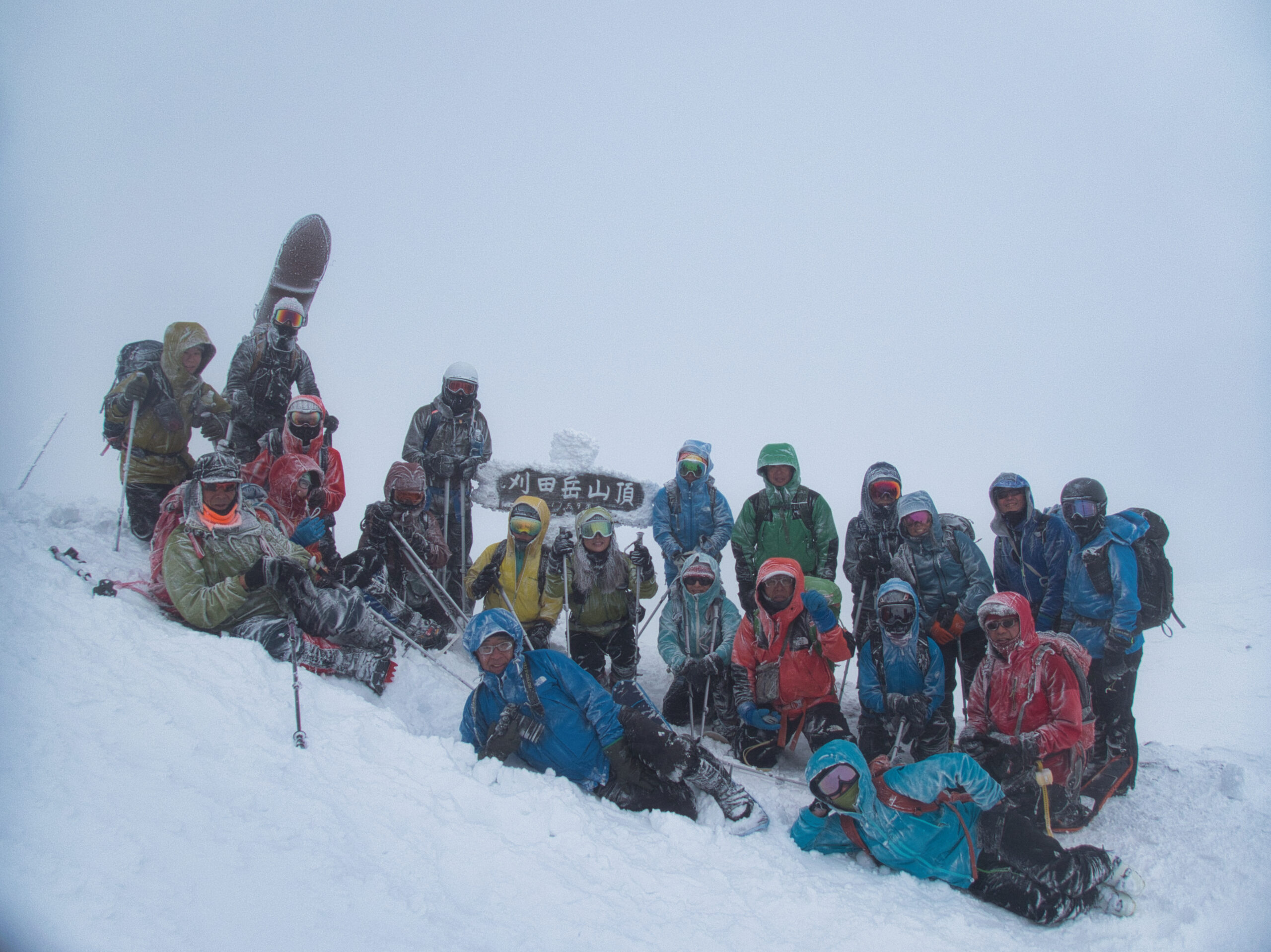
On the fourth of January, we set out on skis for Mt. Katta-dake in the Zao Range. Twenty-four of us, an unusually large party for a hatsumode (first shrine visit of the New Year), were met by a blizzard with winds above 20 meters per second and a total whiteout. Relying on GPS and radios, we advanced with great care. This is the record of one winter day in the mountains.
On the drive from Miyagi toward Zao, the sky already hung low and heavy.
Two days earlier, at Mitsumine Shrine in Chichibu, Saitama Prefecture, some 130 worshippers stranded by snow had spent the night at the shrine. Road closures caused by the snowfall had left New Year visitors unable to get home. As I listened to the news, I found myself looking at the day’s weather with fresh eyes. Zao, too, is a range that allows no complacency.
Mt. Katta-dake stands at the center of the Zao Range, at 1,758 meters. In ancient times it was known as Kattamine and Wasurezu-yama, and Kattamine Shrine sits on its summit. The shrine is paired with its Satomiya (village shrine) in Togatta Onsen at the foot of the mountain. In summer, the sacred object of worship (goshintai) is enshrined at the Okumiya (inner shrine) on the summit; in winter, it is moved down to the Satomiya, a seasonal relocation. Tradition holds that the shrine began in the Nara period, when Gangyo, uncle of En no Ozunu, invoked Zao Gongen (the mountain deity of Shugendo) from Kinpusen in Yoshino, Yamato Province. That act is said to be the origin of the name Zao itself, and the mountain has been revered as sacred ever since. Records suggest that during the Bunka and Bunsei eras of the Edo period, more than ten thousand pilgrims climbed the mountain each year.
At 7:41 AM, we gathered at Mountain Field Miyagi Zao Sumikawa: twenty-four of us in all. Ten were on foot, thirteen on backcountry skis (yama-suki), and one on a snowboard. I had never expected so many people to join a New Year hatsumode outing.
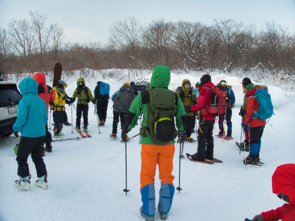
As we got ready, unease crept into my chest. The wind was already strong, and spindrift was lifting off the snow. The weather was, by any measure, not good. My hands went slightly numb in the cold as I fixed the climbing skins to my skis. Thin gloves gave way to thick ones. A midlayer went over the base layer, and the shell over that. Radios were handed out, and we confirmed what to do if anyone became separated. Safety comes first. That is the responsibility of every person who joins this trip.
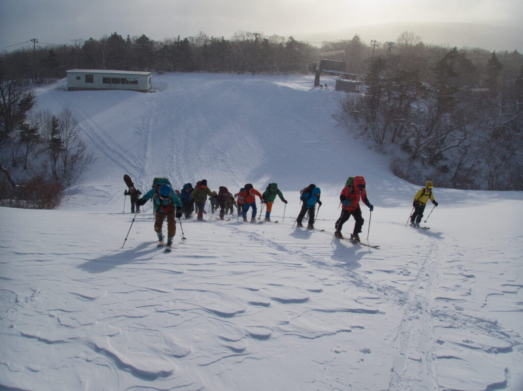
We set off just before 8:00 AM. As soon as we began climbing the resort slopes, the wind and snow gave us their greeting. Visibility was not bad yet, but I sensed that conditions would change higher up. With that thought, we gained elevation in silence, the skins biting steadily into the snow.
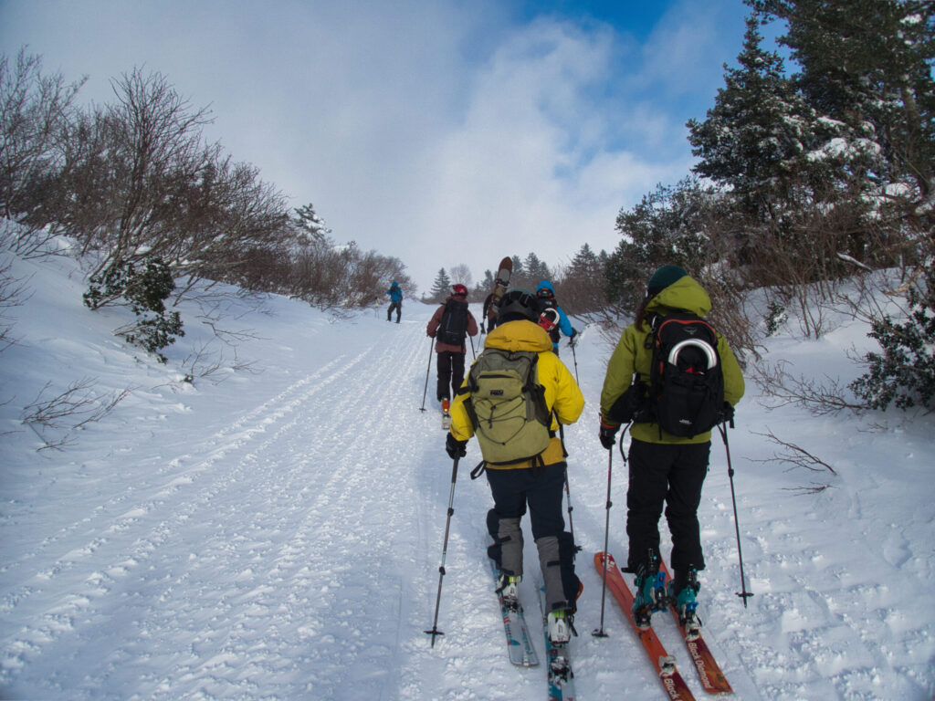
Entering the forest, the world changed. Rime ice bloomed on the conifer branches like a white flower garden. The trees blocked the wind, and here alone a stillness held. The sound of skins gripping the snow, poles sinking in, the breathing of my companions. That was all we could hear.
But the calm did not last. By the time we passed Atomi Gate and headed for Daikokuten Trailhead, the wind had grown stronger still. As the trees shrank and there was less to shelter us, the wind gained force. Sudden gusts pushed against our bodies and threatened to knock us off balance.
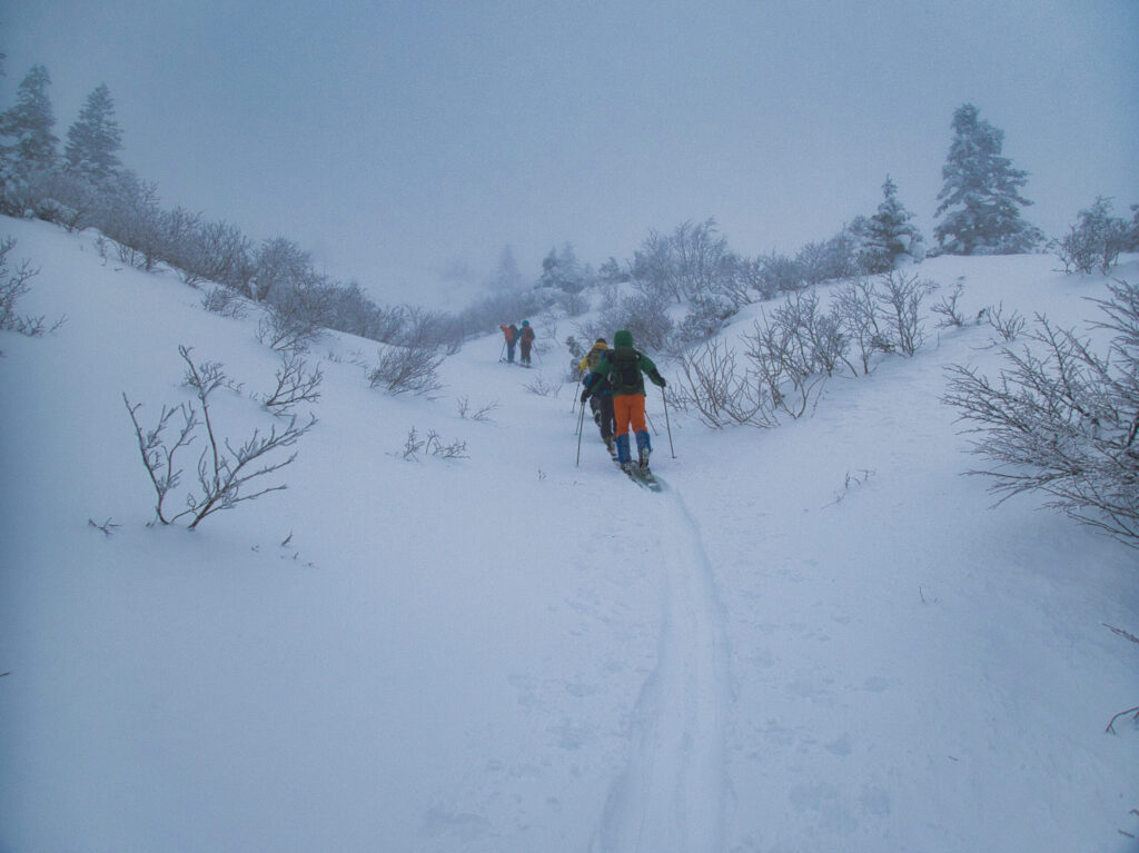
At 10:28 AM, we climbed onto the ridgeline. In that instant, the world was painted a single white.
Wind speeds exceeded 20 meters per second. Visibility was close to zero. Even the companion directly ahead vanished a few meters away. So this is a whiteout. I had experienced one before, but it was my first time facing these conditions with twenty-four people.
Part of me wanted to retreat. That feeling was undeniably there.
Snow slapped my face. My goggles fogged, and visibility worsened. I held my breath and wiped them, but they whitened again at once. Underfoot, wind-drifted snow and hard ice layers alternated, and the edges of my skis caught unpredictably. If someone fell, standing up again in this wind would not be easy.
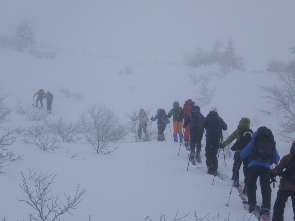
Now and then a voice came over the radio. One by one, we checked in. Until all twenty-four were confirmed safe, we could not move.
I took out the GPS. When I removed my gloves, the cold stabbed at my fingertips. The smartphone screen was wet with snow and would not respond. I wiped it on my sleeve and checked our position. We were on route. The Katta-dake Evacuation Hut was still some distance away. Visibility was poor, but the route was simple. With care, we could reach it.
The real question, though, was whether we should go on.
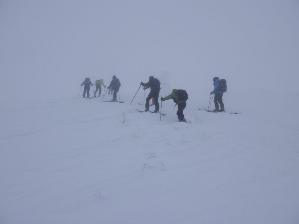
The wind showed no sign of easing. If anything, it seemed to be growing stronger. Spindrift lashed us sideways, and merely standing sapped my strength. Should we turn back here, or push on to the hut? A wrong decision could cost the lives of all twenty-four.
I looked around. Looking around meant seeing only a white wall. Still, I could read my companions’ faces. Everyone was enduring the wind and snow, waiting for the next instruction. Anxiety was surely there, but no one had given up.
We moved on through the white world. We never neglected the headcount, and we advanced one step at a time. The goal was not the summit. First, the hut.
The feel of the snow changed. Soft drifts swallowed us to the knee. The skins would not grip, and each step took twice the effort. My breath came hard and my heart rate climbed. But we could not stop. Stopping meant our bodies would cool. Keeping moving was what kept us alive.
The hut. A sigh of relief escaped me.
The hut first appeared as a dark shape floating in the wind and snow. Yet we did not go in. First, the summit. That was the purpose of the day.
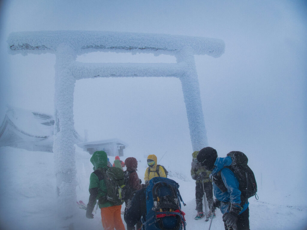
At 10:55 AM, we stood on the summit of Mt. Katta-dake.
The hall of Kattamine Shrine was completely frozen over. Layer upon layer of snow and ice covered it, and rime grown like shrimp tails (ebi no shippo) wrapped the building. In winter the sacred object is moved down to the Satomiya, so the inner shrine on the summit lay in silence. The wind remained fierce, and we could barely stand. But we had made it here, to complete our New Year hatsumode.
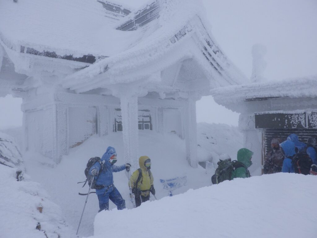
Standing before the hall, we pressed our palms together. We prayed for safe days in the mountains and for a safe year ahead. A prayer offered in a blizzard was more sincere than ever. As someone who knows the severity of the mountains firsthand, I felt my reverence for nature renewed.
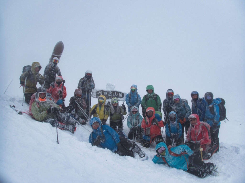
Our stay on the summit lasted just three minutes. There was no reason to linger. With no sign that visibility would recover, we headed for the hut.
At 10:58 AM, we arrived at the Katta-dake Evacuation Hut. Inside, the uproar outside fell away as if it had never been. The wind was completely blocked, and the space was surprisingly comfortable. We rested our chilled bodies and sipped warm drinks. That brief pause gave my mind room to breathe again.
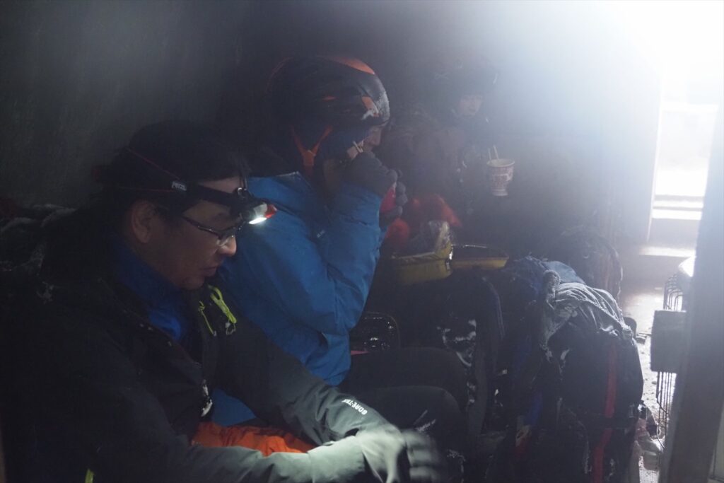
Together we checked the descent route and shared cautions. Accidents are more likely on the way down than on the way up. In this visibility especially, leaving the route could put us in real danger of getting lost.
At 12:20 PM, we left the hut.
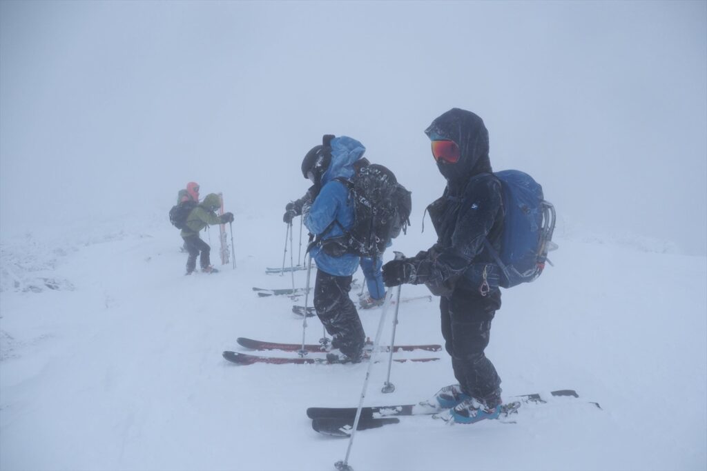
We descended with care. Visibility remained poor, and rather than gliding, we lowered ourselves in cautious snowplow turns (bōgen). Unable to see the bumps and dips in the surface, we were startled again and again by unexpected drops. But as we lost elevation, the wind eased and visibility gradually opened.
Back at Daikokuten Trailhead, visibility improved dramatically. The forest was gentle, as if the ridge’s savagery had been a lie. Here at last we could enjoy letting our skis run. Carving tracks into the snow, I looked back over the day.
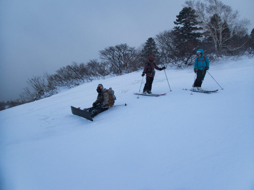
There had been moments when I considered retreat. But through careful judgment and everyone’s cooperation, we achieved our goal. Precisely because we were twenty-four, each person’s safety awareness mattered.
Leaving the forest, we slid onto the resort slopes. The exhilaration of dropping down the open slope in one run coursed through my body. This sense of release after enduring wind and snow is the true delight of winter mountains.
At 1:32 PM, we returned to Mountain Field Miyagi Zao Sumikawa.
Total activity time was 5 hours 51 minutes, and the distance was 12.5 kilometers. Through the blizzard and whiteout, all twenty-four of us made it down safely. That was the greatest result of all.
After packing away our gear, we headed for ZAO BOO in Togatta Onsen. It is a hamburger shop committed to local Zao Town ingredients, known for burgers made with mochi-buta pork and Zao beef. A meal after coming down from the mountains is something special.
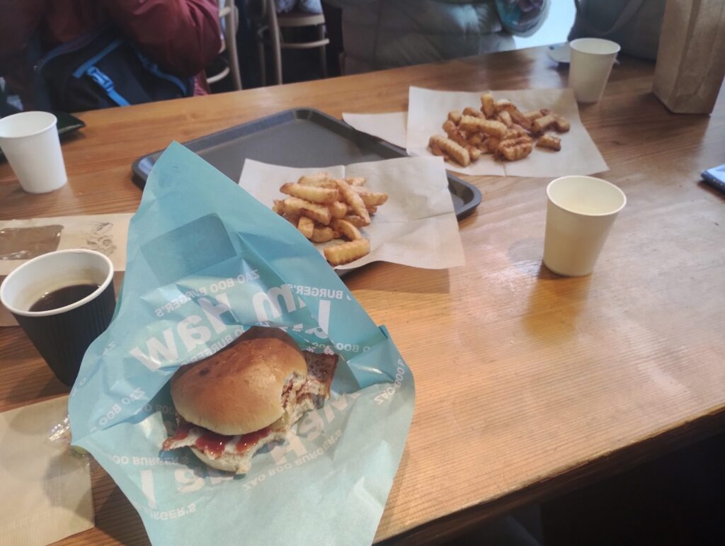
The interior had a bright Hawaiian feel, somehow evoking the tropics. For bodies chilled by a Zao winter, the warmth was welcome. I ordered the BOO Cheeseburger, a hearty burger with a mochi-buta pork patty and melted cheese. As I bit into it, I thought back over the day: the tension of the blizzard, the frozen shrine, and the bond with my companions. The conversation flowed naturally.
Winter in Zao is harsh. Yet within that harshness lies the essence of the mountains. This New Year hatsumode became a day on which my respect for the mountains was renewed.
LOG SUMMARY
ZAOBOO | Official site of a hamburger shop in Zao Town
【Notes on Using GPS Data】
The GPS data published in this article is simply a record of the day. Please keep the following in mind.
Note: This article contains affiliate links. If you make a purchase through these links, this site receives a referral fee, at no additional cost to you. The content of this article is based on actual use experience.