【Deep Dive Chronicle】Suganedake: Suginomorisawa Hidarimata — An Autumn Stream Born from Change of Plans
北村 智明
稜線ディープダイブ
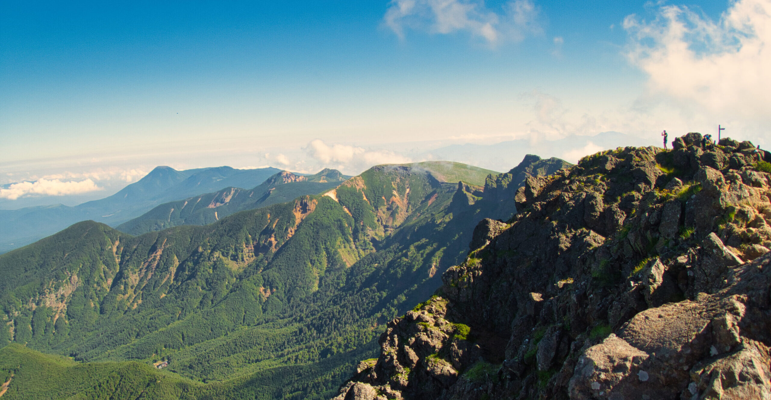
In late August, we entered Nanatakisawa, approaching Mt. Niojidake—an outlying peak of the Iide Range. Under merciless sunlight, we ascended a stream littered with massive boulders. Our two-day expedition would challenge us beyond the so-called “Seven Falls”—a five-tiered, 100-meter waterfall chain—culminating in an even more imposing seven-tiered, 130-meter cascade. This is a chronicle of late summer stream climbing, recorded as both a climber and a lover of mountain streams, testing the limits of physical endurance.
目次
Our original plan had fallen through, forcing an impromptu pivot to Nanatakisawa. The expedition began inauspiciously—I’d forgotten the tent for our pre-climb night. Perhaps this oversight foreshadowed the frayed edges that would characterize the entire climb. After sleeping rough and in the car, we woke at five in the morning.
At 6:30 AM, we departed from the Sugitakiiwa parking area at Uchinoura Dam. The forest road started comfortably but later became overgrown with vegetation. Fortunately, eye gnats were absent. Together with S, W, and O, we walked forward, breathing in the cool morning air.
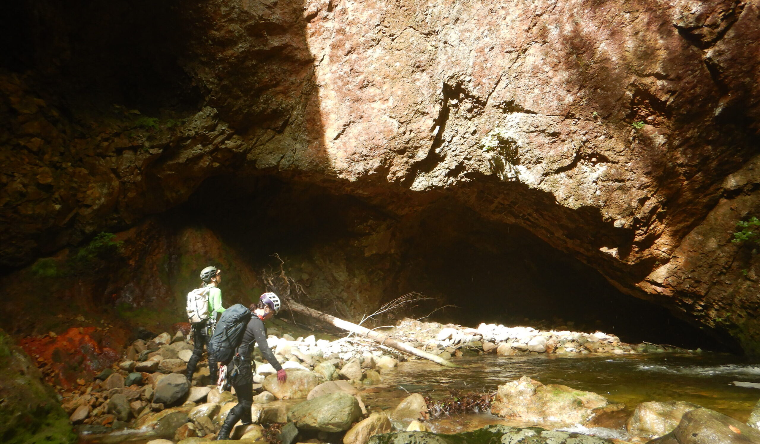
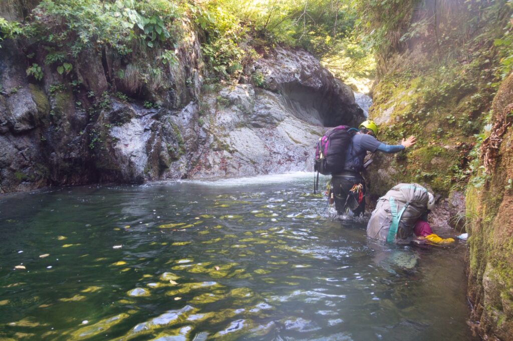
A clear trail leads to the Nanatakisawa confluence. The water level was somewhat low, the temperature lukewarm—warm enough to worry about the fish. We pushed up through a boulder field (gōro) where massive rocks lay heaped upon one another. Soon, a waterfall with a deep pool appeared. The depth forced us to swim through sections where we couldn’t touch bottom.
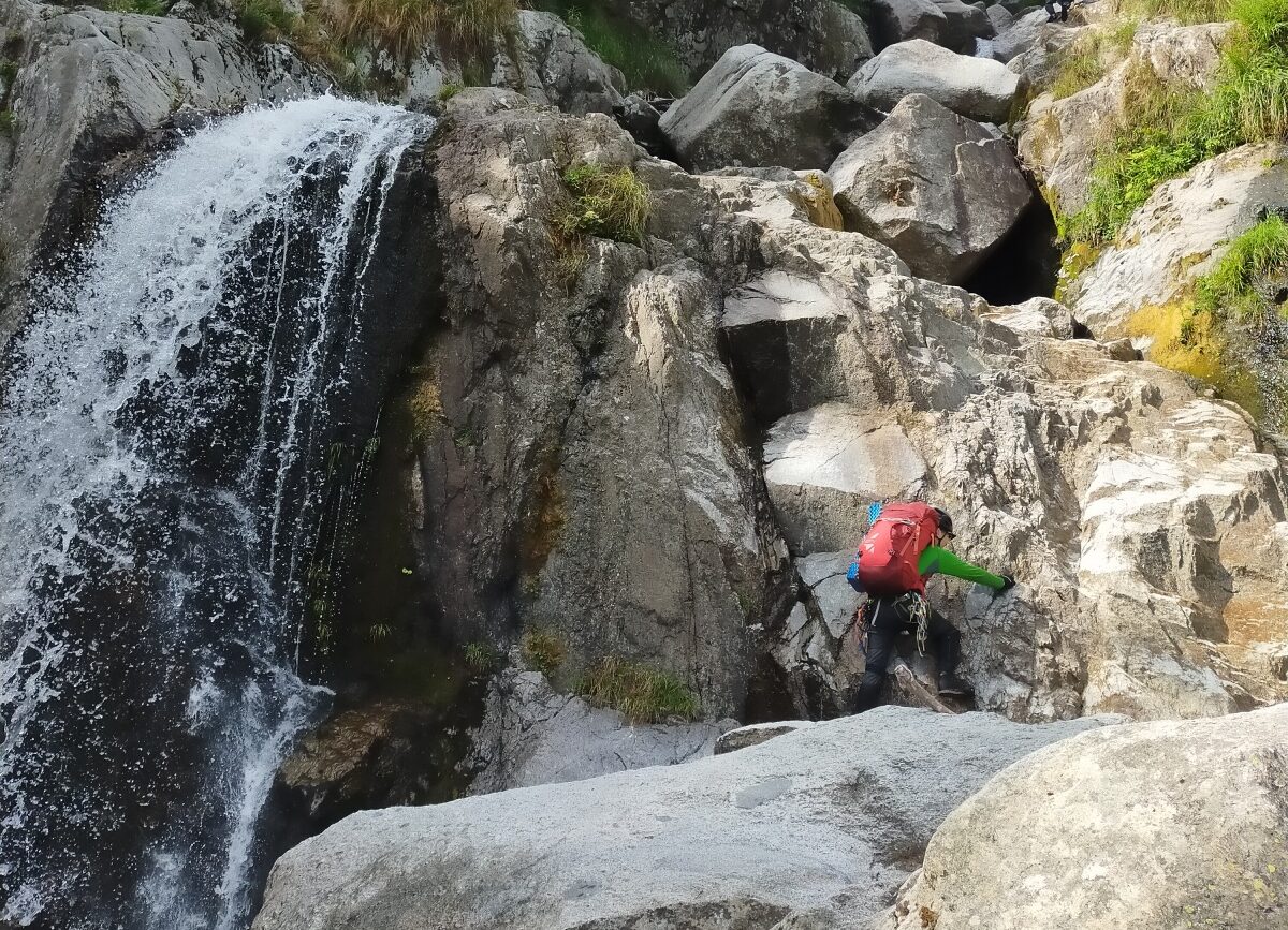
A two-tiered, five-meter smooth slab waterfall stopped us—the second tier proved impossible even using a shoulder belay technique (one climber standing on another’s shoulders). We bypassed a 10-meter waterfall along the right bank. The two-tiered, eight-meter fall we climbed directly up the right wall. The rock was solid and not particularly difficult.
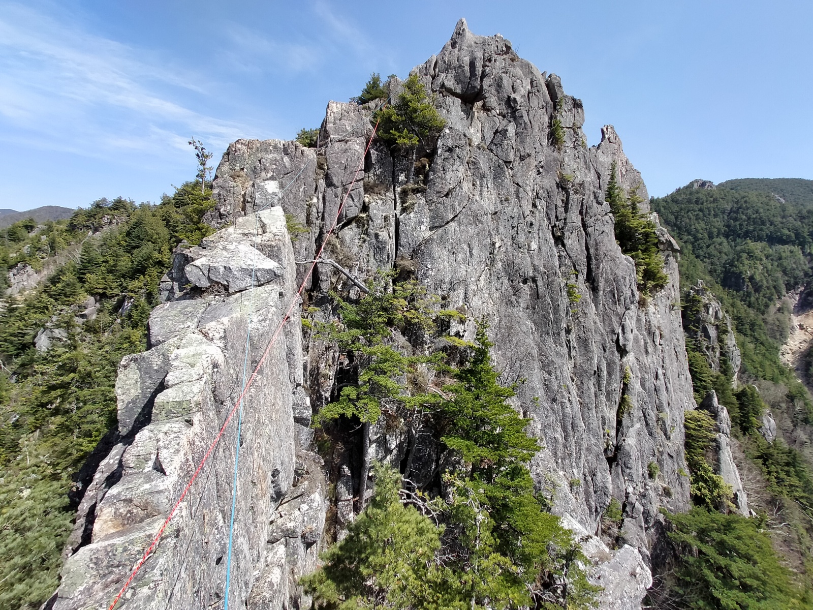
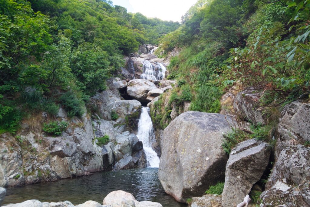
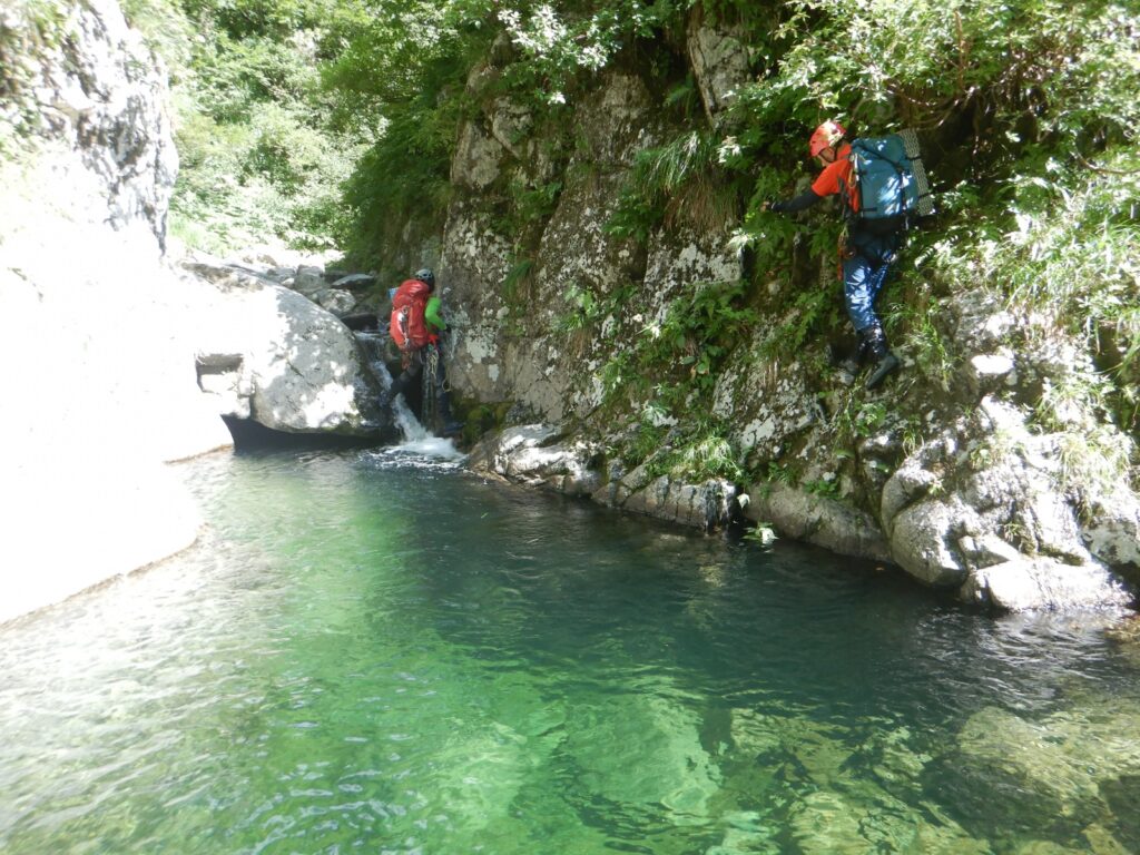
Eventually, the so-called “Seven Falls”—a five-tiered, 100-meter waterfall chain—came into view. The standard route involves a high bypass along the left bank, but we chose direct ascent. We approached the first tier from the right side, roped up for the second tier on the right wall, then bypassed the third through fifth tiers along the right bank.
After the fifth tier, waterfalls threaded between giant boulders—three meters, seven meters, eight meters, fifteen meters, six meters in succession. All were easily cleared. Around this point, frogs became conspicuous, and with them, an increasing number of snakes preying on them. Eye gnats pestered us relentlessly.
The afternoon sun beat down mercilessly from overhead.
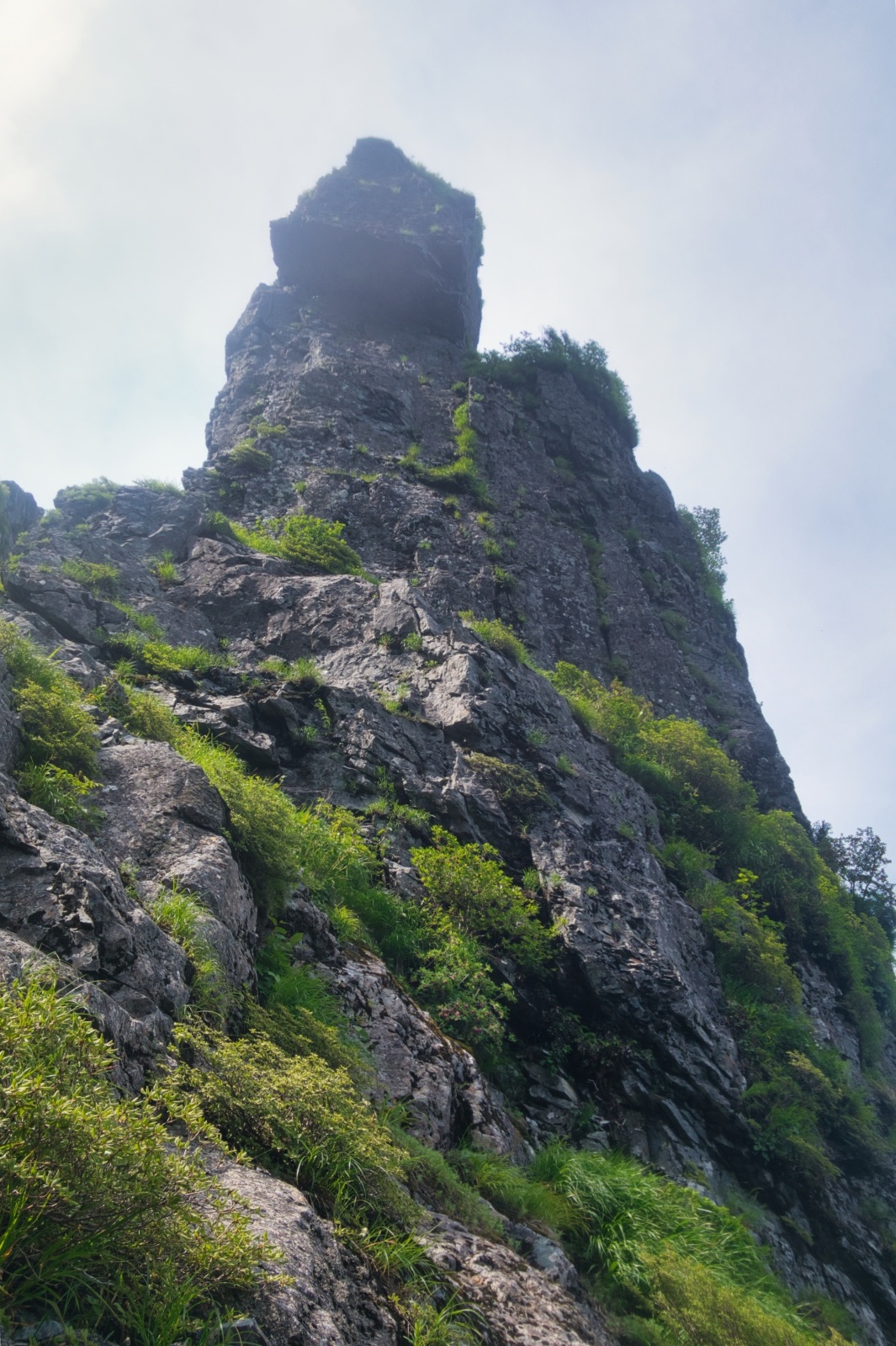
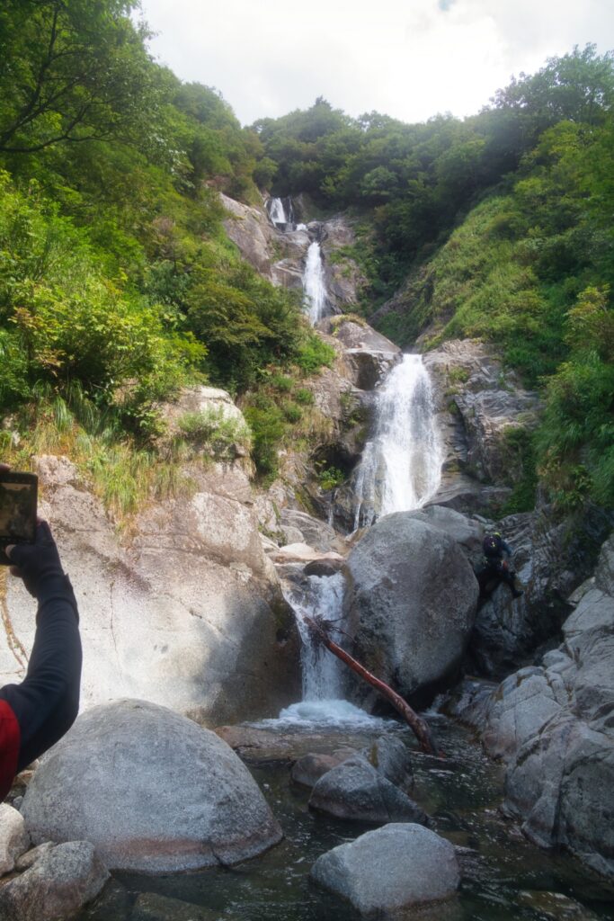
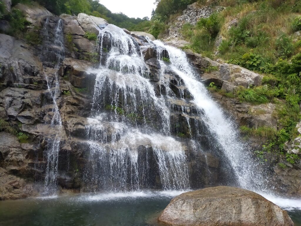
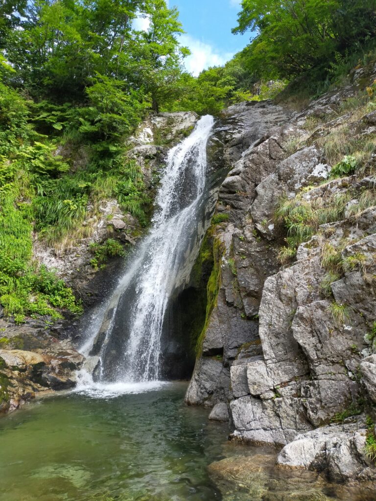
And then it appeared—the seven-tiered, 130-meter cascade. One might ironically suggest this is the true “Seven Falls.” Yet the name differs.
We decided to climb all tiers except the third. The rock quality deteriorated mid-section on the third tier, forcing us to abandon the attempt. Afterward, we passed an indistinct four-tiered, 60-meter waterfall sequence, then reached a 20-meter fall with an expansive pool.
By this point, my body was approaching its limit. Was this the onset of heat stroke? A headache began. We attempted the 20-meter waterfall from about five meters upstream, but the scree-covered steep slope lacked any vegetation—terrifyingly poor terrain. The route-finding was a gamble, something I deeply regretted afterward. Properly, we should have taken a high bypass far upstream of the pool, climbing over the rock wall from a gully.
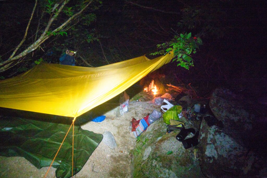
After completing the bypass, the stream character mellowed. Around 824 meters elevation, we found a promising sandy area on the right bank and decided to bivouac.
I tried fishing for about fifteen minutes. Fish were plentiful but small—only one 12-centimeter iwana (Japanese char) took the hook. We released it. The constant harassment by eye gnats was irritating.
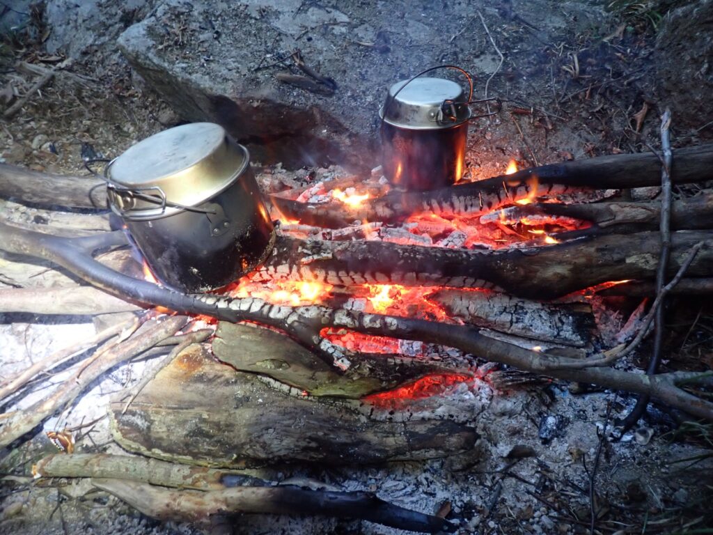
Firewood was abundant. Dinner was curry. We drank beer and fell asleep early. My body still burning with heat, I descended into the darkness at the bottom of the valley.
We woke at 4:30 AM. While my companions still slept, I rekindled the fire from the embers. Breakfast was ramen. We departed at 6:30 AM.
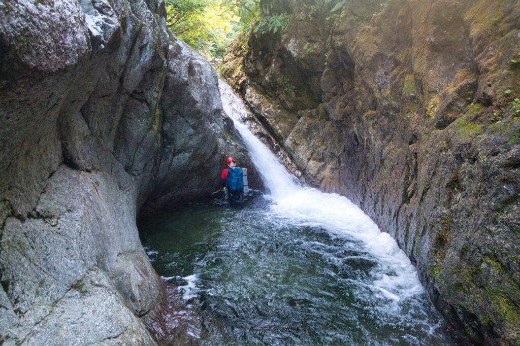
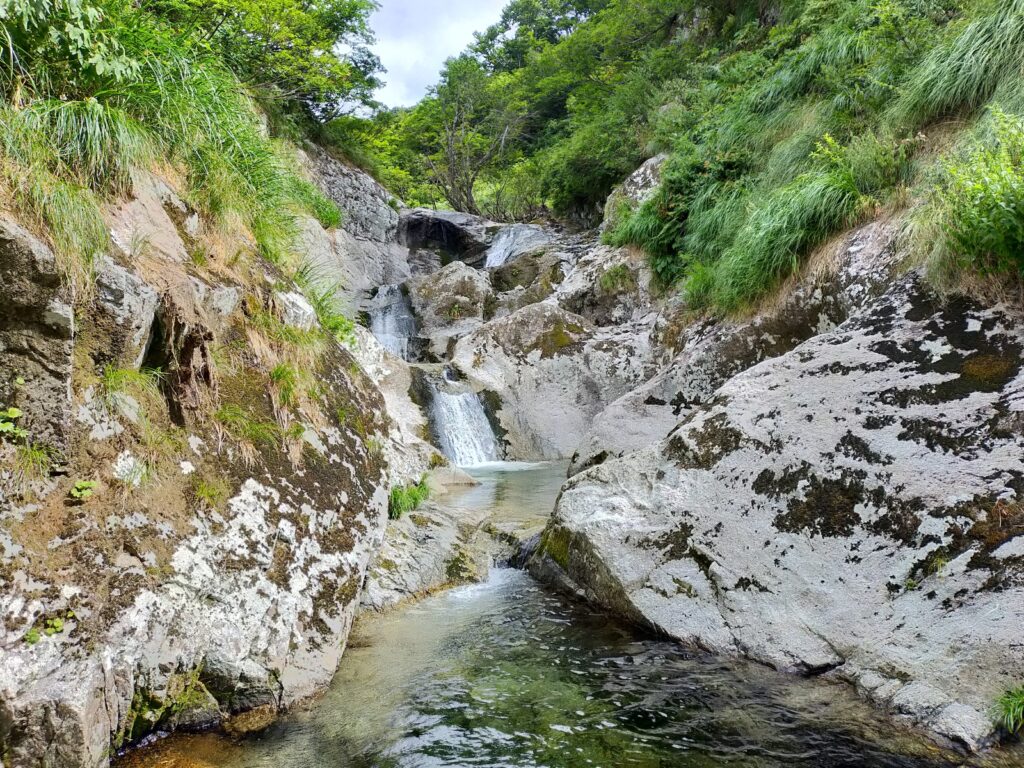
After crossing a flat boulder field, we entered a small gorge. We bypassed a small chockstone waterfall along the left bank. Leek-like weeds had taken root in the rock face, providing surprisingly reliable handholds. Slings hung from shrubs, making a rappel possible, but we climbed down using the bushes.
After passing several small waterfalls, we comfortably climbed the 17-meter fall up stair-like steps on the right wall. We roped up due to the height, though it might not have been necessary.
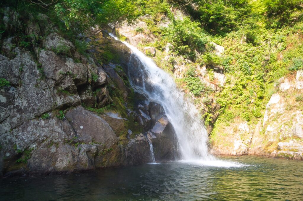
The Three Pools waterfall was beautifully white. We took the first tier up the left wall, traversed the pool, then climbed the second and third tiers on the right wall. The subsequent gorge-like small waterfall with dangling slings could be passed dry by traversing along the right wall.
At a confluence, water volume decreased as we passed small falls, until eventually the stream ran dry. Following the dry streambed, we encountered man-made structures and an irrigation channel. From there, water returned, and we gained elevation through more small waterfalls.
No particularly difficult waterfalls, but vegetation encroached annoyingly. Even after the water dried up, we continued up the streambed. The finishing section involved troublesome bush management—though one stream climbing guide claimed “no bushwhacking,” I would hardly call this nothing. It took ten to fifteen minutes to reach the hiking trail.
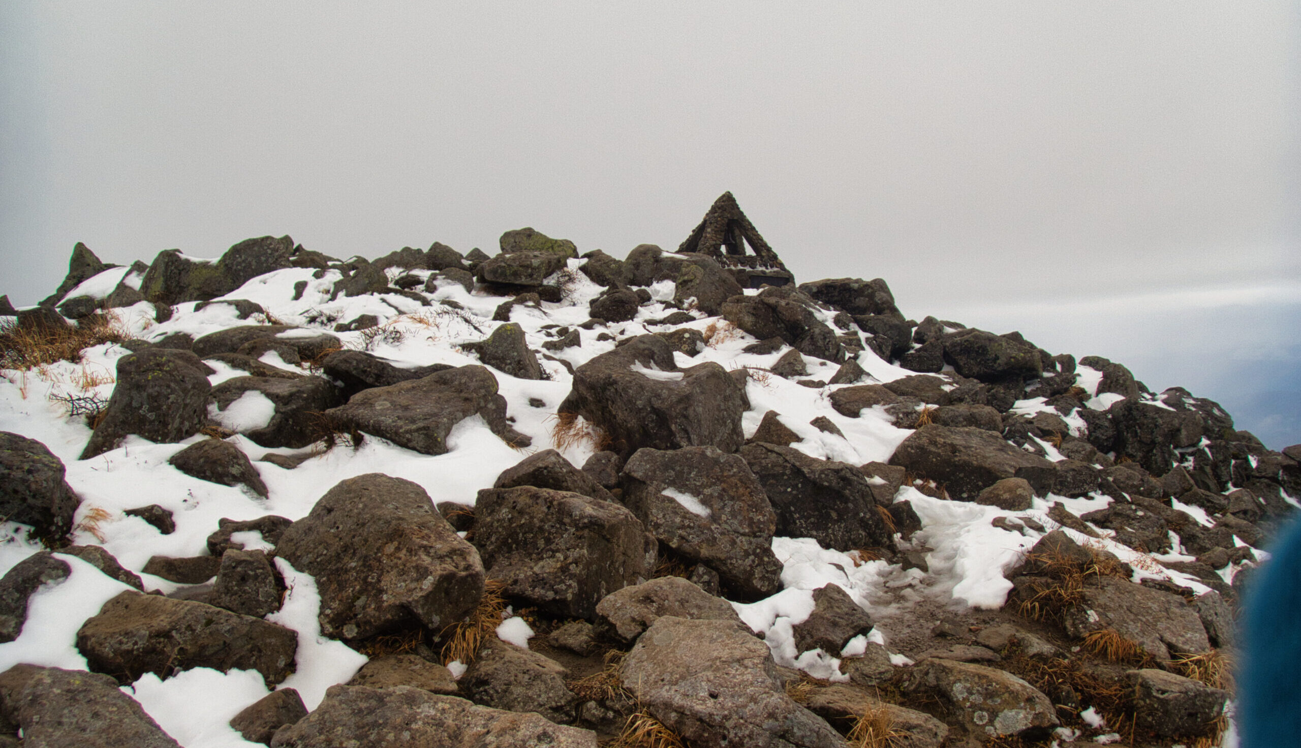
We took lunch at the summit before descending. The heat persisted, and the long descent taxed the body. We quenched our thirst at the mountain hut’s water source. The spring water was cold—reviving.
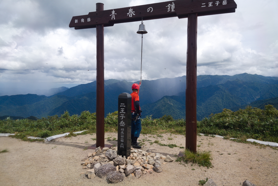
From the shrine, we crossed the forest road and reached the hikers’ parking lot—goal.
This was a climbing-intensive stream with many bypasses and steep traverses—arm-strength obstacles to be overcome through sheer force. An endurance battle dominated by endless waterfalls and massive boulder zones. The falls are dynamic and impressive, but honestly, it may not be my preference. Still, this is the type of stream that must be tackled before age makes it prohibitive.
During one gap climb, a foothold collapsed and I fell two to three meters. My ribs hurt. Later, at the hospital, X-rays and examination revealed fractured ribs.
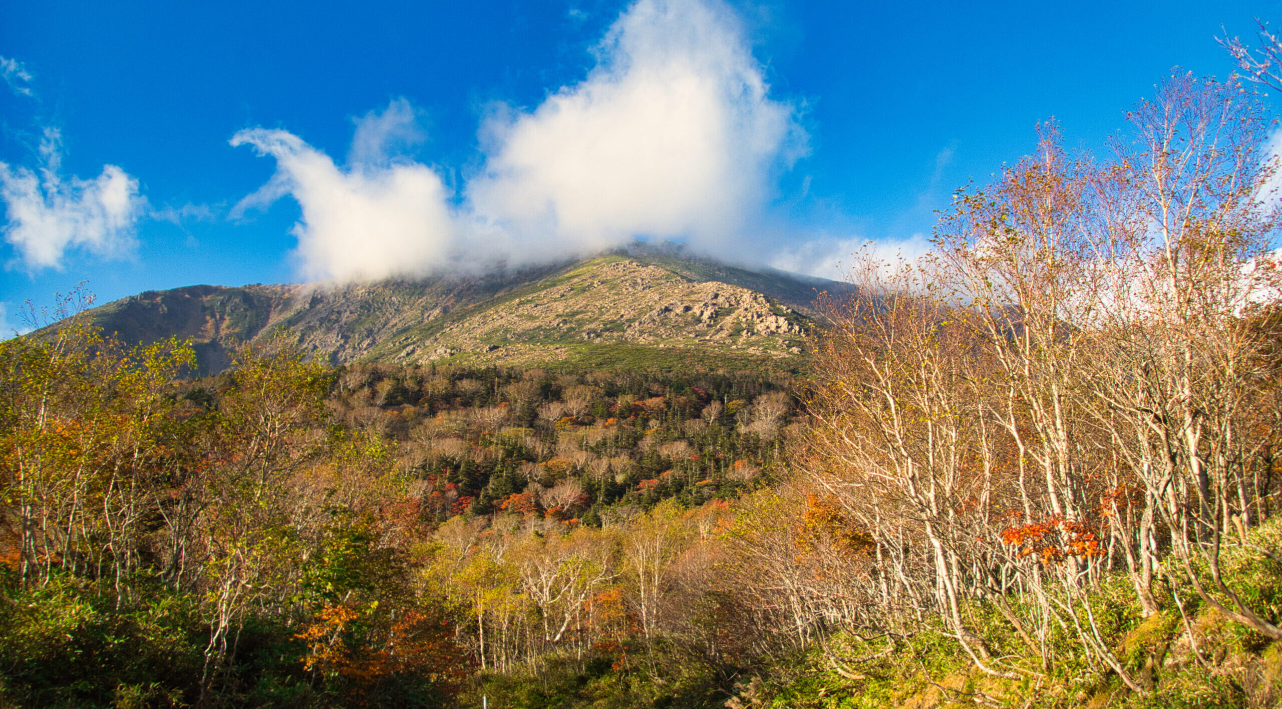
Giant boulders and waterfalls typical of the Iide Range, under merciless summer sun. A physically demanding two days—but perhaps this too is part of the appeal of stream climbing.
[LOG SUMMARY]