【Deep Dive Chronicle】Central Buttress of Ichinokura-sawa: A Day After the Exam, Onto the Wall
北村 智明
稜線ディープダイブ
In June, I headed to the Ishikorobi-Daisekkei (large snowfield) in the Iide Mountain Range, a renowned peak in the Tohoku region. With mountain huts closed due to the COVID-19 pandemic, I opted for a day trip snowfield ascent. Struggling to match the brisk cadence of my senior partner, T, I was captivated by the contrast between the white snowfield and the graceful ridgeline. This is a record of a fulfilling day enjoying the late-spring snow season on Iide.
目次
We departed from Miyagi Prefecture the previous evening. The world was enveloped in a mood of self-restraint due to the spread of COVID-19. Mountain huts had been forced to close across the board, and Iide’s huts were no exception. Yet the mountains remained unchanged. Under the condition of a day trip, we headed for Iide.
We arrived at the parking area above Iide Sanso at just past 4:00 AM. The Iide Mountain Range, with its main peak Mt. Iide at 2,105 meters elevation, is a heavy-snow mountain region spanning three prefectures: Yamagata, Niigata, and Fukushima. Listed among Japan’s 100 Famous Mountains, this peak is known for its solid mountain form and abundant nature, as Kyuya Fukada described it as “the great peak of Tohoku.”
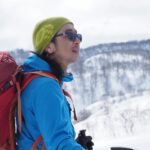
Watching my senior T prepare his gear, I checked my crampons and ice axe. The Ishikorobi-Daisekkei is Iide’s representative snowfield route, and by June, the snow has consolidated into an ideal state for ascent. But complacency is forbidden. It’s also a route with frequent rockfall.
At 4:25 AM, we began walking with headlamps lighting our way. The forest road to Nukumi-daira is long. In the darkness, the two of us silently advanced.
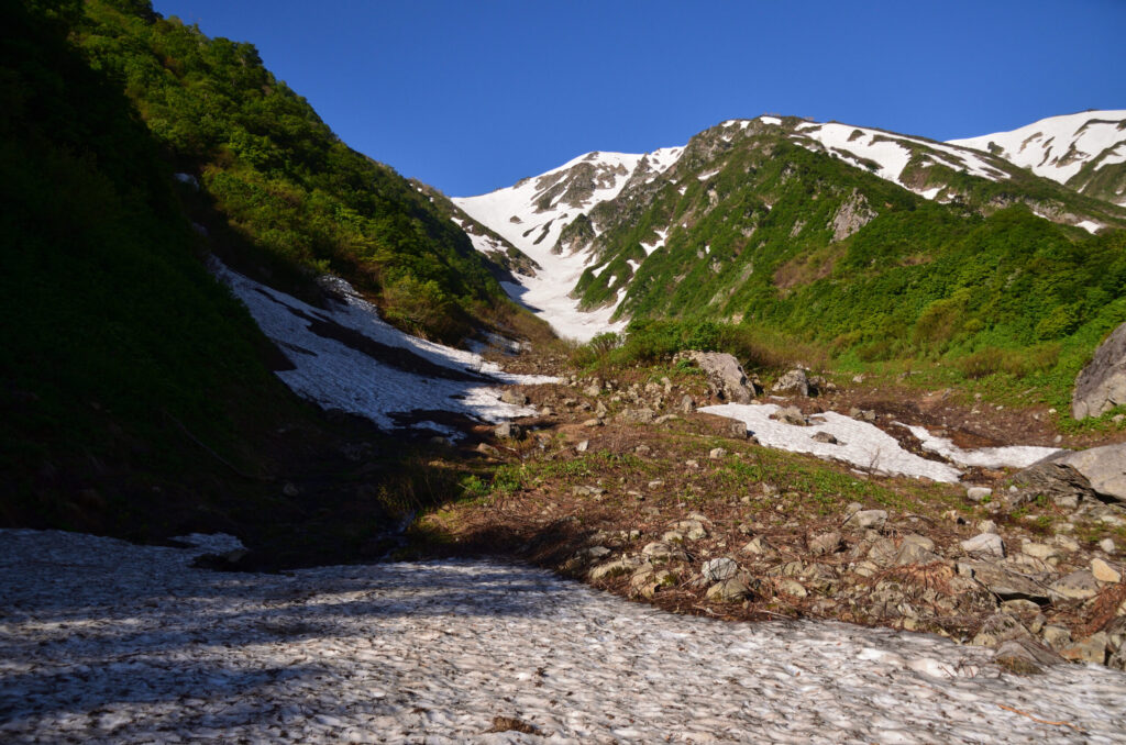
We arrived at Nukumi-daira at 4:43 AM. After warming up on the short forest road walk, the serious climbing began from here.
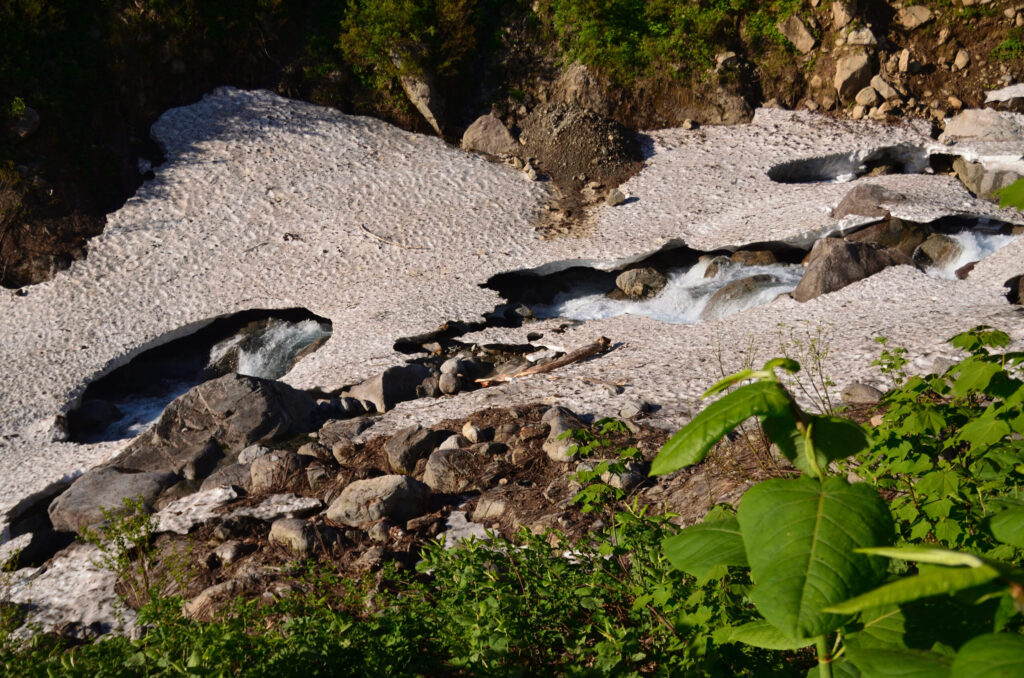
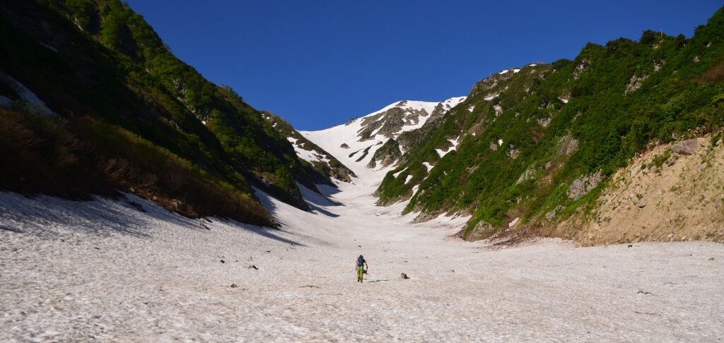
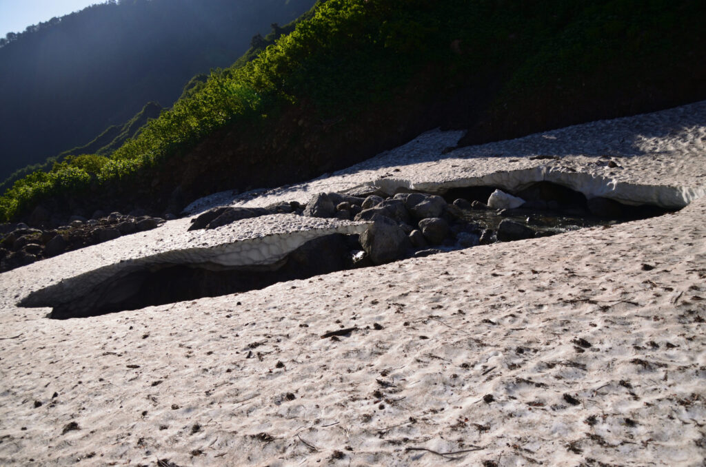
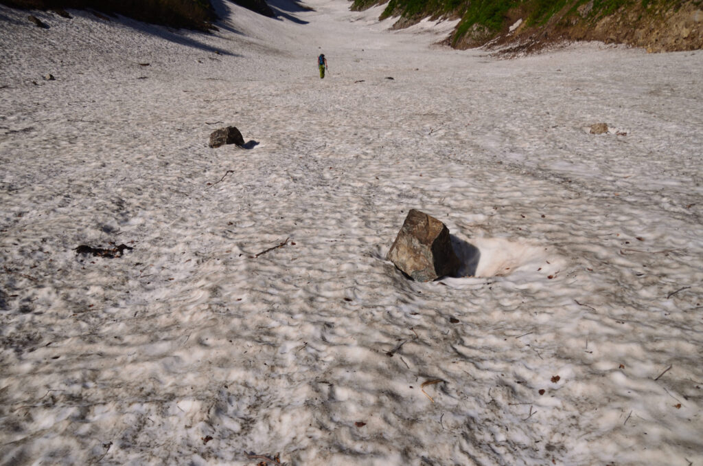
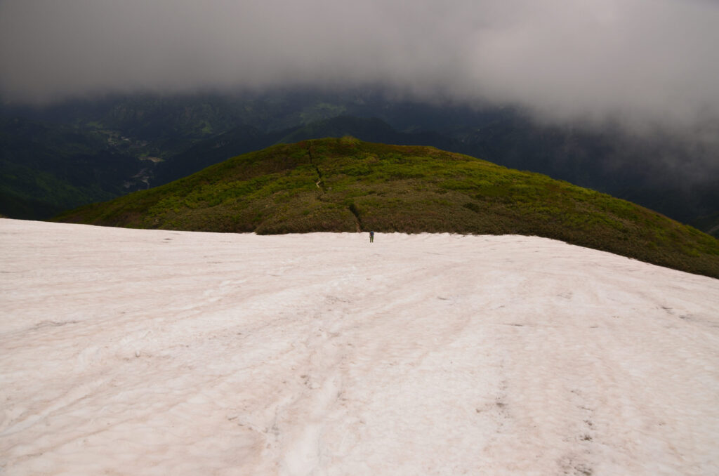
We proceeded toward the entrance to Ishikorobi-zawa. The snowfield spreading before us showed significant exposure in the lower section, but the upper section displayed a stable white slope. However, snowmelt had progressed in the lower section, and holes opened in the snow were visible underfoot. We carefully selected our path across the snow surface to avoid falling into these traps. The snow surface sparkled brilliantly under the June sunlight.
We attached our crampons and took up our ice axes. The hardness of the snow was just right. There seemed to be no concern about crevasses.
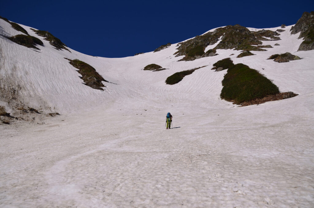
I noticed immediately after starting the ascent: T’s pace was fast. I desperately tried to keep up. The snowfield appeared monotonous, yet had subtle changes in gradient. Planting the pick of my ice axe and ensuring the crampon points bit securely, I gained elevation step by step.
I unconsciously found myself calculating: my own pace, the distance to T, and the risk of rockfall. The sound of rockfall occasionally echoed. We ascended silently, carefully determining our route.
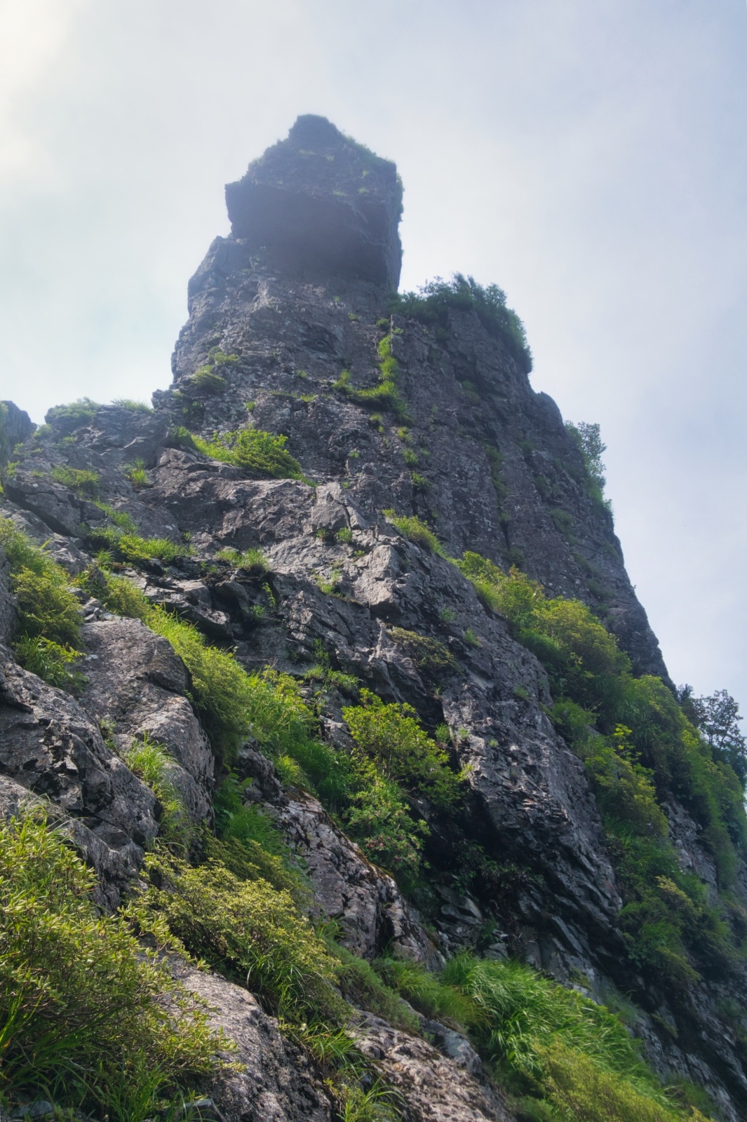
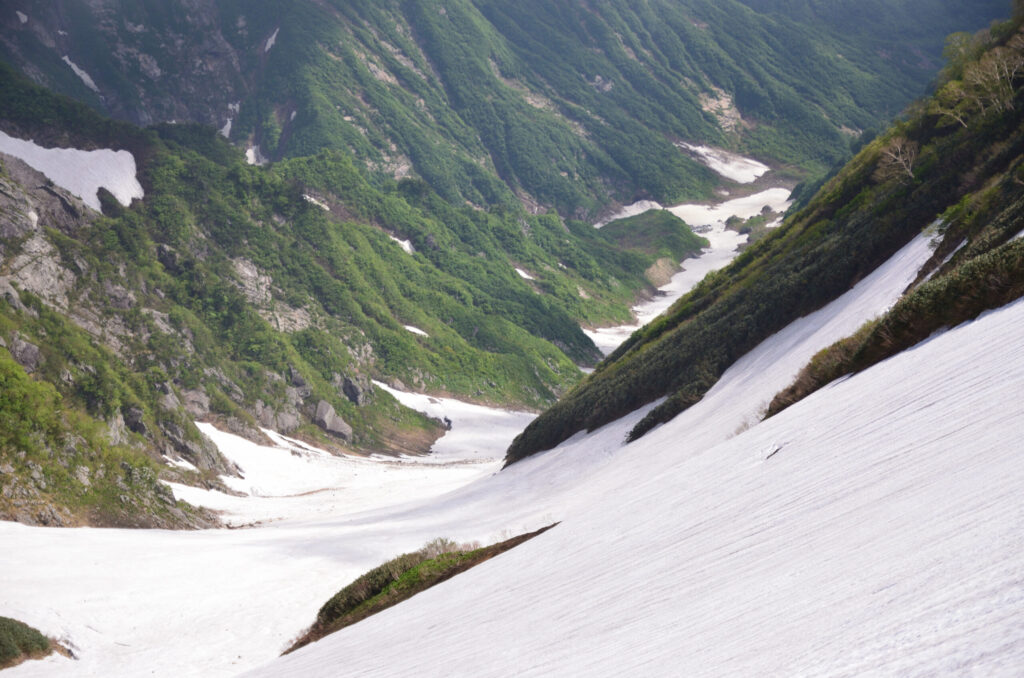
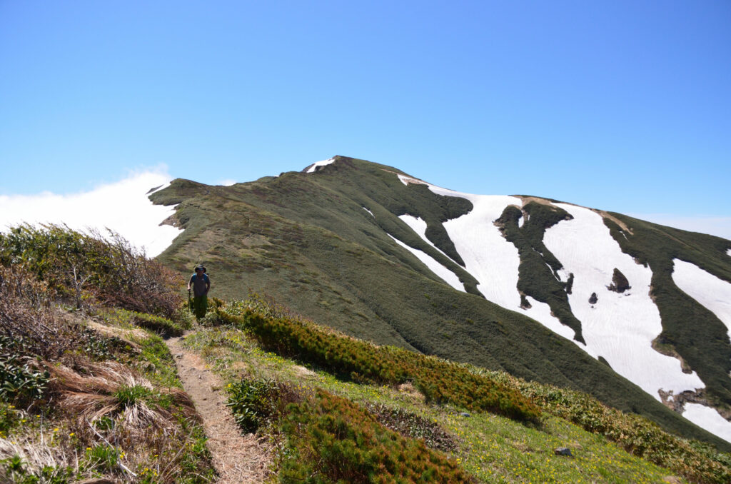
Eventually we reached the upper section of the snowfield. If we drifted too far right, we risked wandering into Monnai-zawa. Glancing back, the Iide mountain range spreading below was beautiful. The white of remaining snow, the green of new leaves, and the gray of rock faces—early summer Iide was filled with color contrasts.
T stopped. As I caught my breath, I gazed at the scenery. The gentle curve of the snowfield and the smooth undulations of the ridgeline created this vista. The gentleness within the severity might be the essence of the mountain called Iide.
After completing the snowfield climb, at 8:12 AM, Kairagi Hut came into view. Before the hut’s opening, there was no sign of people. We took about a 20-minute rest at the hut, then continued on the path leading to the ridgeline.
We arrived at Kitamata-dake at 8:50 AM. As if releasing the tension of the snowfield ascent, the main ridgeline opened into a tranquil different world. This ridgeline walk continuing from Kairagi Hut is Iide’s true essence. Through Monnai-dake and Jigami-yama, we traced that graceful ridgeline with exhilarated steps.
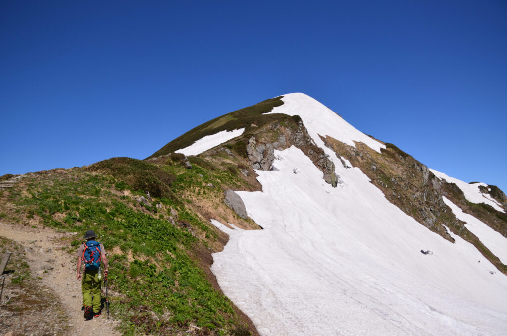
Standing on the ridgeline, the wind was pleasant. The temperature was just right, cooling our sweaty bodies. T continued ahead at his characteristically brisk pace. I was doing all I could just to keep up. Yet strangely, it wasn’t painful. Rather, there was a sense of fulfillment in challenging my own limits.
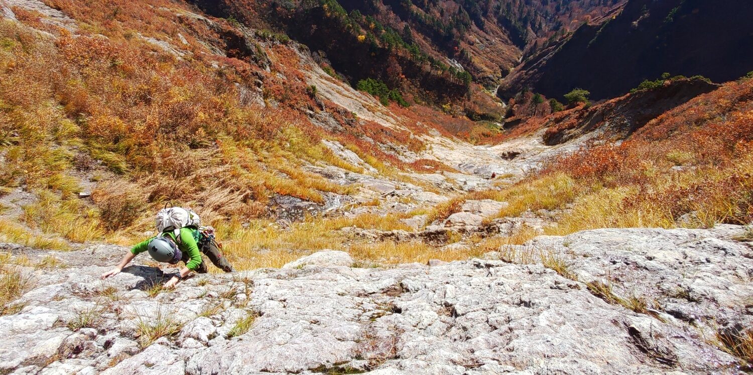
We arrived at Marumori-mine at 12:17 PM, past noon. From here, we began the descent. In stark contrast to the ascent, the descent continued down steep slopes of scree. Carefully lowering our elevation while trying not to lose our footing. The descent route remained as difficult as ever.
We returned to the parking area above Iide Sanso at 12:27 PM. Including rest time, it was a day trip of just over eight hours of actual movement.
After descending, we washed off our sweat at Kairagi-so. Soaking in the hot water, I reflected on the day. Keeping pace with T had not been easy, but because of that, it became a fulfilling mountain journey. The beauty of the Ishikorobi-Daisekkei, the Iide Mountain Range viewed from the ridgeline—all of it is deeply etched in my memory.
Next time, I’d like to try skiing down. Such thoughts welled up suddenly in the bathtub.
Iide will welcome us again. Until that time, I intend to carefully treasure the memories of today.
LOG SUMMARY