【Deep Dive Chronicle】Eboshi Rock Left Ridge: Self-Reliance on Ogawayama's Granite Spine
北村 智明
稜線ディープダイブ

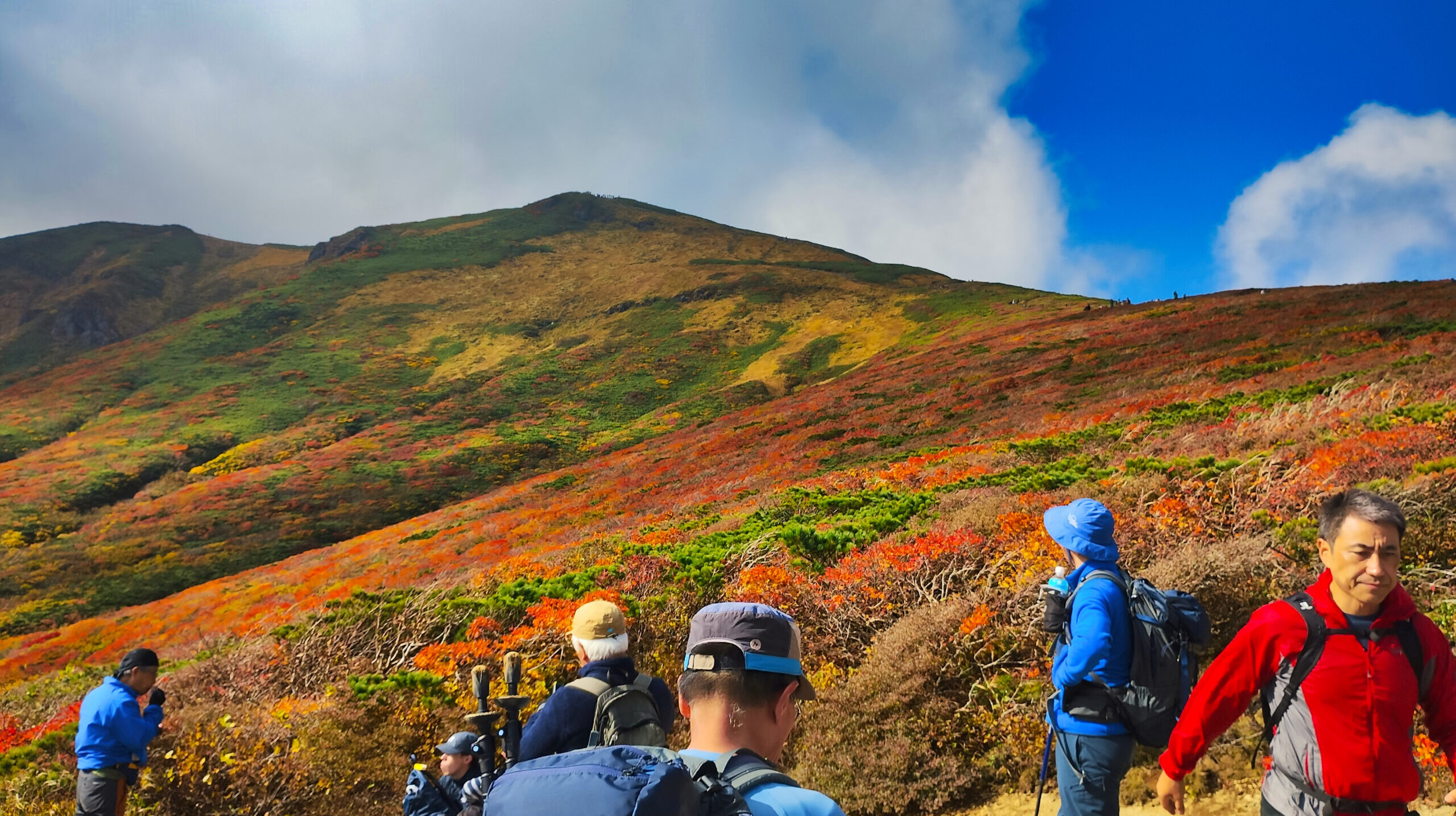
In mid-October, word had it that Mt. Kurikoma was having a banner year for autumn color. As a guide, I led twenty-one guests up from Sukawa Onsen and down to Iwakagamidaira — a luxurious one-way traverse. The mountain’s autumn foliage, known as the “Carpet of the Gods,” met us with a beauty that lived up to every expectation. This is an account of that autumn journey on Kurikoma, written both as a guide and as a climber in my own right.
We left our lodgings in Ichinoseki that morning. Two weeks had passed since Prime Minister Ishiba took office, and the country was consumed with talk of the general election — but the mountain waited for us unchanged, as it always did.
Together with our tour coordinator, Ms. O, the bus carrying twenty-one guests headed for the trailhead. Through the window, the mountains were already beginning to dress themselves in autumn color. I had heard again and again that this year was a banner year for foliage. Along with that anticipation, the weight of my responsibility as a guide settled heavily on my chest.
Mt. Kurikoma. At 1,626 meters, straddling the borders of Miyagi, Akita, and Iwate prefectures, this peak so impressed the mountaineer Kyūya Fukada that he later remarked he perhaps should have included it among his famous Hyakumeizan (Hundred Mountains of Japan). It also holds a place among the Flower Hyakumeizan and the Japan Two Hundred Mountains, and for years its autumn foliage has been known as the “Carpet of the Gods.”
We reached the Sukawa Onsen trailhead just after 9:00 AM. The parking lot was already lined with cars, bustling with climbers. For several years, part of the Sukawa Course had been closed due to volcanic gas near Lake Shōwa, but with a detour now in place, the trail was once again welcoming crowds of hikers.
I checked everyone’s gear. As a guide, I take no shortcuts with pre-departure checks — trekking pole length, how snugly boots were laced, whether rain gear was on hand. I went over each item carefully, one by one. The forecast called for clear skies, but mountain weather is fickle. Above all, caution comes first.
“All right, let’s go.”
At 9:24 AM, we set out from Sukawa Onsen.
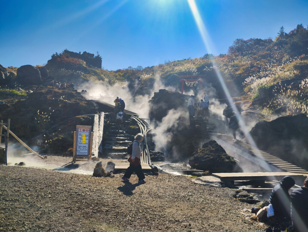
The trail was well maintained. The early stretch was a gentle climb. I gauged each participant’s pace and worked in breaks as needed. One woman, climbing Kurikoma for the first time, let out a gasp of admiration: “I’ve never seen foliage this beautiful.”
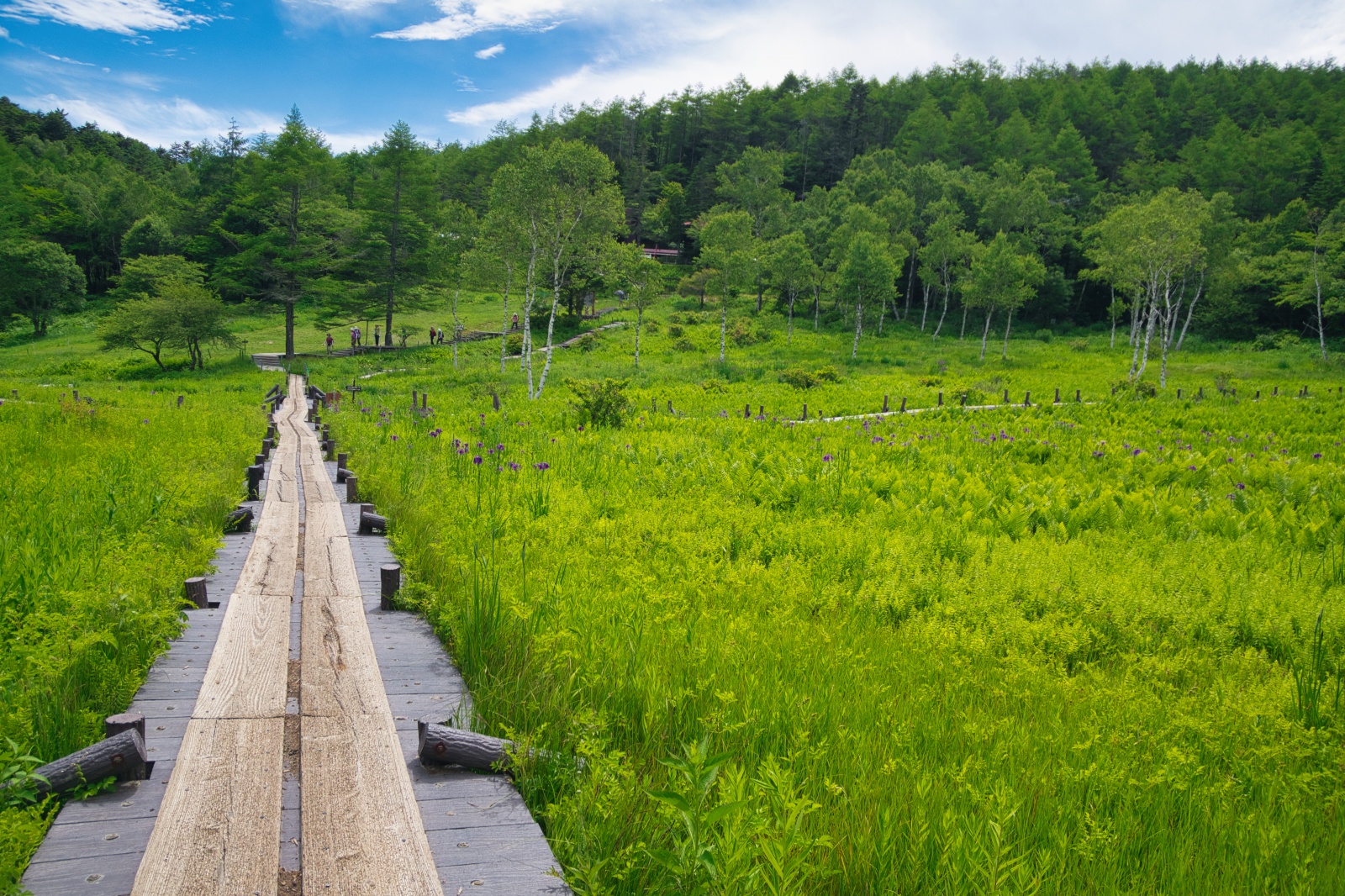
We reached Nagorigahara at 9:48 AM. The wetland’s grasses, turned autumn colors, soaked in the late-autumn sunlight and blazed a fiery gold. With every gust of wind, a dry rustling whispered the quiet approach of winter, and a wooden boardwalk stretched straight ahead of us. Looking back, the buildings of Sukawa Onsen appeared small in the distance. We took a short break here, and I encouraged everyone to hydrate. Temperatures drop as elevation increases, and sweat-dampened clothing saps body heat, so frequent adjustments to layering are essential.
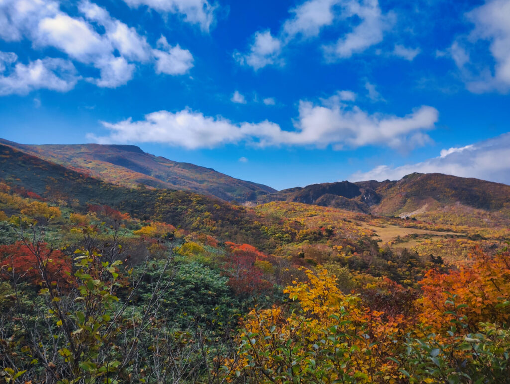
Past the Kokehanadai Junction, the real climbing began. The ground underfoot was mostly volcanic rock, with some slippery sections.
“Watch your footing from here on. Wet rocks in particular are slippery.”
I called out to the group as we moved forward carefully. A guide’s responsibility is to keep safety the top priority, always.
Before long, we heard the sound of a stream: the River Sanzu. Ominous as the name sounds, the water was shallow, and we could cross by hopping stone to stone. Still, the wet stones were slicker than they looked.
“Take it one step at a time, and place your feet firmly.”
I watched over the whole group as they crossed. One older gentleman looked a little uneasy, but he made it across safely, using his trekking poles skillfully. Seeing the relief spread across his face, I let out a breath of my own.
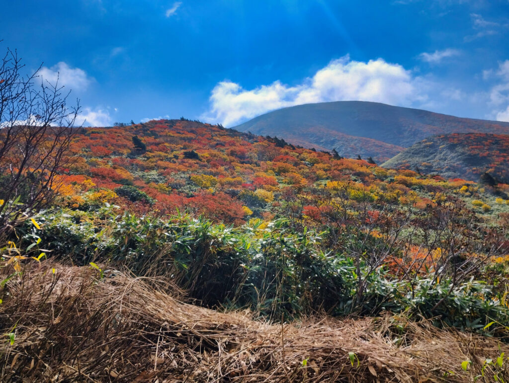
Looking up from the crossing point, the whole mountainside was dyed in brocade. Rowan, Erman’s birch, mountain maple — reds, oranges, and yellows mingled in intricate layers, and I could feel the mountain’s autumn dress deepening quietly around us.
“This really is a banner year, isn’t it.”
Ms. O murmured. I agreed completely. Foliage this spectacular doesn’t come around often.
We reached the summit at 1:03 PM. At 1,626 meters, the peak was crowded with climbers. It was a weekend in foliage season, and plenty of people had come to the mountain — all of them, no doubt, drawn here by the same Carpet of the Gods. We stopped for lunch. The wind was cold, but the sun felt warm. Everyone settled wherever they pleased and unpacked the lunches they’d brought.
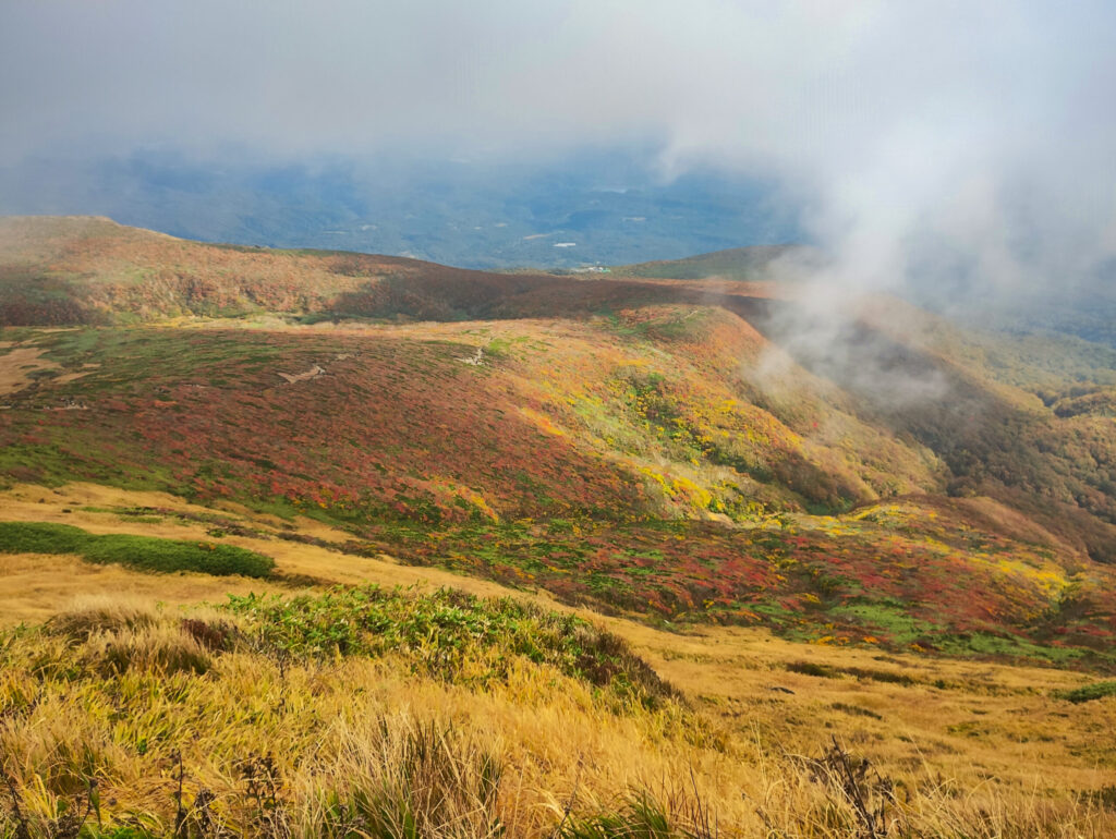
“Guide, what’s the name of that mountain over there?”
Where the young woman pointed, Mt. Chōkai stood serene in the distance. I identified the peaks one by one, explaining the surrounding mountains. Moments like these are, for a guide, the greatest joy of all.
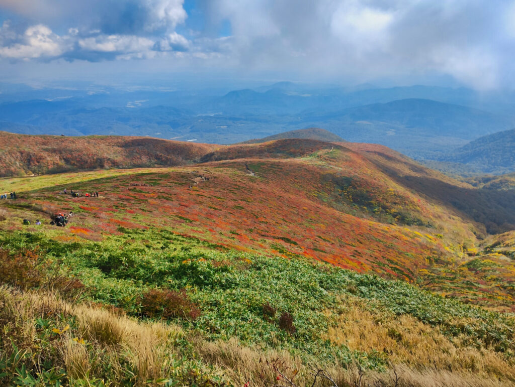
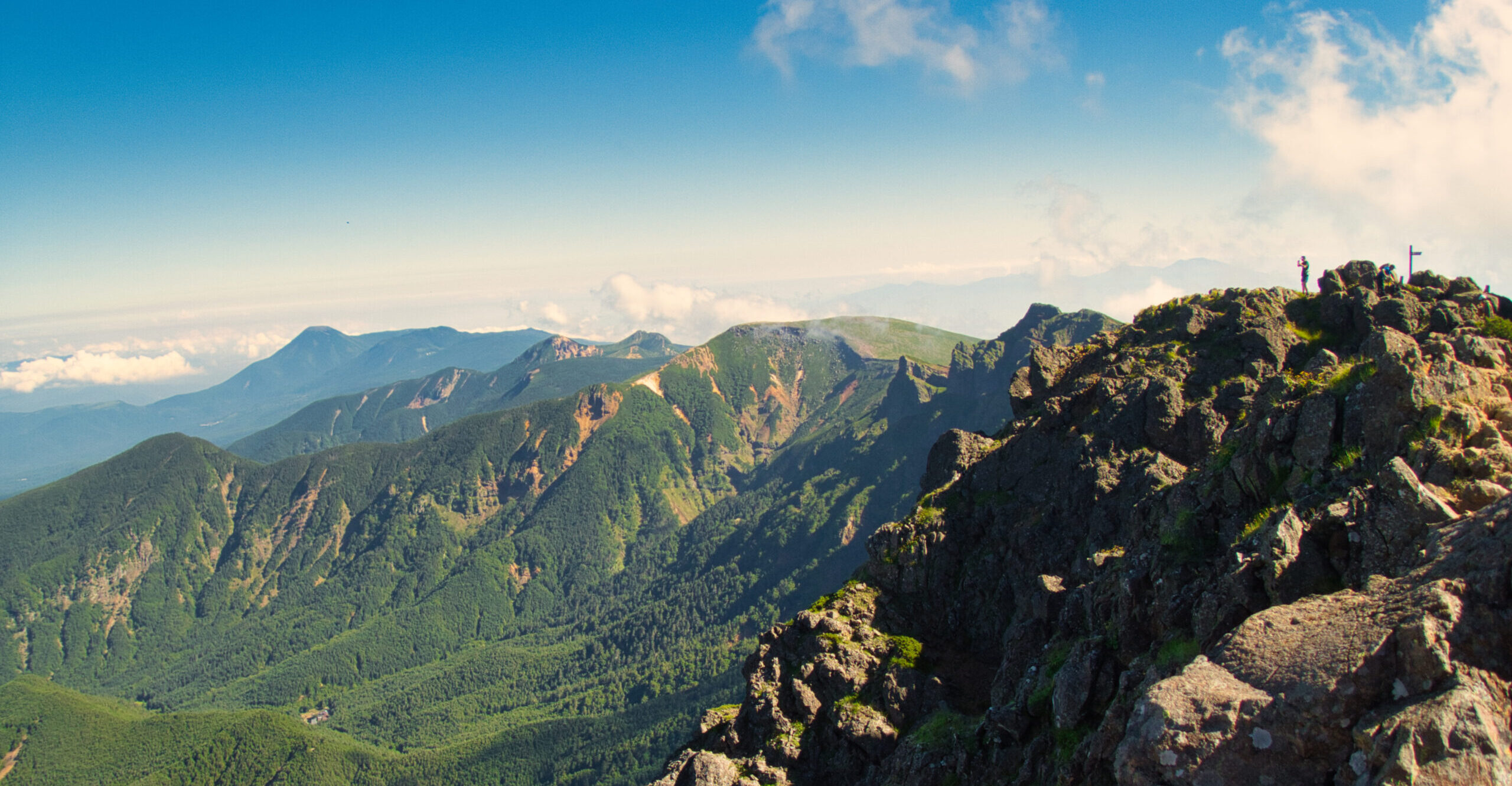
The view from the summit was magnificent. In the distance we could make out Mt. Iwate, Mt. Hayachine, and even Mt. Gassan. The group gazed at the scenery as if they’d forgotten their fatigue entirely.
“I’m glad I came.”
Mr. K murmured quietly. That single line is everything a guide could ask for.
For the descent, we took the Chūō (Central) Course. This route toward Iwakagamidaira offered a different view than the climb up — a luxury unique to a one-way traverse.
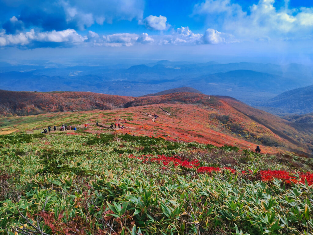
The beauty was such that it was tempting to let our footing slip from mind. For legs already heavy with fatigue, this view was far too sweet a temptation.
“Whenever you want to look at the scenery, please stop walking first.” Even as I called this out, I too found myself unable to look away from that flood of color.
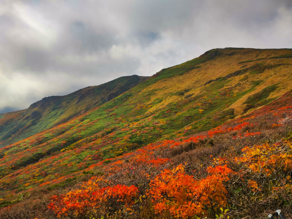
Descending demands even more attention to footing than climbing does. Especially in the later stretch, as fatigue deepens, the risk of a fall rises.
“Be extra careful on the way down. The more tired you are, the more deliberate each step needs to be.”
I repeated this again and again, moving back and forth along the line, checking everyone’s expressions and footing, and working in short breaks whenever needed.
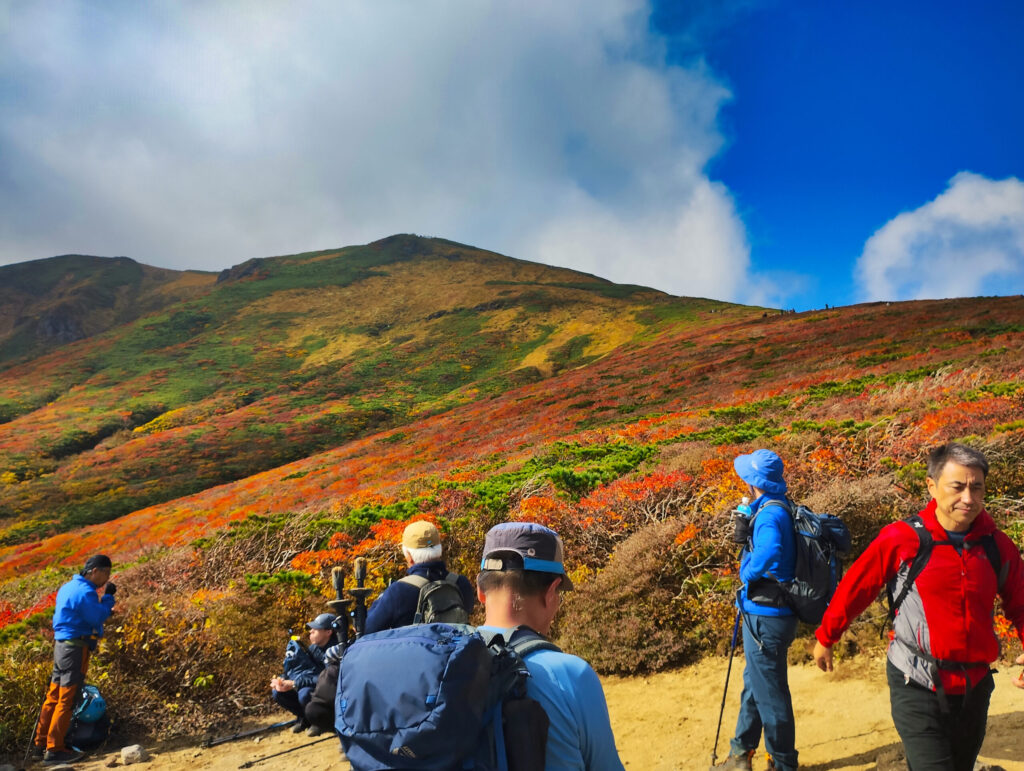
By the time we reached the junction of the Chūō and Higashi-Kurikoma courses, it was already past 2:00 PM. From here, Iwakagamidaira was only a short way off. Paying extra attention through the final descent, at 2:49 PM the whole group arrived together at the Iwakagamidaira parking lot.
“Thank you so much.”
The guests called out to me with smiling faces. Everyone had made it down safely. As a guide, there’s no greater joy than that.
The Carpet of the Gods on Mt. Kurikoma. It was a day when I got to share that beauty with twenty-one guests. And the mountain, I’m certain, will welcome us again next year, unchanged.
LOG SUMMARY
Note on GPS Data Usage
The GPX data published in this article is based on the actual route record from the day of this hike.
Please keep the following in mind when using it: