【Deep Dive Chronicle】Eboshi Rock Left Ridge: Self-Reliance on Ogawayama's Granite Spine
北村 智明
稜線ディープダイブ


In late January, with the whole archipelago locked in the grip of the season’s strongest cold wave, I turned my back on the skies of Tohoku and drove south to the foot of Tokyo’s highest peak. My destination was Sanjo-no-Yu, a hot spring hut tucked into the valley. What waited there was a winter wind that stung the skin, and the warmth of spring water that soaked all the way to the core. This is the record of two days in which a mountaineer held a quiet conversation with winter, somewhere between a silver-white ridge and drifting steam.
In late January, I planned a trip to Mt. Kumotori-yama (2,017 m), which rises at the point where Tokyo, Saitama and Yamanashi prefectures meet. One of the Nihon Hyakumeizan (the 100 Famous Japanese Mountains), it is best known as the highest peak in Tokyo.
Originally, I had been eyeing the Sekison Ridge, a variation route on the Yatsugatake Range. But one look at the weather map told me otherwise: a severe cold wave covered the entire archipelago, and the Japan Meteorological Agency was calling it the coldest air mass of the winter. I decided to be prudent and change the plan. Mt. Kumotori-yama, I reasoned, can be climbed relatively safely even in winter. On top of that, I had heard there was a mountain hut with a hot spring, Sanjo-no-Yu.
I left Miyagi the previous evening, heading south on the Tohoku Expressway, then through the Shuto Expressway and onto the Chuo Expressway. The next morning, as I arrived at Tabayama Village, I parked the car just short of the gate, and a man walked up to me.
“Fukushima plates, eh?”
He was the owner of a mountain rest stop called Yama-no-Kyukeijo “Kaeru,” and it turned out he had once worked as the hut keeper at Kurogane-goya Hut on Mt. Adatara-yama. It’s a small world. I never imagined I’d be swapping stories about Tohoku’s mountains in a place this deep in the hills. We got to talking, and in the end he drove us all the way to the gate of the forest road. That alone saved us about an hour.

We got out at the gate and made our preparations. It was cold enough that our breath froze white in the air. I exchanged a look with K, and we nodded. Right, let’s go.

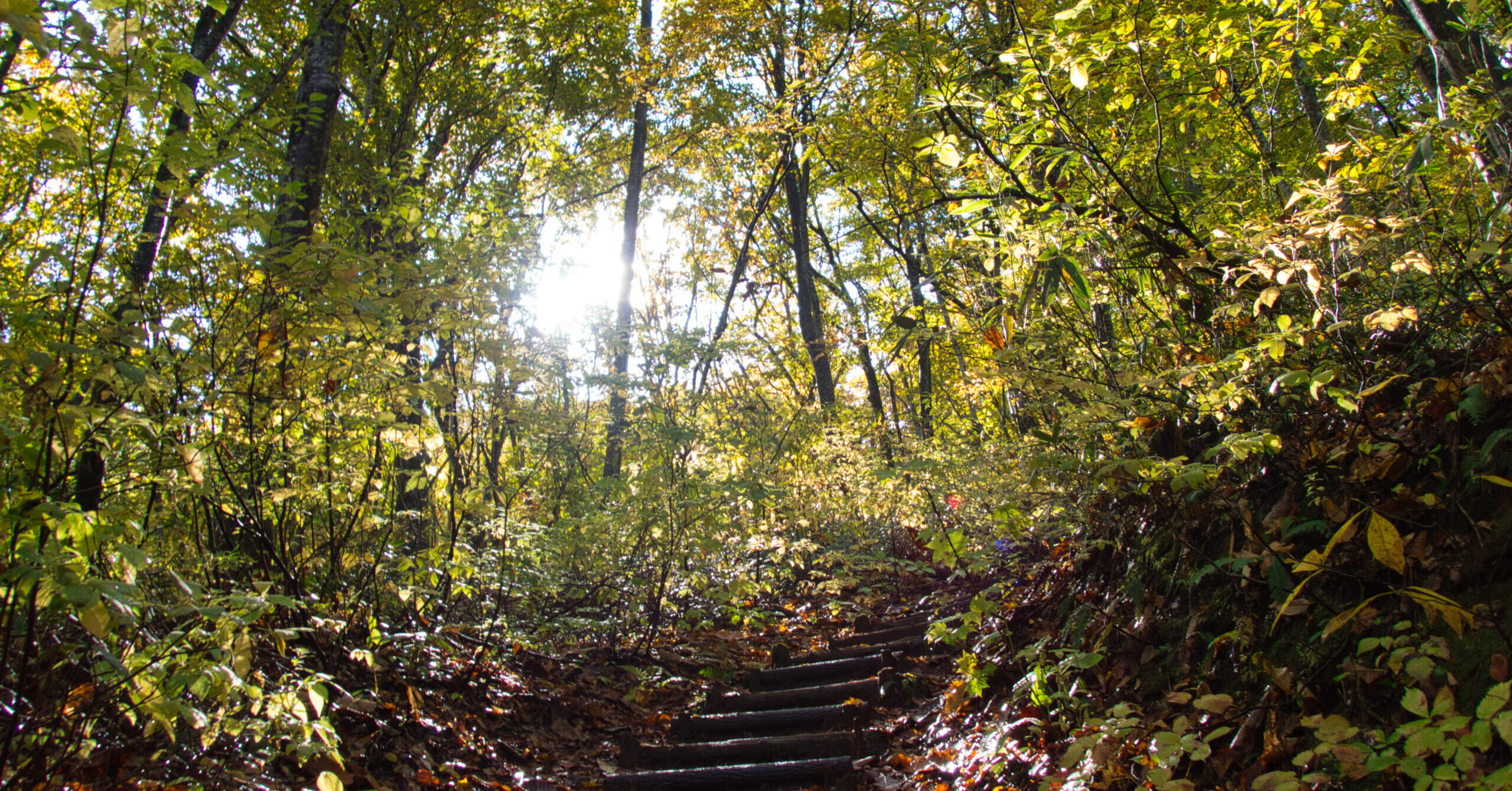
The Ushiroyama Forest Road stretched ahead. We simply kept walking along this quiet road, closed to vehicles. To our left we could see the flow of the Ushiroyama-gawa River, and now and then a cold wind slipped through the winter-bare trees. Only the sound of our footsteps and the river echoed in the valley.

After about three hours on the forest road, the actual trail began. Thirty minutes later, we reached Sanjo-no-Yu Hot Spring Hut. Sitting at 1,103 m, it is the only lodging on the mid-slopes of Mt. Kumotori-yama.

After pitching the tent, I headed to the reception desk. The hut is solid and unadorned. Along its side stood firewood stacked higher than a person’s head, rising like a wall: preparation for getting through winter this deep in the mountains. The resolve to face harsh nature was written in that pile of logs.

For lunch, I had the hut’s signature venison curry. It was a spicy keema curry with generous chunks of venison. There was no gaminess at all, and the aroma of the spices tickled my nose. It warmed me from the core. I had heard that deer damage to vegetation has become a serious problem in this area in recent years. Serving the meat as gibier (wild game) felt like the hut’s own way of helping protect the mountain environment, in whatever small way it can.

After the meal, I went to the hot spring. The chance to soak in an onsen in the mountains is rare. Because the hut sits at the headwaters of the Tama River, soap and shampoo are not allowed, but that was more than enough. The bath is made by heating mineral spring water that comes out of the ground at about 20°C, and it sits just under 40°C. It felt wonderful on a body chilled by the winter air. Outside the window, the winter mountains stood quietly. The trees had dropped their leaves and exposed only their skeletons, like a sumi-e ink painting.

Sanjo-no-Yu stands at 1,103 m, and it is the only mountain hut in the Mt. Kumotori-yama area with a hot spring. At the bottom of a valley where mobile phones get no signal, the time I spent soaking in the water felt like another world entirely. Stepping out of the tub, the cold air stung my skin. But that too was a pleasant kind of sting.

Back at the tent, I started preparing dinner. Since the day’s moving time was short, I had carried in ingredients I normally wouldn’t bring: eggs, garlic chives, napa cabbage, bean sprouts, pork, kimchi and tofu. We were making kimchi nabe (hot pot). Using this many ingredients in the mountains is a luxury, but this time it was a luxury I could allow myself.

The vegetables bubbled in the cooking pot. The spiciness of the kimchi blended with the savory richness of the pork, making a dish just right for a winter night. K and I sat around the pot and spent the evening together. We didn’t talk much, but the silence was a comfortable one.
That night, lying in the tent, I thought through the next day’s plan. From Sanjo-no-Yu to the summit of Mt. Kumotori-yama is an elevation gain of roughly 900 m. In deep winter, that demands careful judgment. At the same time, I looked forward to the views from the top.
From outside the tent came the occasional sound of wind. The cold air rushing down the valley shook the tent fabric. Listening to that sound, I fell asleep.

The next morning, I looked out of the tent and found a light dusting of snow. It was a world of sub-zero temperatures. I dropped ramen noodles into the leftover nabe for breakfast and got ready to leave. It was going to be a long day. In preparation for snow and ice, I put on my chain spikes.

The steep climb began almost as soon as we left Sanjo-no-Yu. Dry leaves and sandy ground made for unstable footing, and the trail, caught in a cycle of freezing and thawing, was complicated. On the slippery sections, I chose tree roots and rocks carefully as I went. One step at a time, one secure step after another.

The path eventually eased, and it continued as a traversing trail up to Sanjo-darumi (the saddle). In sunny spots it was warm, but the moment we stepped into shade, the cold struck. Nature draws its lines without mercy. A body warmed by sweat chilled quickly, and I stopped many times to adjust my clothing to regulate body temperature.
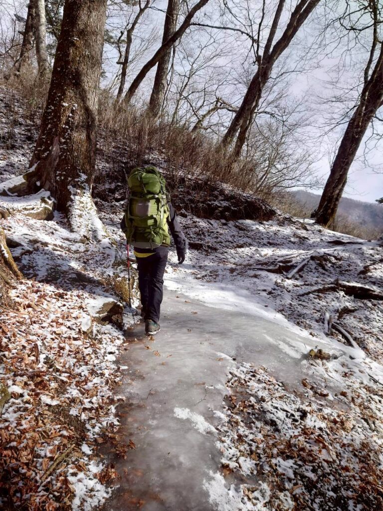
From Sanjo-darumi onward, there was about 5 cm of snow. It was thin, but many sections were frozen. The choice of chain spikes was the right one. Lightweight and easy to put on and take off, they really prove their worth in delicate snow conditions like these. Step by step, we advanced with confidence. The snow surface, a gathering of fine crystals, glittered in the sunlight.

After about an hour of walking, we passed the emergency hut (hinan-goya), and the summit of Mt. Kumotori-yama came into view. The final climb left me short of breath. But I didn’t stop. I kept my rhythm, steadied my breathing, and gained altitude one step at a time.

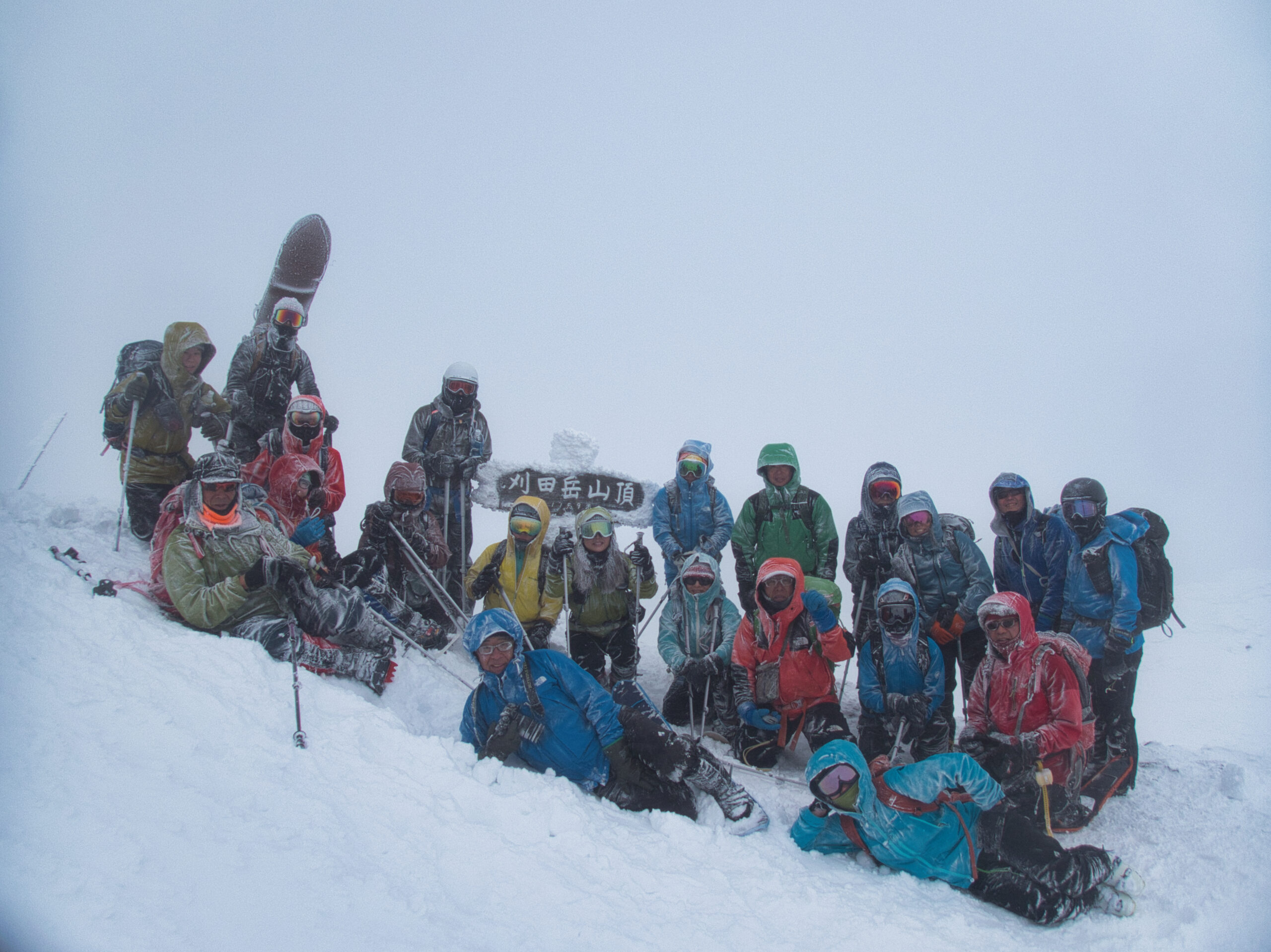
At the top stands a stone monument inscribed “Mt. Kumotori-yama, Highest Peak in Tokyo.” The elevation is 2,017 m, and it is the only mountain in Tokyo to exceed 2,000 m.
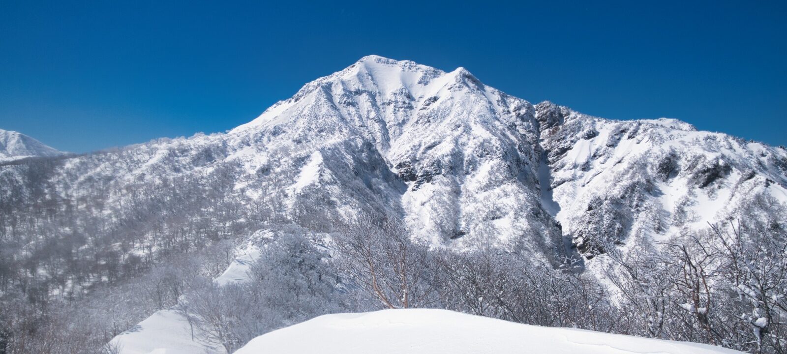
The view from the summit was magnificent. Mt. Fuji floated in the clear sky as though wrapped in white silk, and the peaks of the Southern Alps lined up in the distance. The wind was strong, but the sky was completely clear. A transparent world, one that can only be seen in winter mountains, lay before us.

The summit was unexpectedly busy. Despite the severe cold wave, about ten other climbers were there. I stepped into the emergency hut and cooked udon. The temperature outside was probably around minus 10°C. Inside, the hut did nothing more than block the wind, but that alone made it a welcome refuge.

For the descent, I chose Ishio Ridge. It is a comfortable ridge path that passes over Mt. Ko-Kumotori-yama and continues on through Bunazaka to Mt. Nanatsuishi-yama. The snow soon disappeared, but there were quite a few icy spots. We kept our chain spikes on all the way to Nanatsuishi-goya Hut, staying alert to our footing and descending at an even rhythm.

Ishio Ridge has been cleared of trees as a firebreak, so the views open wide. The pleasure of walking a ridgeline is one of the true joys of mountaineering. Yet the ground underfoot is not to be trusted. A moment’s lapse in attention could lead to something irreversible.

At Nanatsuishi-goya Hut I took off the chain spikes, and from there we walked on regular boot soles. We descended through Dosho to Chaniba. As we lost elevation, I could feel the temperature rising.
By the time we reached the Tabayama Village parking lot, the western sky was beginning to turn a deep red. A long day was drawing to a close.
After the descent, we drove to Okutama Onsen Moegi-no-Yu. The pricing, ¥1,050 for three hours, is a blessing for climbers coming off the mountain. The slippery, silky water wrapped around my tired body, and it was a very good bath. The fatigue of the two-day trip slowly melted away.
A change of plans, a chance encounter, the luxury of a hot spring, and a summit in the middle of a cold wave. It was two days spent enjoying winter on Mt. Kumotori-yama to the fullest.
LOG SUMMARY
Links
© OpenStreetMap contributors
Download file: kumotoriyama-winter-climb.gpx
This route map is based on data recorded during the actual hike.
Map of the route “【Deep Dive Chronicle】Mt. Kumotori-yama in Winter: A Minus-10°C Ridge and the Warmth of Sanjo-no-Yu”: 36,949 m, 3,330 m of climbing and 3,257 m of descent, elevation between 641 m and 2,041 m, time 31:08:11. It starts at 35.79940, 138.95609 and ends at 35.78605, 138.97735 (latitude, longitude).
Please use the GPS data and route map as reference information only.
Winter Mountaineering Precautions:
General Precautions:
We accept no responsibility whatsoever for any damage or loss resulting from the use of this data.
Thank you for reading about Mt. Kumotori-yama. It is the highest peak in Tokyo at 2,017 m, and in winter it offers a clear ridge, views of Mt. Fuji, and a hot spring hut on the way up.
About this hike
Why go with a guide?
I am a JMGA-certified mountain guide (Stage II) with about ten years of experience.
Language: I don’t speak English fluently, but we communicate well using translation apps on our phones. Before the tour, we confirm the route, schedule, and safety points together by email.
Practical details