【Deep Dive Chronicle】Mt. Iwaki-san — First Snow, Elegance, and Inner Reflections
北村 智明
稜線ディープダイブ

A white void with zero visibility. All we had to rely on was the presence of our companions and our own senses. On Mt. Nakamaru-yama in the Zao Range, in February, the ridge where we had meant to let our skis run turned, before we knew it, into a training ground for testing our limits. What answer did we find, having come through the trap of tree wells and the threat of frostbite? This is a fragment from one winter day, taken on with quiet passion.
We left Miyagi early in the morning. This outing was a large one: twenty-five people in all. Twelve of us were heading for Mt. Nakamaru-yama on backcountry skis, seven were bound for ice climbing at the Sennin-zawa Ice Garden, and six formed a walking group. Our destinations differed, but we were all companions headed for the same Zao mountains.
We reached the parking lot at Zao Liza World at 8:44 AM. The Zao Range, whose highest peak is Mt. Kumano-dake (1,731 m), is a chain of volcanoes along the border of Miyagi and Yamagata Prefectures. It is one of the signature mountain areas of Tohoku, famous for its juhyo (rime-ice-covered trees) and hot springs. But today we were not after Zao the tourist destination.
We changed into ski boots and checked our gear. We did not put the climbing skins on yet, because we can’t ride the lift with skis on our feet. We would attach them at the upper station. After twenty minutes of preparation, we headed for the LIZA PAIR II ropeway at 9:04 AM.
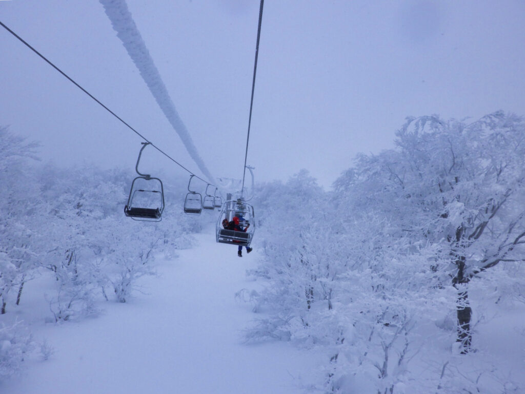
The gondola rose quietly. The view that should have spread out below us was already lost in a white haze. The weather was worsening, just as forecast.
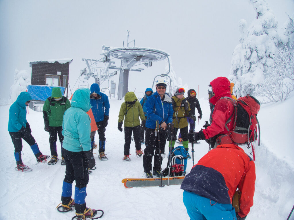
We stepped out at the upper station. The wind was strong. Here we attached our skins and set off at 9:20 AM, starting to climb the snow slope toward Otagami Refuge Hut. At this point we could still see.
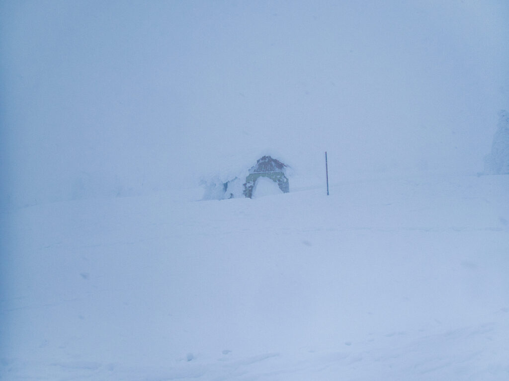
We reached Otagami Refuge Hut at 9:49 AM. The wind and snow had grown fiercer still. Around the hut we checked our equipment and prepared for the climb up to the ridge ahead.
We made contact with the rest of the party on specified low-power radios (tokushō). If visibility dropped from here on, voices would be all we had. We agreed to carry the radios and keep talking as we moved.
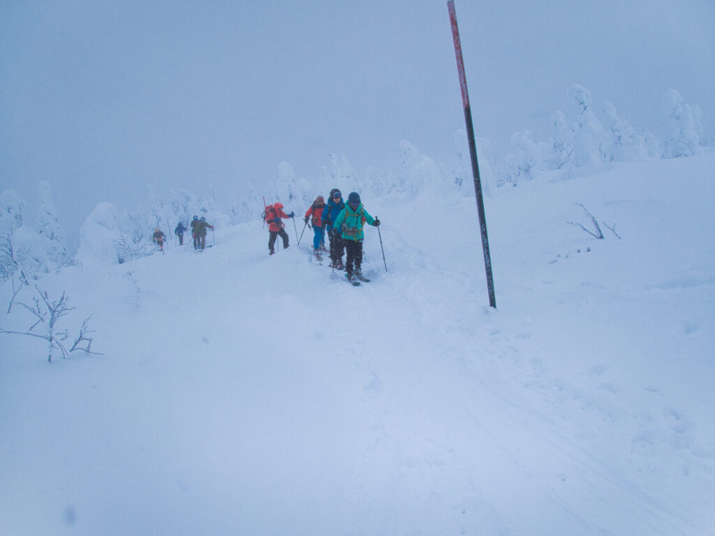
We pressed on toward Uma-no-se (the “Horse’s Back” ridge). This section still had some visibility. But “some visibility” was by no means “good”: we could see a few dozen meters ahead, no more. We sensed that once we reached the ridge, everything would change.
Partway up, we passed climbers coming down. They were heading the opposite way. They were turning back. I couldn’t see their faces, but I could feel the weight of their decision. Should we make the same call? For a moment, I hesitated. In the end, we chose to continue.
At 10:46 AM, we reached Uma-no-se.
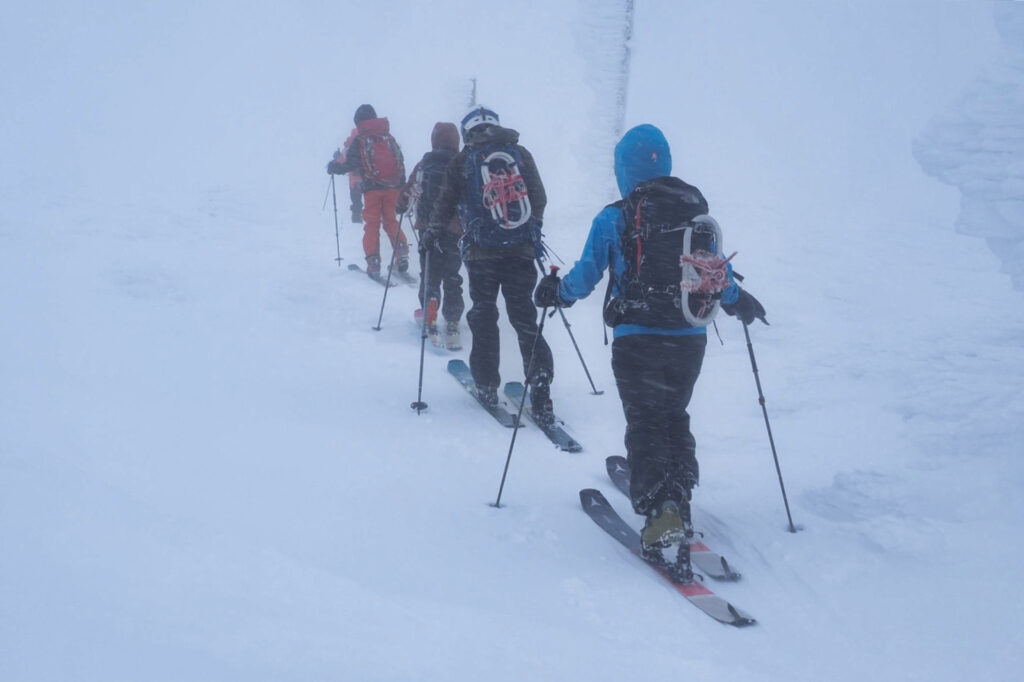
In an instant, the world was painted white. The wind hit us without mercy, shoving at our bodies even as we simply stood there. Visibility was nearly zero. No Okama crater lake. No Mt. Kumano-dake. Even companions only a few meters away threatened to vanish into the mist.
So this is Uma-no-se in winter. On a ridge that had become a place of ascetic discipline (shugyō), we stood rooted to the spot.
A message came over the radio: the walking group was turning back. A wise decision. On foot, a ridge walk in these conditions carried too much risk. We had our backcountry skis and the option of skiing down. For those on foot, this ridge must have felt like another order of difficulty altogether.
A pole stood in the snow. Battered by wind and snow, it still insisted on its presence, a lone marker. We decided to rely on it and head toward Mt. Kumano-dake. The plan was not to climb Kumano-dake itself, but to traverse to the col between Mt. Nakamaru-yama and Kumano-dake. But in this whiteout, could we really stick to the plan?
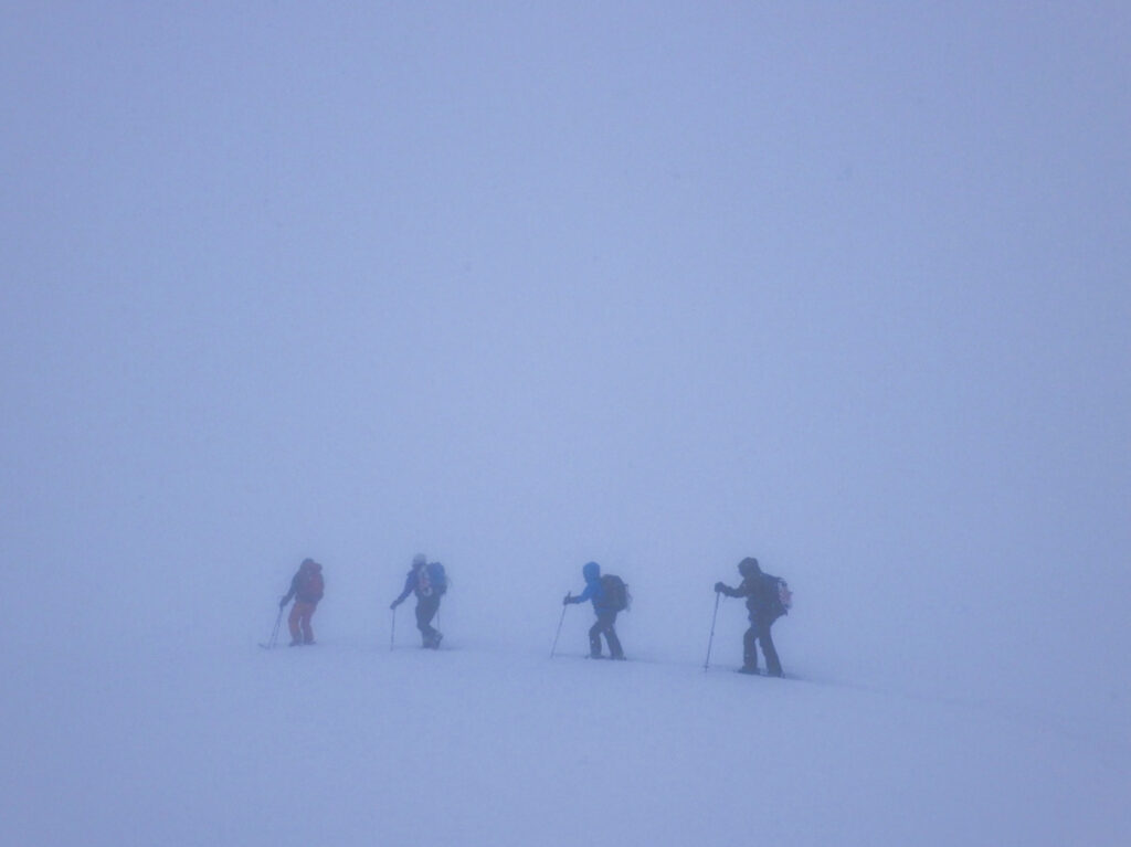
I was uneasy. Yet no one among us suggested turning back. The twelve of us talked it over. We had sufficient equipment and experience. We decided to move forward, carefully.
We advanced while checking the GPS. We knew where we were. We knew where we were going. But we could not read the terrain right in front of us. Visibility was so poor that even going straight was difficult. We zigzagged and floundered.
The snow surface hid countless gaps (cracks and sudden drops). In such conditions they were nearly impossible to spot. Sure enough, people kept falling. I fell several times myself. Getting back up on skis after a fall is a struggle in itself.
Suddenly a cliff appeared before us. A steep slope. A wall of snow. A cornice.
We learned the terror of a whiteout with our own bodies. If you can’t see a few meters ahead, you can’t see the hazards a few meters ahead either. One wrong step and you fall off a cliff. You break through a cornice. We went on, living beside that fear.
We took extra care and read the route again. We tried to follow the direction the GPS indicated, but the terrain would not allow it. We detoured. Advanced again. Another obstacle. Another detour. Only time went by.
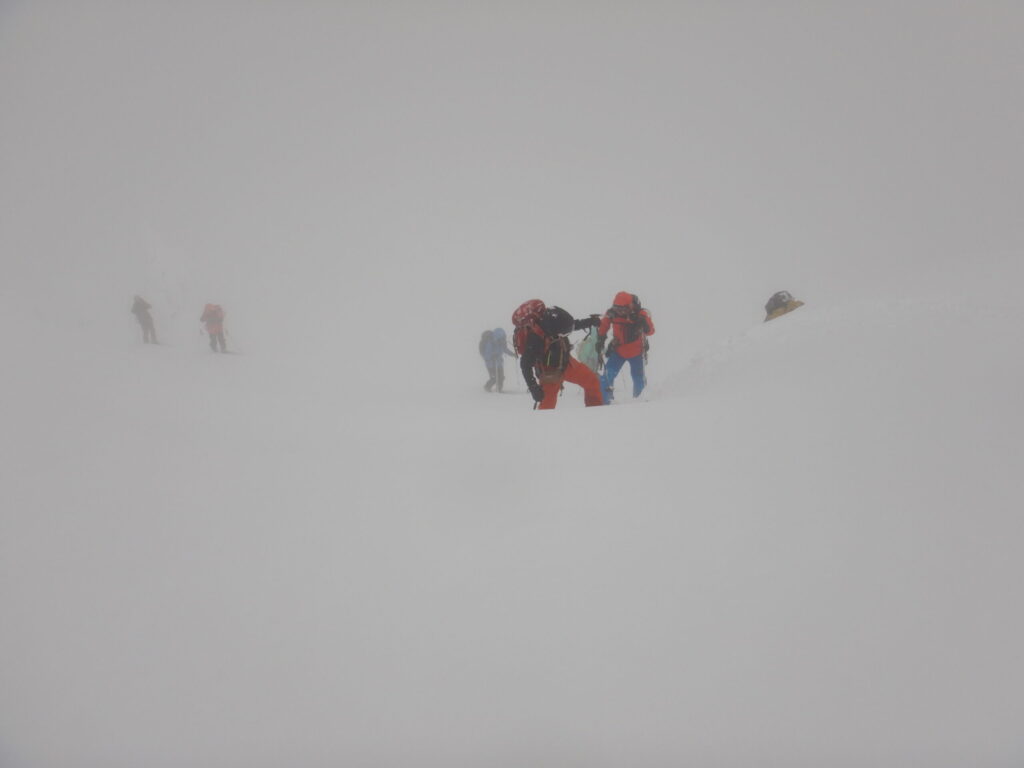
At 2:10 PM, Mt. Nakamaru-yama finally came into view. Or rather, it would be more accurate to say we had arrived at the point the GPS indicated. Visibility was still poor.
Just below the summit, a cornice suddenly loomed. We skirted it, picked our line carefully, and climbed toward the top. All of us reached this point, at 1,562 m elevation, safely.
At 2:41 PM, we stood on the summit of Mt. Nakamaru-yama. There was no view at all. Still, we felt a sense of achievement. All twelve of us had reached our goal under these harsh conditions.
We took a break and refueled. Our bodies were chilled through, yet something warm welled up from within. I saw the same sense of fulfillment on my companions’ faces.
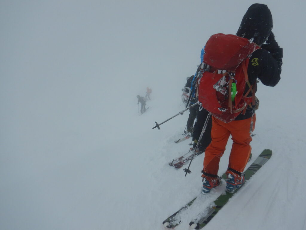
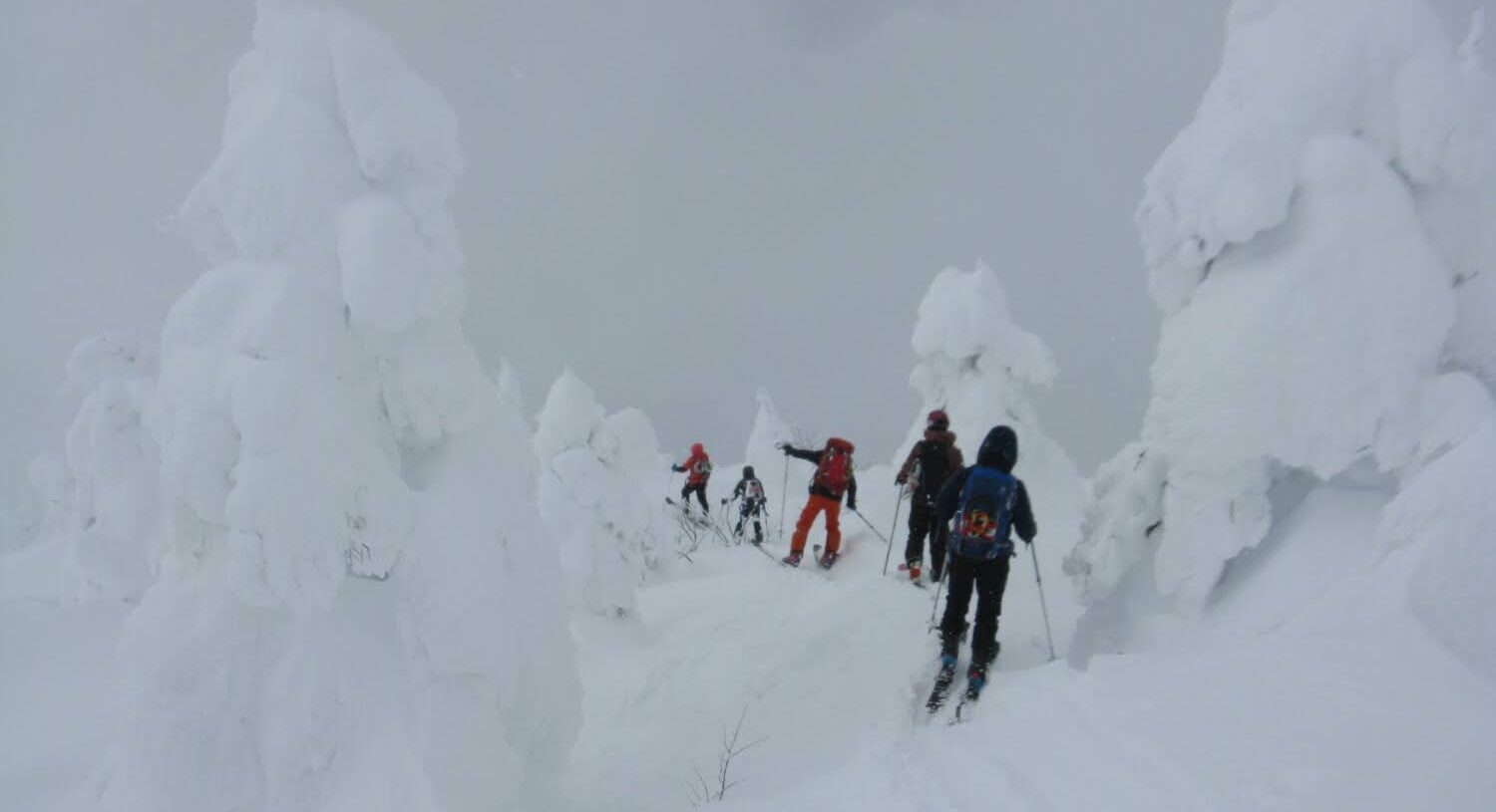
At 3:28 PM, we began our descent, from Mt. Nakamaru-yama toward Sennin-zawa. From here we would ski down through the snow monsters, the forest zone of trees encased in rime ice.
Once we entered the snow monster zone, the strangeness of the scenery reached its peak. Groves of Aomori-todomatsu (Maries’ fir), clad in armor of ice, stood silent in the storm with the presence of towering colossi. Their surfaces, battered by wind and plastered with snow, were rugged yet carried a certain beauty. They were silent sculptures, carved by harsh nature over long years, permitted only to winter in Zao. Filled with awe, we threaded our way between those strange forms.
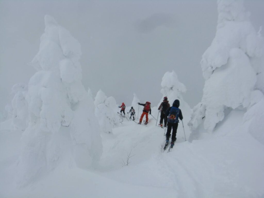
Visibility gradually began to return. It was far better than the violent whiteout on the ridge. Even so, we could not let our guard down.
We wove through the snow monsters. Trees turned into enormous blocks of ice created a fantastical landscape. It was beautiful. But with poor visibility, that beauty could become a weapon.
Sure enough, one of my companions crashed into a snow monster. Poor visibility had made it impossible to judge distance.
And then I fell into a tree well.
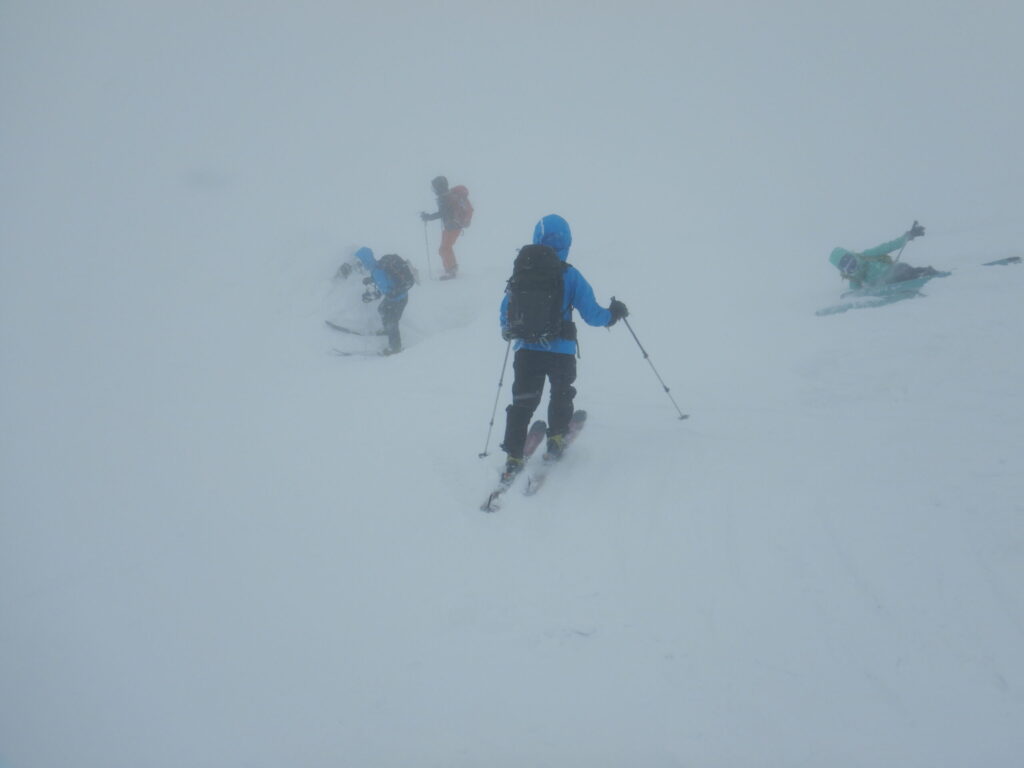
A tree well is a hollow that forms around the base of a tree. Hidden under snow, it is a pitfall in the truest sense. The moment I stepped forward, the ground gave way beneath me. My body tilted and sank into the snow. With skis still on, I couldn’t move.
My companions rushed over and pulled me out. I wasn’t hurt, but I broke into a cold sweat. One wrong step, and it could have become a serious situation.
We called out to one another and checked each other’s positions as we descended carefully. By the time we entered the trees, visibility had improved further. A sense of relief. But we still couldn’t relax.
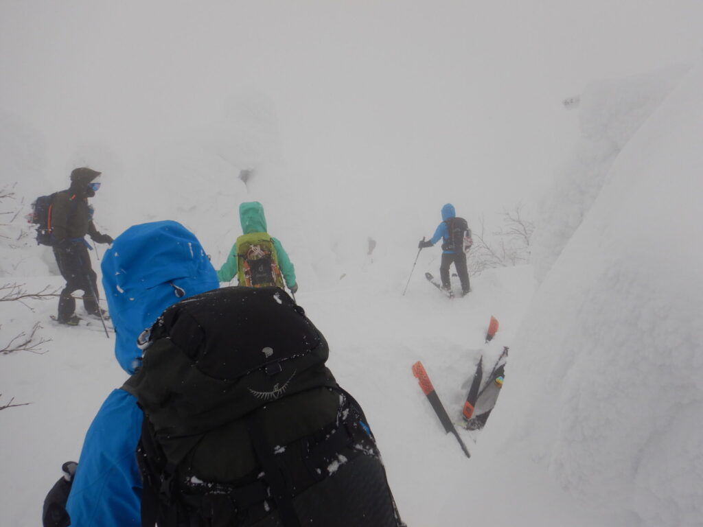
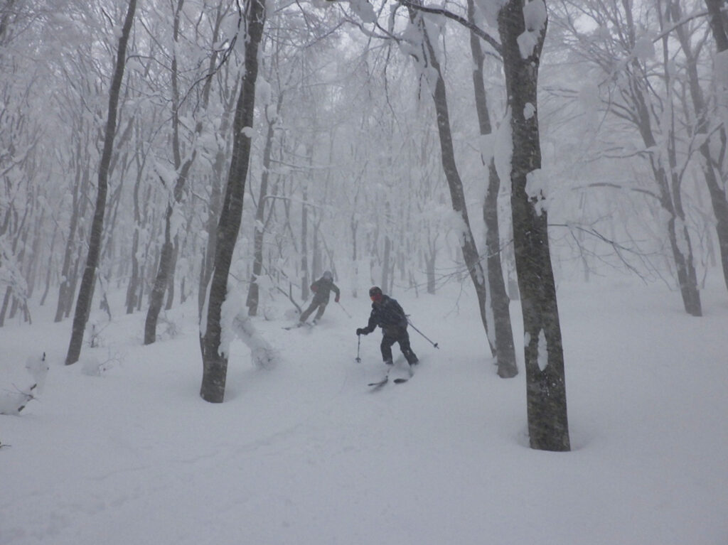
The descent into Sennin-zawa was a steep slope through forest. We set our ski edges and went down with care, each step sure. A fall here would mean more than injury.
At 3:55 PM, we reached Sennin-bashi Bridge. Before the bridge, we took off our skis and switched to wakan (Japanese snowshoes). We crossed the bridge with our skis strapped to our packs (shi-tora).
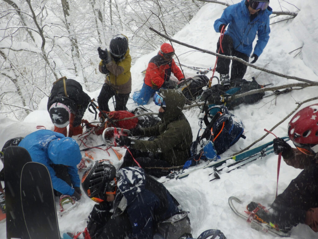
From here on, we were in safe territory. But one last ordeal awaited us.
The climb back up to the ski area. Knee-deep trail-breaking began. The fresh snow was deep and dragged at our legs. The leader would push ahead a few meters, run out of strength, and swap with the next person. Each of us took a turn, gaining height little by little.
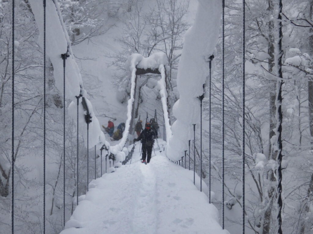
So this is the irony of having an uphill at the end of a descent. A final load on bodies already heavy with fatigue. But not one of us complained. We encouraged one another and pushed on in silence.
We emerged onto the ski area. From here, a short glide down gentle slopes would bring us back to Liza.
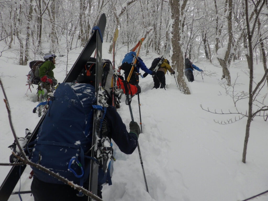
At 4:30 PM, we returned to the Liza Rest House.
We took off our gear and finally caught our breath.
I looked in the mirror and was stunned. The few centimeters of exposed skin between my goggles and balaclava had turned black. Frostbite.
It was the result of being exposed to strong wind in the blizzard. I had thought my cold-weather protection was thorough. But a tiny gap can prove fatal. That is the reality of winter mountains.
There was no pain. That made it all the more unsettling. Frostbite is often past the point of help by the time you notice it. Fortunately, this case seems to have been mild, but had the exposure lasted a little longer, it could have turned serious.
It was a long day. Our moving time was 7 hours 49 minutes, about eight hours with breaks. The distance was 12.1 km, with 827 m of ascent and 846 m of descent. Looking at the numbers, it was by no means a long outing.
Yet the floundering in the whiteout, the string of falls, obstacles appearing out of nowhere, the fall into the tree well, the forest of snow monsters, the steep descent, and finally the trail-breaking. And the frostbite. This one day drained far more than I expected, in strength, in spirit, and in the body itself.
The sound of our breathing as we took turns breaking trail back up to the ski area still stays in my ears. Mt. Nakamaru-yama in winter Zao was a place of discipline that allowed no indulgence, and at the same time the finest stage for stirring a skier’s soul. To say we “savored” it would be too harsh a claim for such a severe day, yet my heart is filled with a fulfillment I have never felt before. With all I learned as nourishment, on to the next snowy mountain. Zao’s severe white now feels, simply, dear to me.
LOG SUMMARY
GPS Data
Map of the route “【Deep Dive Chronicle】Zao Nakamaruyama Backcountry Ski: Whiteout Ridge in a Winter Blizzard”: 22,763 m, 3,022 m of climbing and 3,053 m of descent, elevation between 1,063 m and 1,796 m, time 07:50:01. It is a loop that starts and ends at 38.12432, 140.40718 (latitude, longitude).
GPS Data Disclaimer
The route and GPS data introduced in this article are for reference only. Please keep the following in mind on an actual outing:
Plan your outing and make your decisions on your own responsibility.